Browse / Thailand / Bueng Kan / Seka
Seka
Bueng Kantown
Air quality index
Demographic figures from National Statistical Office of Thailand. Overview below cites Wikipedia and may reference a different year.
City facts
Overview
As a town in Bueng Kan, Thailand, Seka occupies its own corner of the country. The settlement sits at 17.929°, 103.955°, a tropical location in the northern hemisphere. Detailed population figures are not currently catalogued in the open data sources we track. The latitude suggests warm temperatures throughout the year with pronounced wet and dry seasons. Open solar datasets indicate about 1,837 kWh/m² of solar irradiance per year, combined with sunshine for roughly 72% of daylight hours. Additional figures on demographics, climate, geography and points of interest appear in the sections that follow, all drawn from open public datasets.
Summary composed automatically from structured open data on this page. See our Terms for details.
History & geography
Geography
Coordinates & boundaries from the US Census TIGER/Line shapefiles.
Climate
Air quality
Current readings from Open-Meteo Air Quality API (Copernicus CAMS European reanalysis).
Walkability
Amenities nearby
Wildlife & biodiversity
Most-observed species
- Large-billed CrowCorvus macrorhynchos Wagler, 1827 · Aves43
- Western SwamphenPorphyrio porphyrio (Linnaeus, 1758) · Aves42
- Black-naped MonarchHypothymis azurea (Boddaert, 1783) · Aves42
- White-rumped ShamaCopsychus malabaricus (Scopoli, 1786) · Aves40
- spot-billed duckAnas poecilorhyncha J.R.Forster, 1781 · Aves40
- Stripe-throated BulbulPycnonotus finlaysoni Strickland, 1844 · Aves37
- Gray-headed Canary-FlycatcherCulicicapa ceylonensis (Swainson, 1820) · Aves37
- Black DrongoDicrurus macrocercus Vieillot, 1817 · Aves37
Citizen-science & research observations from the Global Biodiversity Information Facility (GBIF).
Earthquake history
Events from the USGS Earthquake Catalog (global) (FDSN Event Web Service).
Photos
Sights & places nearby
Notable people from here
Nearby places in Bueng Kan
- Bueng Khong Long6.4 mi away
- Phon Charoen17.5 mi away
- Si Wilai22.5 mi away
- So Phisai34.9 mi away
- Bueng Kan36.3 mi away
- Pak Khat50 mi away
- Sarız4249.6 mi away · pop. 9,558
- Pınarbaşı4254.9 mi away · pop. 23,658
- Akkışla4266.7 mi away · pop. 6,429
- Sarıoğlan4277.5 mi away · pop. 13,936
- Bünyan4283.7 mi away · pop. 25,950
- Tomarza4287.3 mi away · pop. 22,818
Geography & sun
Elevation, sunrise/sunset and daylight from Open-Meteo. Solar climatology from NASA POWER.
Nearby airports
Public attention
Books about this place
Recent natural events nearby
Ground air-quality sensors
Recently spotted species
Research-grade observations from iNaturalist (within ~15 mi).
Events
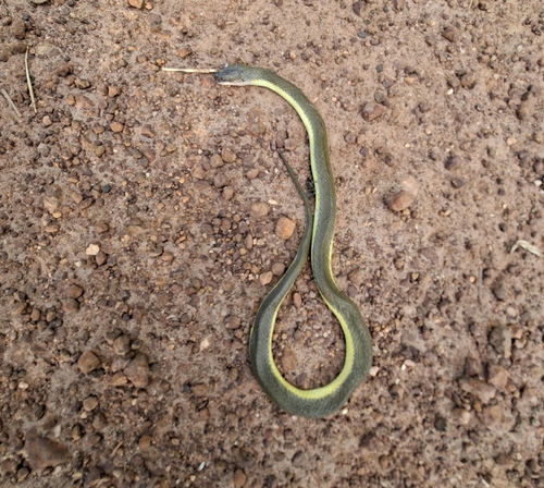
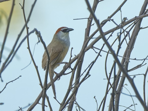
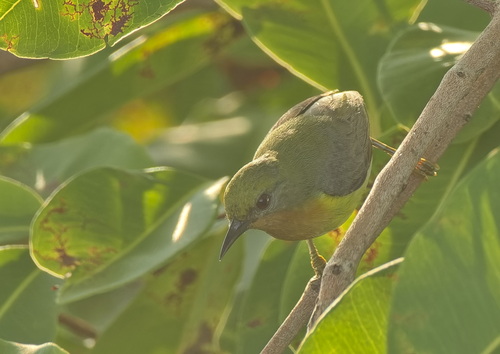
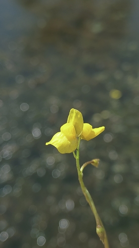
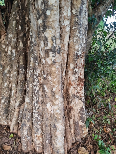
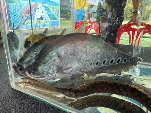
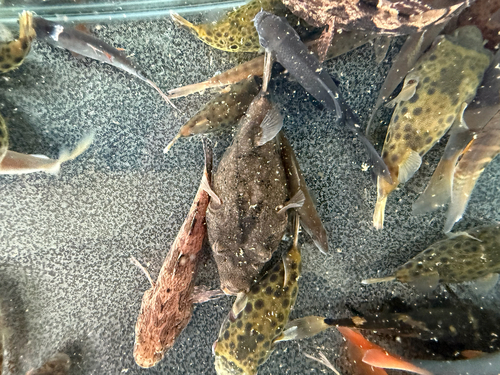
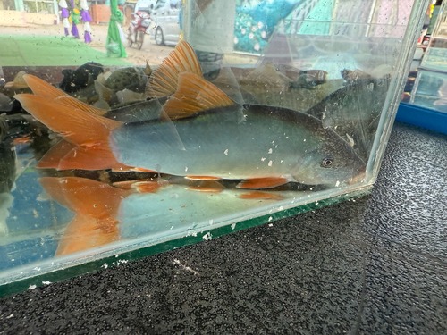
Gallery
Geotagged photos within ~6 miles of Seka, from Wikimedia Commons contributors.


.jpg)

Photos via Wikimedia Commons — see each image page for license & attribution.
Sources
- • Wikimedia Commons
- • Wikidata
- • Open-Meteo Air Quality (CAMS)
- • USGS Earthquake Catalog (global feed)
- • GBIF (Global Biodiversity Information Facility)
- • iNaturalist
- • Open-Meteo / sunrise-sunset.org