Browse / Türkiye / Kayseri / Sarız
Sarız
Kayseritown

Sarız
Total population
9,558
Founded
1946
Demographic figures from TurkStat. Overview below cites Wikipedia and may reference a different year.
City facts
Facts from Wikidata (CC0).
Overview
Sarız, formerly known as Sáros, is a municipality and district of Kayseri Province, Turkey. Its area is 1,173 km2, and its population is 9,282 (2022). The mayor is Ömer Faruk Eroğlu.
Read more on WikipediaHistory & geography
History
The history of the district goes back to ancient times, to 700 BC. Cilicia remained under the rule of Dulkadiroğulları Principality from Byzantine Empire and beylik, and was included in Ottoman Empire in the period of Yavuz Sultan Selim in 1515. The settlement, which was shown as a part of the Hurman district of the Elbistan district in the 16th century Ottoman records, was connected to the Aziziye district, which was created in 1861. registered as a sub-district. During this period, the center of Sariz was called "Koyyeri". In the records of 1910, it is stated that Sarız, which is a township, has 46 villages. The Municipality organization was established on July 30, 1914, upon the request of the Sivas Governor of the time being approved by the Ottoman Ministry of Internal Affairs. In 1927, it was separated from Sivas and connected to Kayseri. In 1946, it was separated from the Pınarbaşı district to which it was affiliated and became an independent district.
Excerpted from the corresponding Wikipedia article (CC BY-SA).
Geography
Coordinates & boundaries from the US Census TIGER/Line shapefiles.
Climate
Air quality
Walkability
Amenities nearby
Wildlife & biodiversity
Earthquake history
Photos
Sights & places nearby
Notable people from here
Nearby places in Kayseri
- Pınarbaşı17.6 mi away · pop. 23,658
- Tomarza37.7 mi away · pop. 22,818
- Akkışla40.1 mi away · pop. 6,429
- Bünyan42.8 mi away · pop. 25,950
- Sarıoğlan50.1 mi away · pop. 13,936
- Talas53.2 mi away · pop. 157,695
- Develi54.9 mi away · pop. 65,322
- Melikgazi56 mi away · pop. 555,671
- Kocasinan56.9 mi away · pop. 391,661
- Kayseri57 mi away · pop. 1,389,680
- Hacılar57.7 mi away · pop. 12,482
- Özvatan60.9 mi away · pop. 3,865
Geography & sun
Elevation, sunrise/sunset and daylight from Open-Meteo. Solar climatology from NASA POWER.
Nearby airports
Public attention
Pageview totals from the Wikimedia Pageviews API.
Books about Sarız
Search results from Open Library.
Recent natural events nearby
Ground air-quality sensors
Recently spotted species
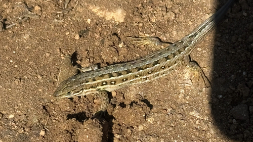
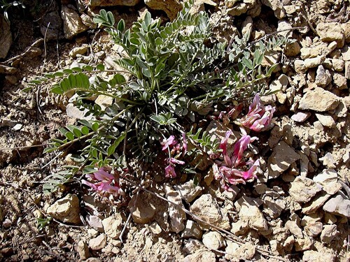
Research-grade observations from iNaturalist (within ~15 mi).
Events
Gallery
Sources
- • Wikipedia
- • Wikidata
- • iNaturalist
- • Open-Meteo / sunrise-sunset.org
- • Wikipedia Pageviews API
- • Open Library
- • Wikidata SPARQL (CC0) — population, area, elevation, inception, head of government, Commons image