Browse / Türkiye / Kayseri / Özvatan
Özvatan
Kayseritown

Özvatan
Total population
3,865
Founded
1990
Demographic figures from TurkStat. Overview below cites Wikipedia and may reference a different year.
City facts
Facts from Wikidata (CC0).
Overview
Özvatan (formerly Çukur and Siricha is a municipality and district of Kayseri Province, Turkey. Its area is 270 km2, and its population is 3,819. It is located in the north east of the province, almost 70 km from Kayseri and 12 km east of Felahiye. It has a harsh climate being too cold in winter and too hot in summer. The mayor is Halit Demir.
Read more on WikipediaHistory & geography
History
The oldest ruins in the district are the Harsa and Zırha Castles, which are located on the side of the river Kızılırmak and are thought to belong to Hittites. It is known that mining and trade were engaged in the region during the Hittites period. Around 430 BC, Zırha Castle was added to the territory of Rome, so it is possible to come across traces of Roman Civilization in the region.
Excerpted from the corresponding Wikipedia article (CC BY-SA).
Geography
Coordinates & boundaries from the US Census TIGER/Line shapefiles.
Climate
Air quality
Walkability
Amenities nearby
Wildlife & biodiversity
Earthquake history
Photos
Sights & places nearby
Notable people from here
Nearby places in Kayseri
- Felahiye7.1 mi away · pop. 5,769
- Sarıoğlan14.5 mi away · pop. 13,936
- Bünyan19.9 mi away · pop. 25,950
- Akkışla26.3 mi away · pop. 6,429
- Kocasinan27.8 mi away · pop. 391,661
- Melikgazi28.6 mi away · pop. 555,671
- Kayseri28.9 mi away · pop. 1,389,680
- Talas29.6 mi away · pop. 157,695
- Hacılar34.6 mi away · pop. 12,482
- Incesu43.4 mi away · pop. 25,614
- Tomarza45.8 mi away · pop. 22,818
- Pınarbaşı45.8 mi away · pop. 23,658
Geography & sun
Elevation, sunrise/sunset and daylight from Open-Meteo. Solar climatology from NASA POWER.
Nearby airports
Public attention
Pageview totals from the Wikimedia Pageviews API.
Books about this place
Recent natural events nearby
Ground air-quality sensors
Recently spotted species
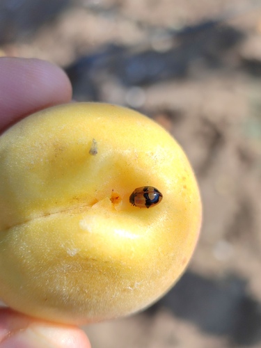
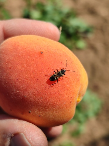
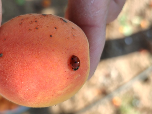
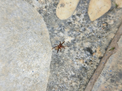
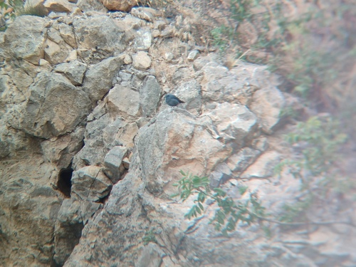
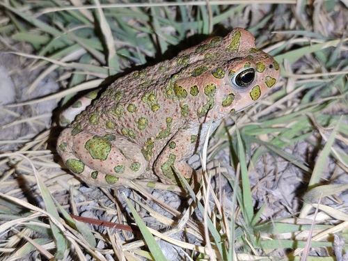
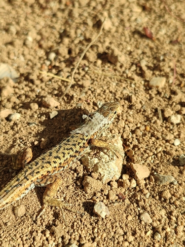
Research-grade observations from iNaturalist (within ~15 mi).
Events
Gallery
Sources
- • Wikipedia
- • Wikidata
- • iNaturalist
- • Open-Meteo / sunrise-sunset.org
- • Wikipedia Pageviews API
- • Wikidata SPARQL (CC0) — population, area, elevation, inception, head of government, Commons image