Browse / Türkiye / Kayseri / Incesu
Incesu
Kayseritown
No image yet
Total population
25,614
Elevation1084 m
Coordinates38.62°, 35.18°
Demographic figures from TurkStat. Overview below cites Wikipedia and may reference a different year.
Loading additional data from public sources…0 / 11
CensusWikipediaWeatherPlacesPeopleEnvironmentHealth & SchoolsRelatedGeography & CultureLive MonitoringEvents & Gallery
0% completeCity facts
Overview
İncesu may refer to:
History & geography
Geography
Latitude
38.6234
Longitude
35.1838
Water area
—
Coordinates & boundaries from the US Census TIGER/Line shapefiles.
Climate
Air quality
Walkability
Amenities nearby
Wildlife & biodiversity
Earthquake history
Photos
Sights & places nearby
Notable people from here

Sabahattin Çakmakoğlu
Turkish statesperson (1930–2024)
H
Hasan Basri Göktan
Turkish economist (born 1951)
H
Hasan Ferit Perker
Turkish statesperson (1890–1983)
N
Necati Özgen
Turkish military officer (1937–2021)
People born within ~10 km, from Wikidata (CC0). Click any name for their Wikipedia article.
Nearby places in Kayseri
- Hacılar14.4 mi away · pop. 12,482
- Kayseri17.7 mi away · pop. 1,389,680
- Kocasinan18.5 mi away · pop. 391,661
- Melikgazi18.6 mi away · pop. 555,671
- Yeşilhisar19.4 mi away · pop. 15,854
- Talas20.3 mi away · pop. 157,695
- Develi23.2 mi away · pop. 65,322
- Tomarza35.5 mi away · pop. 22,818
- Yahyalı37.3 mi away · pop. 36,331
- Felahiye38.3 mi away · pop. 5,769
- Bünyan39.4 mi away · pop. 25,950
- Özvatan43.4 mi away · pop. 3,865
Geography & sun
Elevation
3,556 ft (1084 m)
Avg solar (kWh/m²/day)
4.88
Annual solar (kWh/m²)
1,780
Elevation, sunrise/sunset and daylight from Open-Meteo. Solar climatology from NASA POWER.
Nearby airports
Public attention
Wikipedia views (last 30 days)
12
Avg daily Wikipedia views
1
Attention level
Obscure
Pageview totals from the Wikimedia Pageviews API.
Books about Incesu
I. Ulusal İncesu Sempozyumu
Ulusal İncesu Sempozyumu (1st 2010 İncesu, Kayseri İli,Turkey) · 2011
İncesu
Hasan Tasacı · 2014
Osmanlı belgelerinde Ankara belediye ve imar faaliyetleri
Nuran Koltuk · 2016
Search results from Open Library.
Recent natural events nearby
Ground air-quality sensors
Recently spotted species
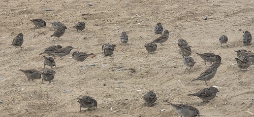
House Sparrow
Passer domesticus
Seen 2026-09-18
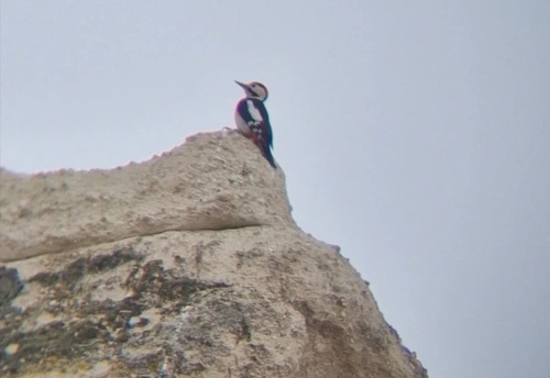
Syrian Woodpecker
Dendrocopos syriacus
Seen 2026-08-19
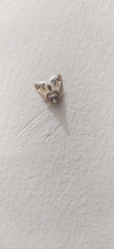
Meal moth
Pyralis farinalis
Seen 2026-06-29
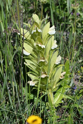
hairy bear's-breeches
Acanthus hirsutus
Seen 2026-06-28
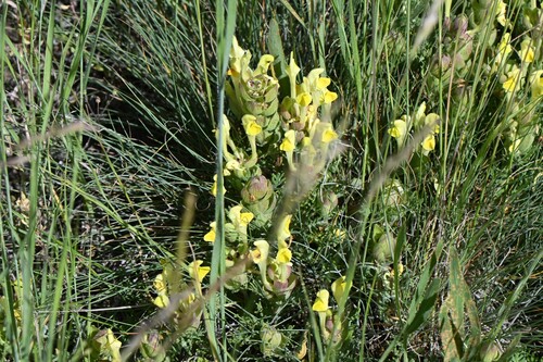
yellow-flowered skull cap
Scutellaria orientalis
Seen 2026-06-28
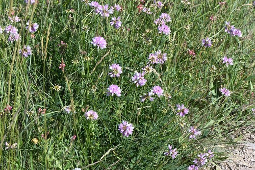
purple crownvetch
Securigera varia
Seen 2026-06-28
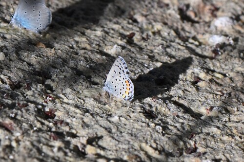
Eastern Baton Blue
Pseudophilotes vicrama
Seen 2026-06-28
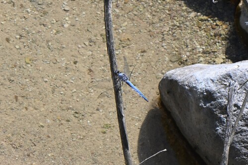
Southern Skimmer
Orthetrum brunneum
Seen 2026-06-28
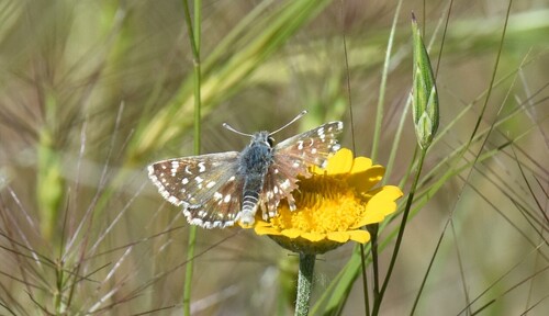
Orbed red-underwing skipper
Spialia orbifer
Seen 2026-06-28
Research-grade observations from iNaturalist (within ~15 mi).
Events
Gallery
Sources
- • Wikipedia
- • Wikidata
- • iNaturalist
- • Open-Elevation
- • Open-Meteo / sunrise-sunset.org
- • Wikipedia Pageviews API
- • Open Library
- • Wikidata SPARQL (CC0) — population, area, elevation, inception, head of government, Commons image