Browse / Thailand / Sukhothai / Thung Luang
Thung Luang
Sukhothaitown
Air quality index
Demographic figures from National Statistical Office of Thailand. Overview below cites Wikipedia and may reference a different year.
City facts
Overview
Within Sukhothai, Thailand, Thung Luang stands as a town. Geographically it lies in the northern hemisphere at a tropical latitude (16.877°, 99.797°). Up-to-date population figures for this locality are not available in the open datasets we monitor. Solar-resource estimates put the area at about 1,832 kWh/m² of solar irradiance per year with sunshine for roughly 72% of daylight hours. The latitude suggests warm temperatures throughout the year with pronounced wet and dry seasons. Read on for charts and tables covering demographics, climate, hazards, schools, wildlife and other open-data indicators for Thung Luang.
Summary composed automatically from structured open data on this page. See our Terms for details.
History & geography
Geography
Coordinates & boundaries from the US Census TIGER/Line shapefiles.
Climate
Air quality
Current readings from Open-Meteo Air Quality API (Copernicus CAMS European reanalysis).
Walkability
Amenities nearby
Wildlife & biodiversity
Most-observed species
- Great MynaAcridotheres grandis Moore, 1858 · Aves200
- Large-billed CrowCorvus macrorhynchos Wagler, 1827 · Aves185
- Black DrongoDicrurus macrocercus Vieillot, 1817 · Aves185
- Zebra DoveGeopelia striata (Linnaeus, 1766) · Aves184
- Red Collared-DoveStreptopelia tranquebarica (Hermann, 1804) · Aves168
- Little Egret/Western Reef-HeronEgretta garzetta (Linnaeus, 1766) · Aves165
- Red-wattled LapwingVanellus indicus (Boddaert, 1783) · Aves165
- Ayeyarwady BulbulPycnonotus blanfordi Jerdon, 1862 · Aves164
Citizen-science & research observations from the Global Biodiversity Information Facility (GBIF).
Earthquake history
Most recent
- M 4.1 — 2023-06-2824 km NNE of Khanu Woralaksaburi, Thailand
Events from the USGS Earthquake Catalog (global) (FDSN Event Web Service).
Photos
Sights & places nearby
Notable people from here
Nearby places in Sukhothai
- Uşak4449.5 mi away · pop. 374,405
- Nová Lhota4995.5 mi away · pop. 774
- Suchov4996.5 mi away · pop. 582
- Blatnička4997.9 mi away · pop. 449
- Javorník4998.2 mi away · pop. 716
- Louka4999.8 mi away · pop. 1,045
- Malá Vrbka5001.5 mi away · pop. 213
- Tasov5002.6 mi away · pop. 554
- Milokošť5003.7 mi away · pop. 853
- Kněždub5004.3 mi away · pop. 1,097
- Zarazice5005.3 mi away · pop. 993
- Tvarožná Lhota5006 mi away · pop. 851
Geography & sun
Elevation, sunrise/sunset and daylight from Open-Meteo. Solar climatology from NASA POWER.
Nearby airports
Public attention
Books about Thung Luang
Search results from Open Library.
Recent natural events nearby
Ground air-quality sensors
Recently spotted species
Research-grade observations from iNaturalist (within ~15 mi).
Events
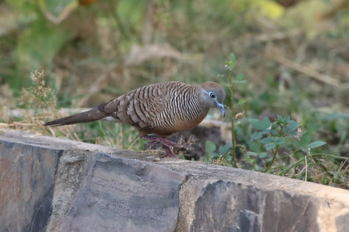
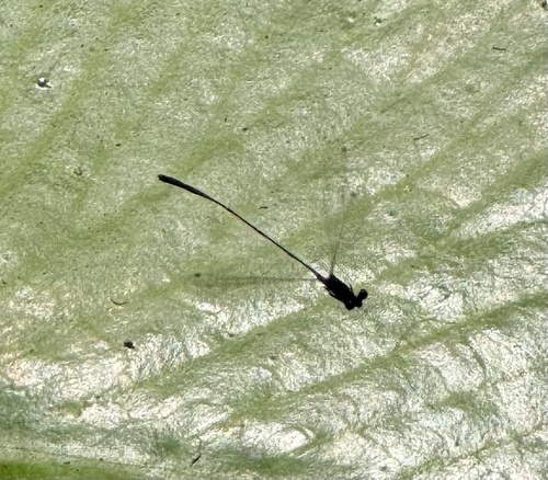
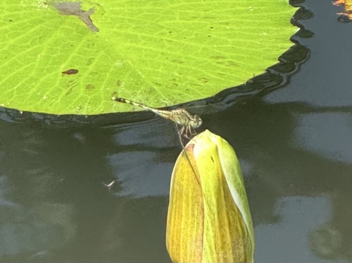
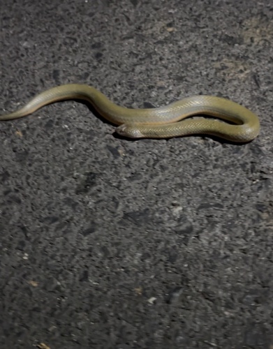
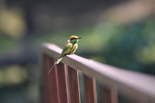
Gallery
Geotagged photos within ~6 miles of Thung Luang, from Wikimedia Commons contributors.


Photos via Wikimedia Commons — see each image page for license & attribution.
Sources
- • Wikimedia Commons
- • Wikidata
- • Open-Meteo Air Quality (CAMS)
- • USGS Earthquake Catalog (global feed)
- • GBIF (Global Biodiversity Information Facility)
- • iNaturalist
- • Open-Meteo / sunrise-sunset.org
- • Open Library