Browse / United States / Tennessee / Byrdstown
Byrdstown
Tennesseetown

Byrdstown
Total population
1,141
Median home value
$163,400
Bachelor's+
Median income
$27,000
Founded
1879
Demographic figures from US Census Bureau · ACS 5-year estimates. Overview below cites Wikipedia and may reference a different year.
City facts
Facts from Wikidata (CC0).
Overview
Byrdstown is a town in Pickett County, Tennessee, United States. The population was 798 at the 2020 census. It is the county seat of Pickett County.
Read more on WikipediaHistory & geography
History
Byrdstown was established in 1879 as a county seat for the newly formed Pickett County. The town, where several families already lived, was named for Colonel Robert K. Byrd, a state senator whose district included the new county. Byrdstown was officially incorporated in 1917. Former Secretary of State Cordell Hull (1871–1955)— who played a pivotal role in the creation of the United Nations— was born just west of Byrdstown. The Pickett County Courthouse, built in 1935, and the Cordell Hull Birthplace are both listed on the National Register of Historic Places. Other historical sites include the Amonett House at the junction of TN-325 and TN-111.
Geography
Byrdstown is located at (36.572585, -85.137088). The town is situated in a hilly area on the Highland Rim, a few miles south of the Kentucky state line. Byrdstown lies south of the Wolf River, north of the Obey River, and east of Dale Hollow Lake, where the two rivers converge. Tennessee State Route 325 traverses Byrdstown from west to east, mostly following West Main Street and East Main Street. This highway connects Byrdstown with the Dale Hollow Lake and Cordell Hull Birthplace State Park areas to the west, and the rural parts of central Pickett County to the east. Tennessee State Route 111, which intersects SR 325 in western Byrdstown, connects the town with Livingston to the southwest, and Static at the state line to the north. At Static, the highway terminates at an intersection with U.S. Route 127, with the latter continuing northward to Albany, Kentucky. According to the United States Census Bureau, the town has a total area of , all of it land.
Excerpted from the corresponding Wikipedia article (CC BY-SA).
Demographics & economy
Race & ethnicity
Source: US Census Bureau — American Community Survey, 5-year estimates.
Geography
Coordinates & boundaries from the US Census TIGER/Line shapefiles.
Climate
Current forecast
Forecast for Byrdstown, TN from NOAA NWS API.
Air quality
Industrial & pollution facilities
Natural hazard risk
Health (adults)
Age-adjusted prevalence estimates from CDC PLACES (latest release).
Walkability
Amenities nearby
Wildlife & biodiversity
Schools
Largest nearby schools
- Pickett County ElementaryElementary · Byrdstown · 445 students · 13.5:1 ratio
- Pickett Co High SchoolHigh · Byrdstown · 199 students · 15.3:1 ratio
Public K–12 schools within ~10 mi from Urban Institute Education Data Portal (NCES Common Core of Data, 2022).
Earthquake history
Photos
Sights & places nearby
Notable people from here


People born within ~10 km, from Wikidata (CC0). Click any name for their Wikipedia article.
Nearby places in Tennessee
Geography & sun
Elevation, sunrise/sunset and daylight from Open-Meteo. Solar climatology from NASA POWER.
Nearby airports
Public attention
Pageview totals from the Wikimedia Pageviews API.
Books about Byrdstown
Search results from Open Library.
Recent natural events nearby
- Hurricane IsaiasSevere Storms · 2026-10-11 · 89 mi
Wildfires, storms and other events from NASA EONET (last 12 months, within 250 mi).
Ground air-quality sensors
Recently spotted species
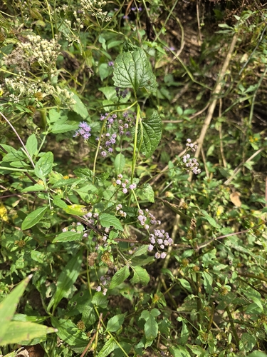

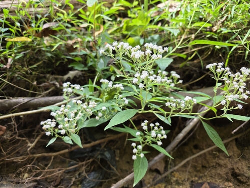
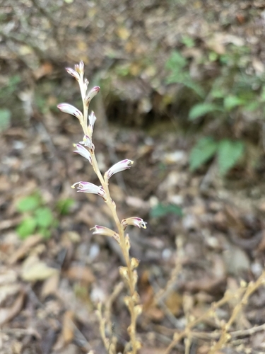
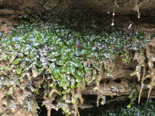
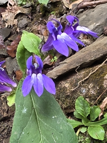
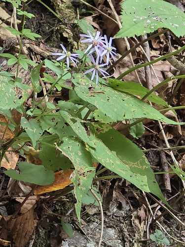

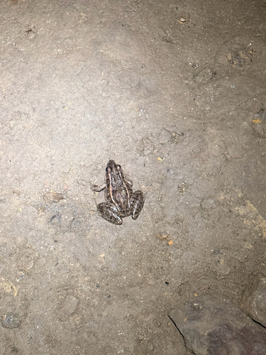
Research-grade observations from iNaturalist (within ~15 mi).
Nearest stream gauge
Live readings from USGS NWIS · measured 2026-10-13 10:00 UTC.
Events
Gallery
Sources
- • Wikipedia
- • US Census Bureau (ACS 5-year estimates)
- • NOAA National Weather Service
- • Wikidata
- • USGS NWIS (water data)
- • NCES via Urban Institute Education Data Portal
- • iNaturalist
- • CDC PLACES
- • Open-Meteo / sunrise-sunset.org
- • Wikipedia Pageviews API
- • Open Library
- • NASA EONET