Browse / United States / Tennessee / Memphis
Memphis
Tennesseecity

Memphis
Total population
610,936
Median home value
$209,800
Bachelor's+
Median income
$52,679
Founded
1819
Demographic figures from US Census Bureau · ACS 5-year estimates. Overview below cites Wikipedia and may reference a different year.
- Heat Advisory · ModerateHeat Advisory issued September 17 at 11:37AM CDT until September 19 at 8:00PM CDT by NWS Memphis TN
- Air Quality Alert · UnknownAir Quality Alert issued September 17 at 4:05AM CDT by NWS Memphis TN
- Air Quality Alert · UnknownAir Quality Alert issued September 16 at 3:29PM CDT by NWS Memphis TN
Source: NOAA National Weather Service.
City facts
Sister cities
Facts from Wikidata (CC0).
Overview
Memphis is a city in Shelby County, Tennessee, United States, and its county seat. Situated along the Mississippi River, it had a population of 633,104 at the 2020 census, making it the second-most populous city in Tennessee, the fifth-most populous in the Southeast, and the 29th-most populous in the US. While being the most populous single municipality on the Mississippi River, Memphis anchors the third largest metropolitan area by population behind only the Twin Cities and St. Louis. Metropolitan Memphis includes parts of Arkansas and Mississippi, the 45th-most populous metropolitan area in the U.S. with 1.34 million residents.
Read more on WikipediaHistory & geography
History
Occupying a substantial bluff rising from the Mississippi River, the site of Memphis has been a natural location for human settlement by varying indigenous cultures over thousands of years. In the first millennium A.D. people of the Mississippian culture were prominent; the culture influenced a network of communities throughout the Mississippi River Valley and its tributaries. The hierarchical societies built complexes with large earthwork ceremonial and burial mounds as expressions of their sophisticated culture. The Chickasaw people, believed to be their descendants, later inhabited this site and a large territory in the Southeast. Spanish explorer Hernando de Soto encountered the historic Chickasaw in this area in the 16th century, followed in the 17th century by French explorers led by René-Robert Cavelier, Sieur de La Salle,. J. D. L. Holmes, writing in Hudson's Four Centuries of Southern Indians (2007), notes that this site was a third strategic point in the late 18th century through which European powers could control United States encroachment beyond the Appalachians and their interference with Indian matters—after Fort Nogales (present-day Vicksburg) and Fort Confederación (present-day Epes, Alabama): "Chickasaw Bluffs, located on the Mississippi River at the present-day location of Memphis. Spain and the United States vied for control of this site, which was a favorite of the Chickasaws." In 1795 the Spanish Governor-General of Louisiana, Francisco Luis Héctor de Carondelet, sent his lieutenant governor, Manuel Gayoso de Lemos, to negotiate and secure consent from the local Chickasaw so that a Spanish fort could be erected on the bluff; Fort San Fernando De Las Barrancas was the result. Holmes notes that consent was reached despite opposition from…
Geography
According to the United States Census Bureau, the city has a total area of , of which is land and , or 2.76%, is water. Downtown Memphis rises from a bluff along the Mississippi River. The city and metro area spread out through suburbanization, and encompass southwest Tennessee, northern Mississippi, and eastern Arkansas. Several large parks were founded in the city in the early 20th century, notably Overton Park in Midtown and the Shelby Farms. The city is a national transportation hub and Mississippi River crossing for Interstate 40, (east-west), Interstate 55 (north-south), barge traffic, Memphis International Airport (FedEx's "SuperHub" facility) and numerous freight railroads that serve the city. The Memphis Riverfront stretches along the Mississippi River from the Meeman-Shelby Forest State Park in the north to the T. O. Fuller State Park in the south. The River Walk is a park system that connects downtown Memphis from Mississippi River Greenbelt Park in the north to Tom Lee Park in the south. In recent years, the city has decided to deannex some of its territory. It has gone through a three-phase process to deannex five areas within the city limits, returning them to unincorporated Shelby County. The first phase of deannexation occurred on January 1, 2020, when the Eads and River Bottoms areas returned to county jurisdiction. As a result, the Shelby County Sheriff is responsible for patrolling these former parts of Memphis. The first phase of the deannexation process reduced the city's size by 5% and its population by 0.03%. The Byhalia Pipeline proposed by Plains All American Pipeline and Valero Energy, and set to begin construction in 2020, was the subject of massive public and legal opposition to the project over concerns regarding possible…
Excerpted from the corresponding Wikipedia article (CC BY-SA).
Demographics & economy
Race & ethnicity
Source: US Census Bureau — American Community Survey, 5-year estimates.
Geography
Coordinates & boundaries from the US Census TIGER/Line shapefiles.
Climate
Current forecast
Forecast for Memphis, TN from NOAA NWS API.
Air quality
Industrial & pollution facilities
Natural hazard risk
Health (adults)
Age-adjusted prevalence estimates from CDC PLACES (latest release).
Walkability
Amenities nearby
Wildlife & biodiversity
Most-observed species
- Northern CardinalCardinalis cardinalis (Linnaeus, 1758) · Aves23,900
- Carolina WrenThryothorus ludovicianus (Latham, 1790) · Aves16,723
- Blue JayCyanocitta cristata (Linnaeus, 1758) · Aves16,626
- American RobinTurdus migratorius Linnaeus, 1766 · Aves16,590
- Mourning DoveZenaida macroura (Linnaeus, 1758) · Aves14,382
- Carolina ChickadeePoecile carolinensis (Audubon, 1834) · Aves13,939
- Northern MockingbirdMimus polyglottos (Linnaeus, 1758) · Aves13,725
- Downy WoodpeckerDryobates pubescens (Linnaeus, 1766) · Aves13,337
Citizen-science & research observations from the Global Biodiversity Information Facility (GBIF).
Schools
Largest nearby schools
- Bartlett High SchoolHigh · Bartlett · 2,851 students · 18.5:1 ratio
- White Station HighHigh · Memphis · 1,840 students · 17:1 ratio
- Germantown HighHigh · Germantown · 1,806 students · 16.7:1 ratio
- Whitehaven HighHigh · Memphis · 1,587 students · 16.9:1 ratio
- Dexter SchoolElementary · Cordova · 1,513 students · 18.9:1 ratio
- Overton HighHigh · Memphis · 1,422 students · 14.4:1 ratio
- Snowden Elementary/MiddleElementary · Memphis · 1,373 students · 16.7:1 ratio
- Central HighHigh · Memphis · 1,312 students · 21.2:1 ratio
Public K–12 schools within ~10 mi from Urban Institute Education Data Portal (NCES Common Core of Data, 2022).
Earthquake history
Most recent
- M 3.06 — 2025-08-013 km SW of Blytheville, Arkansas
- M 2.56 — 2025-08-013 km SW of Blytheville, Arkansas
- M 2.75 — 2024-11-168 km W of Henning, Tennessee
- M 2.71 — 2024-05-307 km NNE of Blytheville, Arkansas
- M 2.78 — 2024-04-175 km W of Dell, Arkansas
- M 3.8 — 2023-12-276 km NE of Etowah, Arkansas
Events from the USGS Earthquake Catalog (global) (FDSN Event Web Service).
Photos
Sights & places nearby
Notable people from here
Nearby places in Tennessee
Geography & sun
Elevation, sunrise/sunset and daylight from Open-Meteo. Solar climatology from NASA POWER.
Nearby airports
Public attention
Pageview totals from the Wikimedia Pageviews API.
Books about Memphis

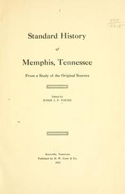

Search results from Open Library.
Recent natural events nearby
- Wildfire Bunker Fire, Calhoun, ArkansasWildfires · 2026-09-15 · 183 mi
- Wildfire Bunker Fire, Calhoun, ArkansasWildfires · 2026-09-14 · 183 mi
- Wildfire Round Prarie, Morehouse, LouisianaWildfires · 2026-09-20 · 194 mi
- Wildfire Pine Tree Rd, Union, ArkansasWildfires · 2026-08-20 · 197 mi
Wildfires, storms and other events from NASA EONET (last 12 months, within 250 mi).
Ground air-quality sensors
Recently spotted species
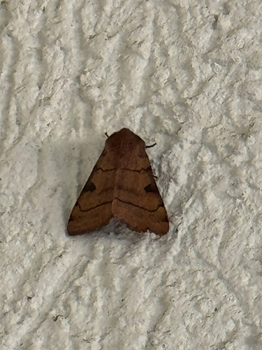


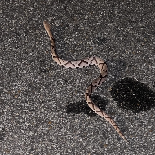

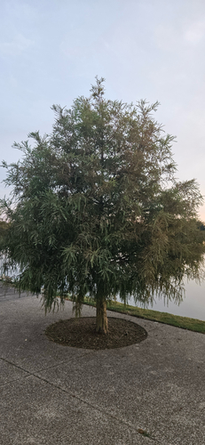

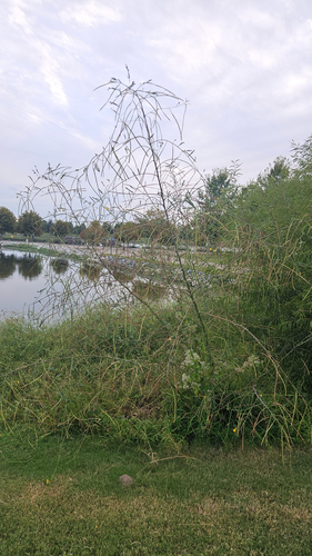
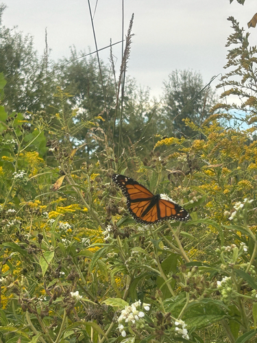
Research-grade observations from iNaturalist (within ~15 mi).
Nearest stream gauge
Events
Notable, recurring, and historical events associated with Memphis, sourced from Wikidata.
- Jan 1, 1970
- Sep 1, 1969
Source: Wikidata (CC0).
Gallery
Sources
- • Wikipedia
- • US Census Bureau (ACS 5-year estimates)
- • NOAA National Weather Service
- • Wikidata
- • USGS Earthquake Catalog (global feed)
- • NCES via Urban Institute Education Data Portal
- • GBIF (Global Biodiversity Information Facility)
- • iNaturalist
- • CDC PLACES
- • Open-Meteo / sunrise-sunset.org
- • Wikipedia Pageviews API
- • Open Library
- • NASA EONET