Browse / Türkiye / Elazığ / Ağın
Ağın
Elazığtown
Total population
2,608
Demographic figures from TurkStat. Overview below cites Wikipedia and may reference a different year.
City facts
Facts from Wikidata (CC0).
Overview
Ağın is a town of Elazığ Province of Turkey. It is the seat of Ağın District. Its population is 1,818 (2021). The mayor is Yılmaz Serttaş from the Nationalist Movement Party.
Read more on WikipediaHistory & geography
History
The city of Ağın was initially founded by Armenians who had migrated there from Iran. In 1896, the city was evenly divided between Muslims and Armenians. The city was recognized for its wealth and had previously escaped the 1895-1896 Hamidian massacres through a ransom payment by the Armenians of 1500 Turkish gold pounds. On September 15, 1896, three weeks after the raid of the Ottoman Bank by Armenian Dashnaks as a response to the Hamidian massacres, Turkish authorities organized a new massacre in the city of Ağın. Ottoman troops killed "upwards of 2000 Armenians" including "many women and children" according to a report by the French Ambassador. Of the 1500 houses located in the Armenian quarter of Ağın, 980 were pillaged and burned. According to a report by the British Consul at Harput, the pretext used to attack the city's Armenian quarter was that the Armenians of the said city were "set to cause trouble". The same report by the Consul said that there was no revolutionary movement whatsoever and no powder magazine exploded during the massacre. A few pistols and revolvers were found in the ruins of the burnt houses.
Excerpted from the corresponding Wikipedia article (CC BY-SA).
Geography
Coordinates & boundaries from the US Census TIGER/Line shapefiles.
Climate
Air quality
Walkability
Amenities nearby
Wildlife & biodiversity
Earthquake history
Photos
Sights & places nearby
Notable people from here
People born within ~10 km, from Wikidata (CC0). Click any name for their Wikipedia article.
Nearby places in Elazığ
- Baskil26.7 mi away · pop. 12,603
- Elazığ33.1 mi away · pop. 578,789
- Kovancılar63.9 mi away · pop. 39,305
- Maden64.1 mi away · pop. 11,071
- Koprivshtitsa792 mi away
- Anton798.5 mi away
- Pirdop801.8 mi away · pop. 7,439
- Zlatitsa804 mi away
- Neykyovets804.7 mi away
- Karlievo805.2 mi away
- Tsarkvishte805.7 mi away
- Golak806.1 mi away
Geography & sun
Elevation, sunrise/sunset and daylight from Open-Meteo. Solar climatology from NASA POWER.
Nearby airports
Public attention
Pageview totals from the Wikimedia Pageviews API.
Books about this place
Recent natural events nearby
Ground air-quality sensors
Recently spotted species
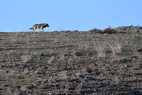
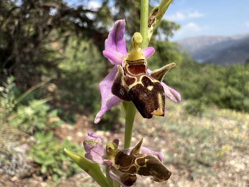
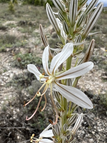
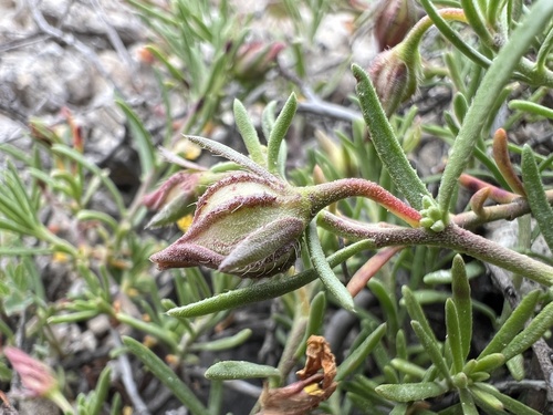
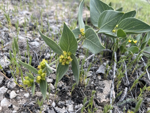
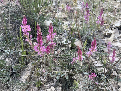
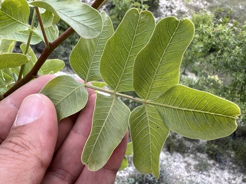
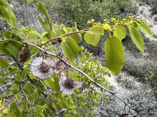
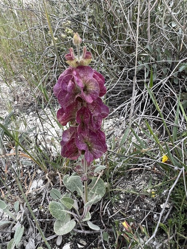
Research-grade observations from iNaturalist (within ~15 mi).
Events
Gallery
Sources
- • Wikipedia
- • Wikidata
- • iNaturalist
- • Open-Elevation
- • Open-Meteo / sunrise-sunset.org
- • Wikipedia Pageviews API
- • Wikidata SPARQL (CC0) — population, area, elevation, inception, head of government, Commons image