Browse / Türkiye / Bursa / Bursa
Bursa
Bursacity

Bursa
Total population
3,238,618
Demographic figures from TurkStat. Overview below cites Wikipedia and may reference a different year.
City facts
Sister cities
Facts from Wikidata (CC0).
Overview
Bursa is a city in northwestern Turkey and the administrative center of Bursa Province. It is the fourth-most populous city in Turkey and second-most populous in the Marmara Region after Istanbul. According to 2025 end of year estimate, the province has a population of 3,263,011 while Bursa city has a population of around 2.5 million. Bursa is one of the centers of Turkey's automotive production, becoming an industrial center of the country. The city provides various places of interest.
Read more on WikipediaHistory & geography
History
The earliest known human settlement near Bursa's current location was at the Ilıpınar Mound in . It was followed by the Bithynian city of Prusa, which was built by King Prusias I of Bithynia. The city was also referred to as Prusa ad Olympum after its location at the foot of the Bithynian Olympus (present day Mount Uludağ). One of the known characteristics of Prusa at that time was its hot springs that's dubbed as the "royal waters". In 75/74 BC, Nicomedes IV, the last king of Bithynia, bequeated his entire kingdom to the Roman Republic in his last testament before he died. According to a letter that's written to Roman Emperor Trajan () by Roman author Pliny the Younger, then the Imperial Governor of Bithynia and Pontus, constructions of baths took place in Prusa after a permit by the reigning emperor. An early Roman artifact was found in Bursa. It was composed of woman's silver toiletry articles. It is currently reserved in the British Museum since 1913. Encyclopædia Britannica suggests that, when Prusa was under Byzantine rule, the city prospered after the Byzantine Emperor Justinian I built a palace there. Prusa then became a garrison city in 562, where imperial guards were stationed. Already by the mid-6th century, Prusa was known as a famous silk textile manufacturing centre. Bursa became the capital city of the early Ottoman Empire following its capture from the Byzantines in 1326. During the Ottoman rule, the city witnessed a considerable amount of urban growth, such as the building of hospitals, caravanserais (including the Koza Han), and madrasas. The first official Ottoman mint was established in the city. After conquering Adrianople (later Edirne) in East Thrace, the Ottomans turned it into the new capital city in the 1360s. No longer a capital city,…
Geography
The area covered by Bursa corresponds to 1.41% of Turkey's land area, which makes the city 27th in the country in terms of land area. Bursa stands on the northwestern slopes of Mount Uludağ (known as the Mysian Olympus in classical antiquity), on the banks of the Nilüfer River, in the southern Marmara Region. It is the capital city of Bursa Province, which borders the Sea of Marmara and Yalova to the north; Kocaeli and Sakarya to the northeast; Bilecik to the east; and Kütahya and Balıkesir to the south. Bursa has a Mediterranean climate (Csa/Cs) under the Köppen and Trewartha classifications. The city has hot, dry summers that last from June until September. Winters are cool and damp, also containing the most rainfall. There can be snow on the ground which will last for a week or two. Air pollution is a chronic problem in Bursa.
Excerpted from the corresponding Wikipedia article (CC BY-SA).
Geography
Coordinates & boundaries from the US Census TIGER/Line shapefiles.
Climate
Air quality
Walkability
Amenities nearby
Wildlife & biodiversity
Most-observed species
- Eurasian MagpiePica pica (Linnaeus, 1758) · Aves476
- Eurasian BlackbirdTurdus merula Linnaeus, 1758 · Aves420
- Common ChaffinchFringilla coelebs Linnaeus, 1758 · Aves402
- Eurasian JayGarrulus glandarius (Linnaeus, 1758) · Aves401
- Eurasian Collared-DoveStreptopelia decaocto (Frivaldszky, 1838) · Aves393
- Hooded CrowCorvus cornix Linnaeus, 1758 · Aves391
- House SparrowPasser domesticus (Linnaeus, 1758) · Aves380
- Great TitParus major Linnaeus, 1758 · Aves355
Citizen-science & research observations from the Global Biodiversity Information Facility (GBIF).
Earthquake history
Most recent
- M 4.6 — 2025-09-2822 km W of Emet, Turkey
- M 3.8 — 2025-07-0530 km SSW of Kumburgaz, Turkey
- M 4.2 — 2025-07-024 km NE of Gemlik, Turkey
- M 4 — 2025-07-013 km S of Umurbey, Turkey
- M 4.3 — 2025-04-2519 km SSW of Kumburgaz, Turkey
- M 4.4 — 2025-04-2529 km N of Simav, Turkey
Events from the USGS Earthquake Catalog (global) (FDSN Event Web Service).
Photos
Sights & places nearby
Notable people from here


People born within ~10 km, from Wikidata (CC0). Click any name for their Wikipedia article.
Nearby places in Bursa
- Osmangazi1.1 mi away · pop. 885,441
- Gemlik17.7 mi away · pop. 91,070
- Jalt Kamak235.3 mi away
- Karadjalovo235.7 mi away
- Byala Reka236.7 mi away
- Dobri Dol237.2 mi away
- Bryagovo237.7 mi away
- Parvomay239.8 mi away · pop. 13,984
- Krushevo241 mi away
- Poroyna241.4 mi away
- Sini Vrah242.3 mi away
- Dalbok Izvor242.4 mi away
Geography & sun
Elevation, sunrise/sunset and daylight from Open-Meteo. Solar climatology from NASA POWER.
Nearby airports
Public attention
Pageview totals from the Wikimedia Pageviews API.
Books about Bursa


Search results from Open Library.
Recent natural events nearby
Ground air-quality sensors
Recently spotted species
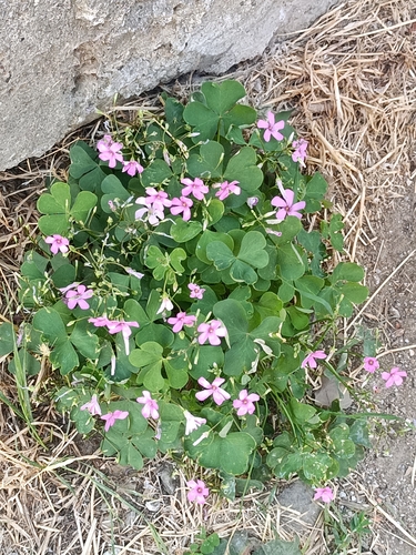
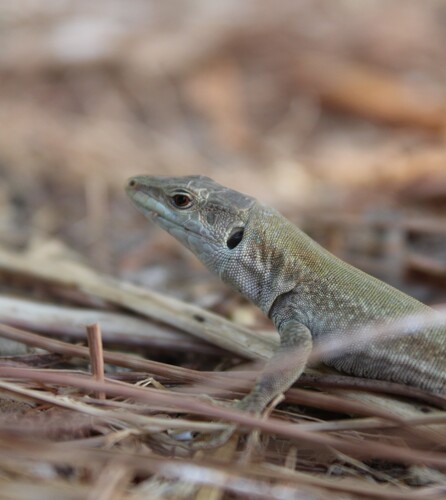
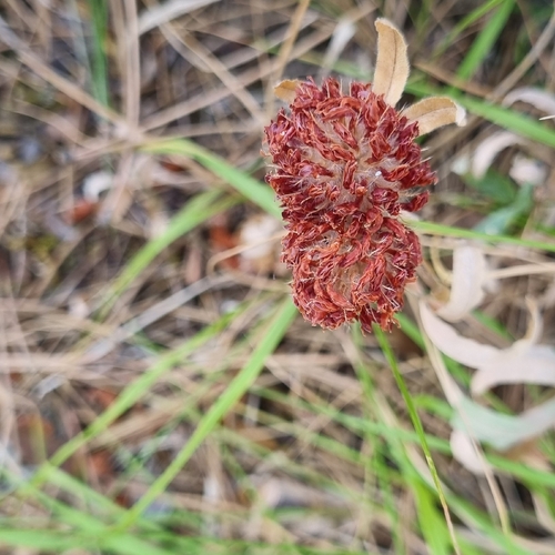
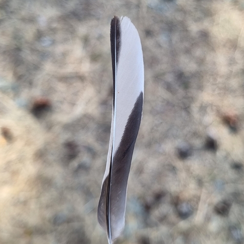
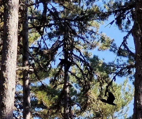
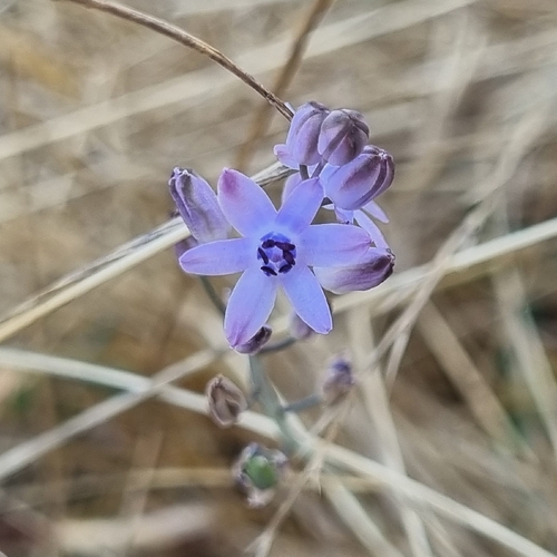
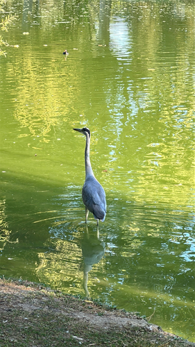
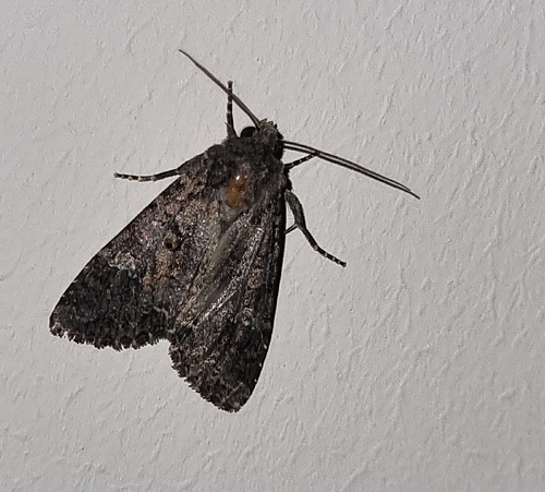
Research-grade observations from iNaturalist (within ~15 mi).
Events
Notable, recurring, and historical events associated with Bursa, sourced from Wikidata.
- Q140278275Aug 30, 2025meeting
- Turkvision Song Contest 2022Jan 1, 2022recurring event edition
- Q28820221Feb 6, 2017sporting event
- Q25380640Feb 1, 2016sporting event
Source: Wikidata (CC0).
Gallery
Sources
- • Wikipedia
- • Wikidata
- • USGS Earthquake Catalog (global feed)
- • GBIF (Global Biodiversity Information Facility)
- • iNaturalist
- • Open-Meteo / sunrise-sunset.org
- • Wikipedia Pageviews API
- • Open Library
- • Wikidata SPARQL (CC0) — population, area, elevation, inception, head of government, Commons image