Browse / Türkiye / Giresun / Çamoluk
Çamoluk
Giresuntown

Çamoluk
Total population
5,767
Demographic figures from TurkStat. Overview below cites Wikipedia and may reference a different year.
City facts
Facts from Wikidata (CC0).
Overview
Çamoluk is a town in Giresun Province in the Black Sea region of Turkey. It is the seat of Çamoluk District. Its population is 2,985 (2022).
Read more on WikipediaHistory & geography
History
The valley of the Kelkit has been a passage to the Black Sea coast for thousands of years, was once part of the Roman Empire and from 381 the succeeding Byzantine Empire. Arab invaders occupied the valley in 778 followed by early settlements of the Oghuz Turks. Fighting between Turks and Byzantines continued in this corner of Anatolia for centuries, beyond the arrival of the Seljuk Turkish armies of Toğrül Bey in 1058, and the foundation of the Empire of Trebizond of which Çamoluk was part. The castle was built by the Trapezuntines in 1204 to defend the valley from further waves of Seljuk invaders. In 1464 Sultan Mehmet II of the Ottoman Empire came down the valley in his campaign against Şebinkarahisar and Çamoluk was brought within the Empire.
Excerpted from the corresponding Wikipedia article (CC BY-SA).
Geography
Coordinates & boundaries from the US Census TIGER/Line shapefiles.
Climate
Air quality
Walkability
Amenities nearby
Wildlife & biodiversity
Most-observed species
- Neolysandra dianaNeolysandra diana · Insecta6
- corn buntingEmberiza calandra Linnaeus, 1758 · Aves5
- European StonechatSaxicola rubicola (Linnaeus, 1766) · Aves4
- Kretania modicaKretania modica · Insecta4
- Pararge petropolitana (Fabricius, 1787)Pararge petropolitana (Fabricius, 1787) · Insecta3
- Long-legged BuzzardButeo rufinus (Cretzschmar, 1829) · Aves3
- Hooded CrowCorvus cornix Linnaeus, 1758 · Aves3
- Common ChaffinchFringilla coelebs Linnaeus, 1758 · Aves3
Citizen-science & research observations from the Global Biodiversity Information Facility (GBIF).
Earthquake history
Most recent
- M 4.2 — 2026-02-1023 km NE of İliç, Turkey
- M 4.7 — 2026-02-0619 km S of Refahiye, Turkey
- M 4.1 — 2025-04-0920 km N of Erzincan, Turkey
- M 4.3 — 2024-09-1329 km S of Şiran, Turkey
- M 4.2 — 2023-12-1725 km NW of Erzincan, Turkey
- M 4.2 — 2021-03-2020 km N of Kemah, Turkey
Events from the USGS Earthquake Catalog (global) (FDSN Event Web Service).
Photos
Sights & places nearby
Notable people from here
People born within ~10 km, from Wikidata (CC0). Click any name for their Wikipedia article.
Nearby places in Giresun
- Alucra12.9 mi away · pop. 13,753
- Şebinkarahisar19.5 mi away · pop. 21,200
- Dereli44.3 mi away · pop. 22,840
- Yağlıdere50.4 mi away · pop. 16,219
- Keşap55.1 mi away · pop. 20,286
- Espiye56.2 mi away · pop. 34,866
- Görele63.6 mi away · pop. 33,510
- Piraziz64.9 mi away · pop. 13,011
- Strandzha624.6 mi away
- Gorska Polyana628.5 mi away
- Valchi Izvor629.9 mi away
- Golyamo Krushevo630 mi away
Geography & sun
Elevation, sunrise/sunset and daylight from Open-Meteo. Solar climatology from NASA POWER.
Nearby airports
Public attention
Pageview totals from the Wikimedia Pageviews API.
Books about Çamoluk
Search results from Open Library.
Recent natural events nearby
Ground air-quality sensors
Recently spotted species
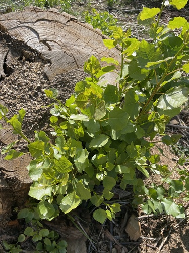
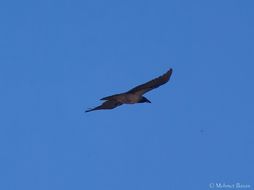
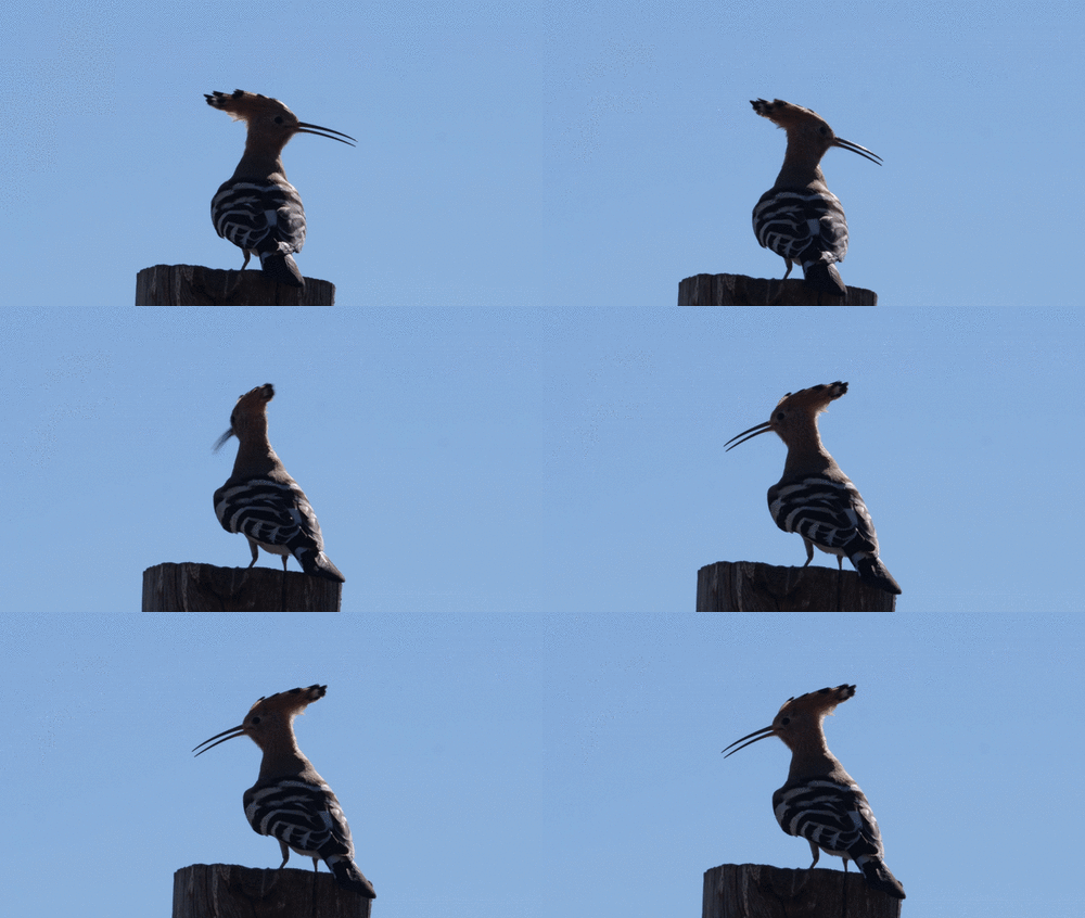
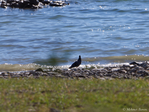
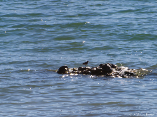
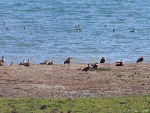
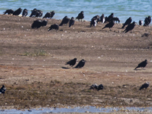
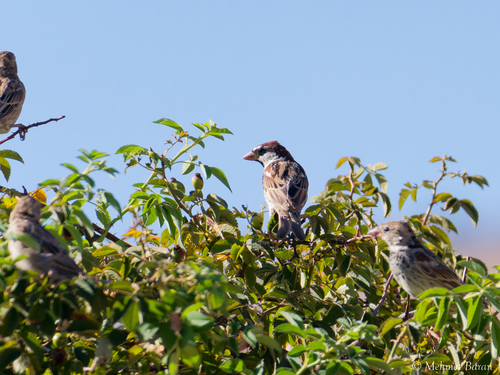
Research-grade observations from iNaturalist (within ~15 mi).
Events
Gallery
Sources
- • Wikipedia
- • Wikidata
- • USGS Earthquake Catalog (global feed)
- • GBIF (Global Biodiversity Information Facility)
- • iNaturalist
- • Open-Meteo / sunrise-sunset.org
- • Wikipedia Pageviews API
- • Open Library
- • Wikidata SPARQL (CC0) — population, area, elevation, inception, head of government, Commons image