Browse / Türkiye / Şanlıurfa / Ceylanpınar
Ceylanpınar
Şanlıurfatown

Ceylanpınar
Total population
84,727
Founded
1982
Demographic figures from TurkStat. Overview below cites Wikipedia and may reference a different year.
City facts
Facts from Wikidata (CC0).
Overview
Ceylanpınar is a municipality and district of Şanlıurfa Province, Turkey. Its area is 1,589 km2, and its population is 90,440 (2022). On the border with Syria, it is reached by a long straight road D.905 across the plain south from Viranşehir. It forms a divided city with Ra's al-'Ayn in Syria and there is a border crossing.
Read more on WikipediaHistory & geography
Geography
Coordinates & boundaries from the US Census TIGER/Line shapefiles.
Climate
Air quality
Walkability
Amenities nearby
Wildlife & biodiversity
Earthquake history
Photos
Sights & places nearby
Notable people from here
Nearby places in Şanlıurfa
- Şanlıurfa72.9 mi away · pop. 2,143,020
- Bozova91.4 mi away · pop. 54,641
- Lhánice1462.7 mi away · pop. 152
- Horní Lhotice1465.8 mi away · pop. 108
- Hluboké1466.1 mi away · pop. 223
- Kralice nad Oslavou1466.2 mi away · pop. 757
- Košíkov1467 mi away · pop. 165
- Jindřichov1468.5 mi away · pop. 84
- Březské1468.9 mi away · pop. 239
- Prosetín1468.9 mi away · pop. 222
- Dolní Čepí1469.2 mi away · pop. 87
- Čtyři Dvory1469.2 mi away · pop. 121
Geography & sun
Elevation, sunrise/sunset and daylight from Open-Meteo. Solar climatology from NASA POWER.
Nearby airports
Public attention
Pageview totals from the Wikimedia Pageviews API.
Books about this place
Recent natural events nearby
Ground air-quality sensors
Recently spotted species
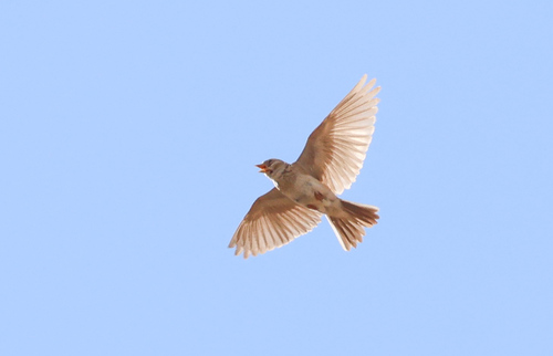
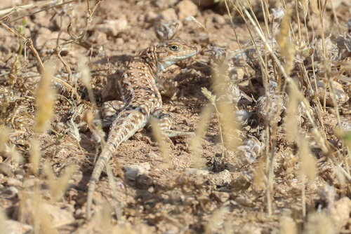
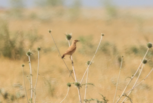
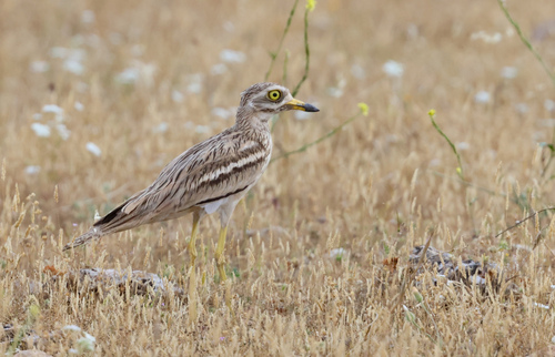
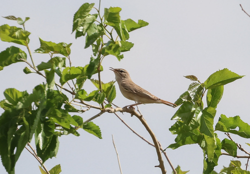
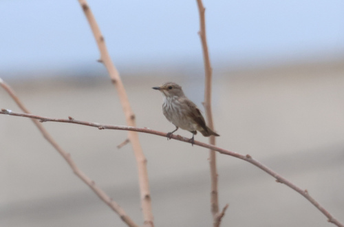
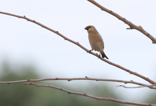
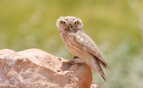
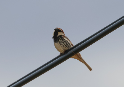
Research-grade observations from iNaturalist (within ~15 mi).
Events
Gallery
Sources
- • Wikipedia
- • Wikidata
- • iNaturalist
- • Open-Meteo / sunrise-sunset.org
- • Wikipedia Pageviews API
- • Wikidata SPARQL (CC0) — population, area, elevation, inception, head of government, Commons image