Browse / Türkiye / Kocaeli / Derince
Derince
Kocaelitown

Featured view
Derince
Total population
140,982
Elevation26 m
Coordinates40.76°, 29.83°
Demographic figures from TurkStat. Overview below cites Wikipedia and may reference a different year.
Loading additional data from public sources…0 / 11
CensusWikipediaWeatherPlacesPeopleEnvironmentHealth & SchoolsRelatedGeography & CultureLive MonitoringEvents & Gallery
0% completeCity facts
Overview
Derince is a seaport, municipality and district of Kocaeli Province, Turkey. Its area is 198 km2, and its population is 146,374 (2022). The mayor is Sertif Gökçe (CHP).
Read more on WikipediaHistory & geography
Geography
Latitude
40.7574
Longitude
29.8308
Water area
—
Coordinates & boundaries from the US Census TIGER/Line shapefiles.
Climate
Air quality
Walkability
Amenities nearby
Wildlife & biodiversity
Earthquake history
Photos
Sights & places nearby
Notable people from here

Saint Barbara
early Christian saint and martyr, from Nicomedia (273-306)
M
Maximus Planudes
Byzantine anthologist, translator

Juliana of Nicomedia
Anatolian saint

İbrahim Üzülmez
Turkish association football player (born 1974)

Pantaleon
Christian martyr and saint (c.275-305)

Kyriaki
Greek saint

Nicarete
Byzantine saint

Anthimus of Nicomedia
bishop of Nicomedia
M
Menodotus of Nicomedia
ancient Greek physician
S
Saoterus
Emperor Commodus's palace chamberlain (died 182)

Natalia of Nicomedia
Christian martyr and the wife of St. Adrian of Nicomedia

Donatus of Arezzo
Bishop of Arezzo
M
Mehmet Kutay Şenyıl
Turkish association football player (born 1987)
N
Nuri Çolak
Turkish association football player (born 1975)
F
Fabius
Christian martyred 305 in Cures Sabini

Ali Demirboğa
Turkish figure skater (born 1990)
People born within ~10 km, from Wikidata (CC0). Click any name for their Wikipedia article.
Nearby places in Kocaeli
- Körfez2.5 mi away
- Çayırova24.1 mi away
- Boč1043.1 mi away · pop. 76
- Citice1053.3 mi away · pop. 713
- Slapany1057.6 mi away
- M'Zaret Boumendjel1205.7 mi away
- Merahna1210.5 mi away · pop. 13,319
- Ouled Driss1213.2 mi away · pop. 11,303
- Mechtat Dardoura1216.9 mi away
- Taoura1217.2 mi away · pop. 18,933
- Souk Ahras1218.8 mi away · pop. 155,259
- Ain Tamatmat1221.7 mi away
Geography & sun
Elevation
85 ft (26 m)
Avg solar (kWh/m²/day)
4.25
Annual solar (kWh/m²)
1,552
Elevation, sunrise/sunset and daylight from Open-Meteo. Solar climatology from NASA POWER.
Nearby airports
Public attention
Wikipedia views (last 30 days)
237
Avg daily Wikipedia views
8
Attention level
Obscure
Pageview totals from the Wikimedia Pageviews API.
Books about Derince
Search results from Open Library.
Recent natural events nearby
Ground air-quality sensors
Recently spotted species
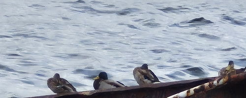
Mallard
Anas platyrhynchos
Seen 2026-09-20
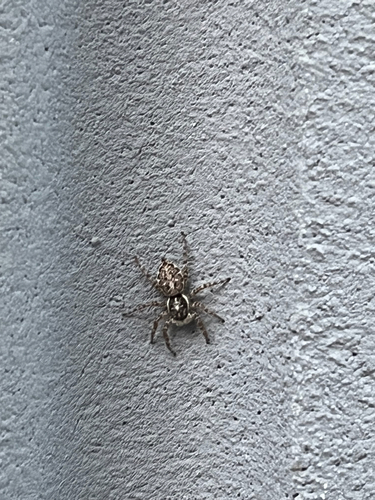
Half-edged Wall Jumping Spider
Menemerus semilimbatus
Seen 2026-09-15
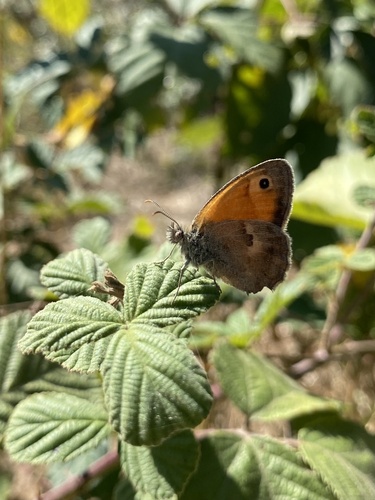
Small Heath
Coenonympha pamphilus
Seen 2026-09-12
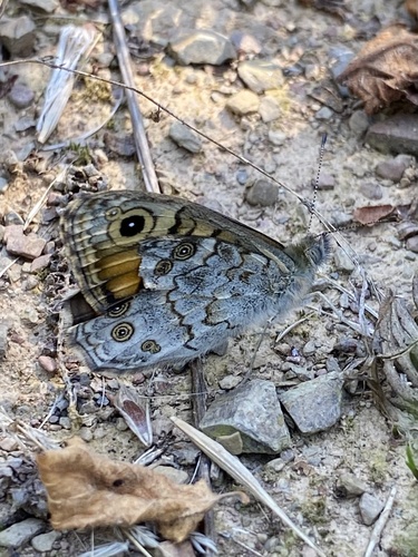
Wall Brown
Lasiommata megera
Seen 2026-09-12
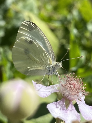
Small White
Pieris rapae
Seen 2026-09-12
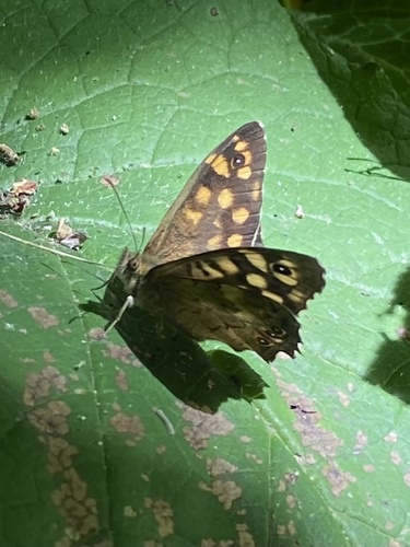
Speckled Wood
Pararge aegeria
Seen 2026-09-12
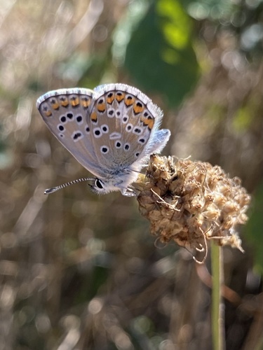
Blue Argus
Aricia anteros
Seen 2026-09-12
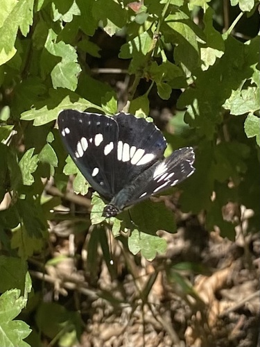
Southern White Admiral
Limenitis reducta
Seen 2026-09-12
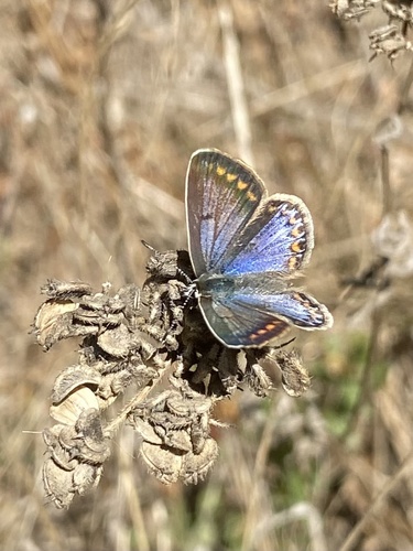
Common Blue
Polyommatus icarus
Seen 2026-09-12
Research-grade observations from iNaturalist (within ~15 mi).
Events
Gallery
Sources
- • Wikipedia
- • Wikidata
- • iNaturalist
- • Open-Elevation
- • Open-Meteo / sunrise-sunset.org
- • Wikipedia Pageviews API
- • Open Library
- • Wikidata SPARQL (CC0) — population, area, elevation, inception, head of government, Commons image