Browse / Türkiye / Eskişehir / Eskisehir
Eskisehir
Eskişehircity

Eskisehir
Total population
888,828
Demographic figures from TurkStat. Overview below cites Wikipedia and may reference a different year.
City facts
Sister cities
Facts from Wikidata (CC0).
Overview
Eskişehir is a city in northwestern Turkey and the capital of the Eskişehir Province. The urban population of the city is 821,315, with a metropolitan population of 921,630.
Read more on WikipediaHistory & geography
History
The city was founded by the Phrygians around 1000 BC, although it has been estimated that the site could be older. The current city lies about a mile from the ancient Phrygian city of Dorylaeum. Many Phrygian artifacts and sculptures are on display in the city's archeological museum. There is also a museum of meerschaum stone, whose production remains notable in the city for the production of quality meerschaum pipes. In the 4th century the city moved about 10 km northeast, from Karacahisar to Şehirhöyük. After Constantine the Great legalized Christianity in the Roman Empire, multiple bishops started to hold office in Dorylaeum, like Eusebius, who opossed the teachings of Nestorius and Eutyches. In the 11th century, Dorylaeum produced rich harvests of grain and the rivers close to the city were a great source for fish. The villages around the city were densely populated and Dorylaeum itself was embellished with stoas, fountains, and houses of illustrious citizens. After the Seljuks conquered the city from the Byzantines, the city became known as . In 1097, it was the site of the significant Battle of Dorylaeum of the First Crusade, in which the Crusaders defeated the Seljuk Turkish sultan Kilij Arslan I. The city later fell to the Seljuks in the 13th century. From 1867-1922, Eskişehir was part of the Hüdavendigâr vilayet. In 1921, it was captured by the invading Greek Army. Eskişehir holds the title of Cultural Capital of the Turkish World and UNESCO Capital of Intangible Cultural Heritage in 2013.
Geography
Eskişehir is situated on the banks of Porsuk River, which flows into the Sakarya River. Porsuk Dam, located near the Eskişehir-Kütahya border, controls the flow of the water in the river. Eskişehir has a cold semi-arid climate (BSk) under the Köppen climate classification, and a temperate continental climate (Dc) under the Trewartha climate classification. The city features cold, snowy winters and warm, dry summers. Rainfall occurs mostly during the spring and autumn. Due to Eskişehir's high altitude and its dry summers, nightly temperatures in the summer months are cool. Precipitation levels are low, but precipitation can be observed throughout the year.
Excerpted from the corresponding Wikipedia article (CC BY-SA).
Geography
Coordinates & boundaries from the US Census TIGER/Line shapefiles.
Climate
Air quality
Walkability
Amenities nearby
Wildlife & biodiversity
Earthquake history
Photos
Sights & places nearby
Notable people from here


People born within ~10 km, from Wikidata (CC0). Click any name for their Wikipedia article.
Nearby places in Eskişehir
- Tepebaşı0.5 mi away · pop. 371,303
- Odunpazarı0.7 mi away · pop. 415,230
- Mihalgazi17.7 mi away · pop. 3,099
- Sarıcakaya19 mi away · pop. 4,790
- İnönü20.2 mi away · pop. 6,355
- Seyitgazi24.7 mi away · pop. 12,844
- Mahmudiye31.5 mi away · pop. 7,740
- Beylikova37 mi away · pop. 6,222
- Çifteler39 mi away · pop. 14,925
- Han46.4 mi away · pop. 2,100
- Mihalıççık52.2 mi away · pop. 8,011
- Sivrihisar58.6 mi away · pop. 20,140
Geography & sun
Elevation, sunrise/sunset and daylight from Open-Meteo. Solar climatology from NASA POWER.
Nearby airports
Public attention
Pageview totals from the Wikimedia Pageviews API.
Books about Eskisehir

Search results from Open Library.
Recent natural events nearby
Ground air-quality sensors
Recently spotted species
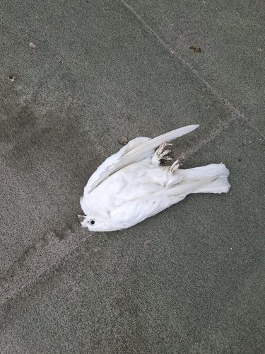
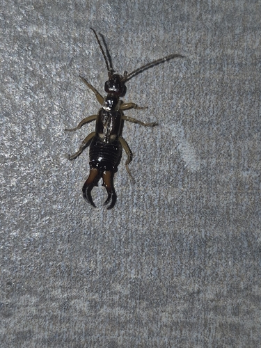
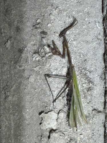
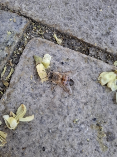
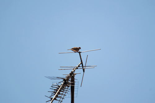
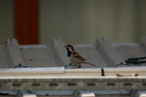
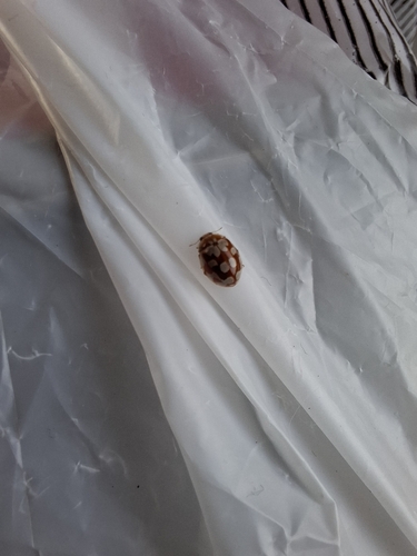
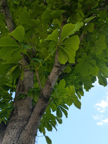
Research-grade observations from iNaturalist (within ~15 mi).
Events
Gallery
Sources
- • Wikipedia
- • Wikidata
- • iNaturalist
- • Open-Meteo / sunrise-sunset.org
- • Wikipedia Pageviews API
- • Open Library
- • Wikidata SPARQL (CC0) — population, area, elevation, inception, head of government, Commons image