Browse / Türkiye / Bursa / Iznik
Iznik
Bursatown

Iznik
Total population
44,236
Demographic figures from TurkStat. Overview below cites Wikipedia and may reference a different year.
City facts
Overview
İznik is a municipality and district of Bursa Province, Turkey. Its area is 753 km2, and its population 44,236 (2022). The town is at the site of the ancient city of Nicaea, from which the modern name derives. The town lies in a fertile basin at the eastern end of Lake İznik, with ranges of hills to the north and south. As the crow flies, the town is only 90 kilometres southeast of Istanbul but by road it is 200 km around the Gulf of İzmit. It is 80 km by road from Bursa.
Read more on WikipediaHistory & geography
History
In ancient times, this was the site of Nicaea, a Hellenistic city founded by Antigonus in 316 BC. In 1331, Orhan captured the city from the Byzantines and for a short period the town became the capital of the expanding Ottoman Emirate. The large church of Hagia Sophia in the centre of the town was converted into the Orhan Mosque and a medrese (theological school-[https://www.turkiyenintarihieserleri.com/?oku=1646 Süleyman Paşa Medresesi]) and hamam (bathhouse) were built nearby. In 1334 Orhan built another mosque and an imaret (soup kitchen) just outside the Yenisehir gate (Yenişeh Kapısı) on the south side of the town. The Moroccan traveller Ibn Battuta stayed in Iznik at the end of 1331 soon after the capture of the town by Orhan. According to Ibn Battuta, the town was in ruins and only inhabited by a small number of people in the service of the sultan. Within the city walls were gardens and cultivated plots with each house surrounded by an orchard. The town produced fruit, walnuts, chestnuts and large sweet grapes. A census in 1520 recorded 379 Muslim and 23 Christian households while another one taken a century later in 1624 recorded 351 Muslim and 10 Christian households. Assuming five members for each household, these figures suggest that the population was around 2,000. Estimates made in the 18th and 19th centuries arrived at similar numbers. The town was poor and the population small even when ceramic production was at its peak during the second half of the 16th century. The Byzantine city is estimated to have had a population of 20,000–30,000 but in the Ottoman period the town was never prosperous and occupied only a small fraction of the walled area. It was, however, a centre for the production of highly decorated fritware vessels and what are known as…
Excerpted from the corresponding Wikipedia article (CC BY-SA).
Geography
Coordinates & boundaries from the US Census TIGER/Line shapefiles.
Climate
Air quality
Walkability
Amenities nearby
Wildlife & biodiversity
Earthquake history
Photos
Sights & places nearby
Notable people from here
Nearby places in Bursa
- Gemlik29.7 mi away · pop. 91,070
- Osmangazi38.3 mi away · pop. 885,441
- Karadjalovo256.1 mi away
- Dobri Dol257.3 mi away
- Byala Reka257.5 mi away
- Jalt Kamak258.2 mi away
- Parvomay260.5 mi away · pop. 13,984
- Krushevo261.3 mi away
- Poroyna262.8 mi away
- Gradina262.8 mi away
- Dalbok Izvor264 mi away
- Tatarevo264.6 mi away
Geography & sun
Elevation, sunrise/sunset and daylight from Open-Meteo. Solar climatology from NASA POWER.
Nearby airports
Public attention
Pageview totals from the Wikimedia Pageviews API.
Books about Iznik


Search results from Open Library.
Recent natural events nearby
Ground air-quality sensors
Recently spotted species
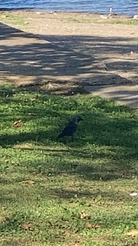
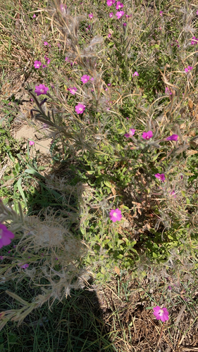
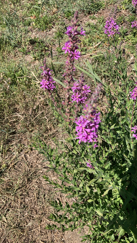
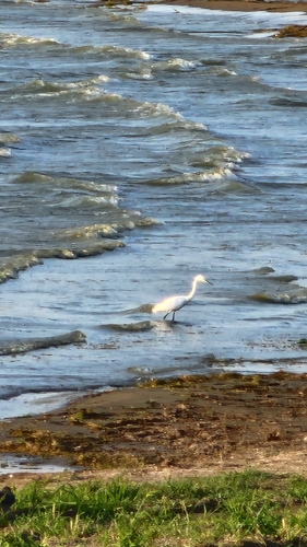
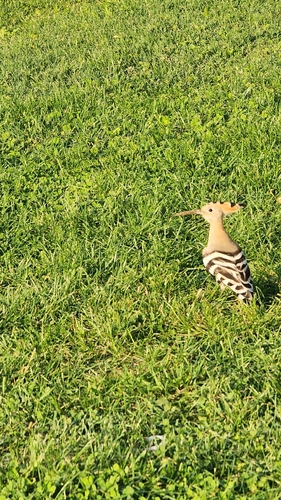
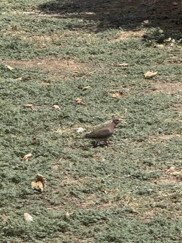
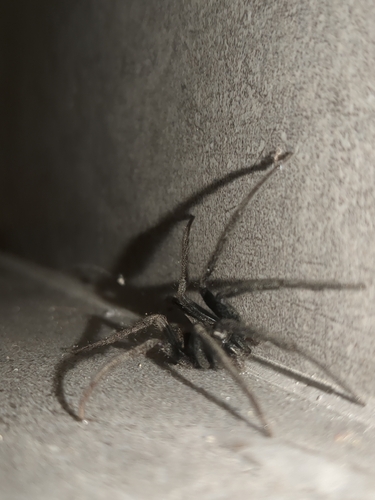
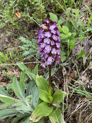
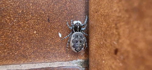
Research-grade observations from iNaturalist (within ~15 mi).
Events
Gallery
Sources
- • Wikipedia
- • iNaturalist
- • Open-Meteo / sunrise-sunset.org
- • Wikipedia Pageviews API
- • Open Library
- • Wikidata SPARQL (CC0) — population, area, elevation, inception, head of government, Commons image