Browse / Türkiye / Bursa / Nilüfer
Nilüfer
Bursatown

Nilüfer
Total population
441,299
Demographic figures from TurkStat. Overview below cites Wikipedia and may reference a different year.
City facts
Overview
Nilüfer is a municipality and district of Bursa Province, Turkey. Its area is 552 km2, and its population is 536,365 (2022). Established in 1987, it is one of the seventeen districts of Bursa Province. It is established as the main residential development area of Bursa in order to meet the housing needs as well as industrial and commercial structures.
Read more on WikipediaHistory & geography
History
Nilüfer district hosting the first settlement in Bursa Region as per some researchers, bears the traces of both Byzantine and Ottoman and the older periods in history. In Nilüfer; Tepecik Tumulus, Gölyazı and Tahtalı villages in Alaaddinbey Neighborhood and Aktopraklık Tumulus and Gölyazı islands region in Akçalar district are rich in historical findings. There are ruins of churches, mosques, baths, fountains, monasteries and castles in these regions together with historical remains and monument trees. There are many historical structures scattered in different parts of Nilüfer. Mosques, bridges and baths from Ottoman region and church ruins remained from various times. Some of them are: H. Ioannes Theologos Church in Çatalağıl village, Saint Helena Church in Özlüce Neighborhood, Demirci Mosque, Yaylacık Mosque, Mihraplı Bridge. Also Misi village and Gölyazı district are the richest ancient settlement areas in Nilüfer. The history of the district goes back to 6th century B.C.
Excerpted from the corresponding Wikipedia article (CC BY-SA).
Geography
Coordinates & boundaries from the US Census TIGER/Line shapefiles.
Climate
Air quality
Walkability
Amenities nearby
Wildlife & biodiversity
Most-observed species
- Eurasian MagpiePica pica (Linnaeus, 1758) · Aves494
- Eurasian BlackbirdTurdus merula Linnaeus, 1758 · Aves455
- Eurasian Collared-DoveStreptopelia decaocto (Frivaldszky, 1838) · Aves438
- House SparrowPasser domesticus (Linnaeus, 1758) · Aves432
- Eurasian JayGarrulus glandarius (Linnaeus, 1758) · Aves427
- Common ChaffinchFringilla coelebs Linnaeus, 1758 · Aves420
- Hooded CrowCorvus cornix Linnaeus, 1758 · Aves412
- Great TitParus major Linnaeus, 1758 · Aves390
Citizen-science & research observations from the Global Biodiversity Information Facility (GBIF).
Earthquake history
Most recent
- M 4.6 — 2025-09-2822 km W of Emet, Turkey
- M 3.8 — 2025-07-0530 km SSW of Kumburgaz, Turkey
- M 4.2 — 2025-07-024 km NE of Gemlik, Turkey
- M 4 — 2025-07-013 km S of Umurbey, Turkey
- M 3.7 — 2025-05-0327 km SE of Marmara Ereğlisi, Turkey
- M 4.3 — 2025-04-2519 km SSW of Kumburgaz, Turkey
Events from the USGS Earthquake Catalog (global) (FDSN Event Web Service).
Photos
Sights & places nearby
Notable people from here


People born within ~10 km, from Wikidata (CC0). Click any name for their Wikipedia article.
Nearby places in Bursa
- Osmangazi4.2 mi away · pop. 885,441
- Gemlik17.3 mi away · pop. 91,070
- Jalt Kamak230.3 mi away
- Karadjalovo230.7 mi away
- Byala Reka231.7 mi away
- Dobri Dol232.2 mi away
- Iskra232.8 mi away · pop. 1,442
- Parvomay234.9 mi away · pop. 13,984
- Krushevo236.1 mi away
- Poroyna236.4 mi away
- Sini Vrah237.4 mi away
- Dalbok Izvor237.5 mi away
Geography & sun
Elevation, sunrise/sunset and daylight from Open-Meteo. Solar climatology from NASA POWER.
Nearby airports
Public attention
Pageview totals from the Wikimedia Pageviews API.
Books about Nilüfer
Search results from Open Library.
Recent natural events nearby
Ground air-quality sensors
Recently spotted species
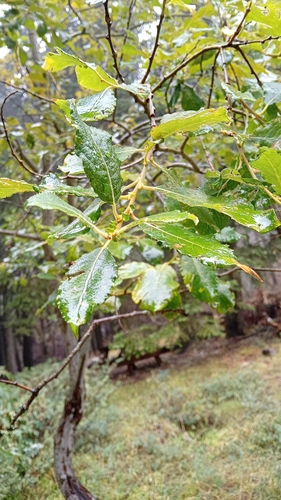
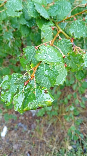
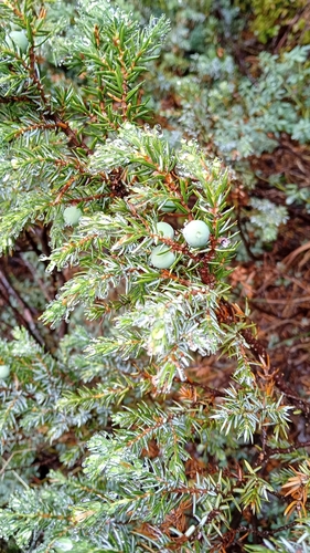
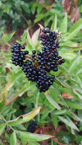
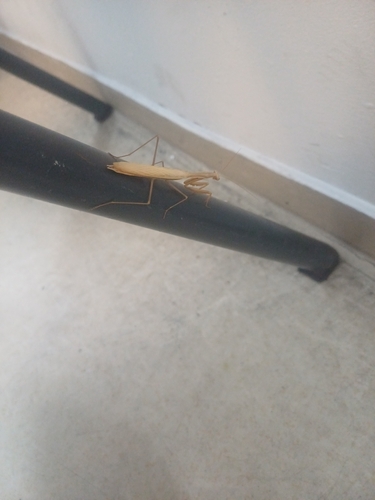
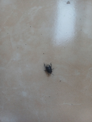
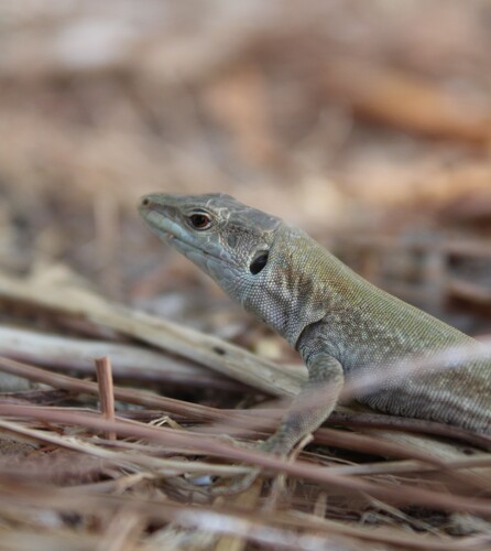
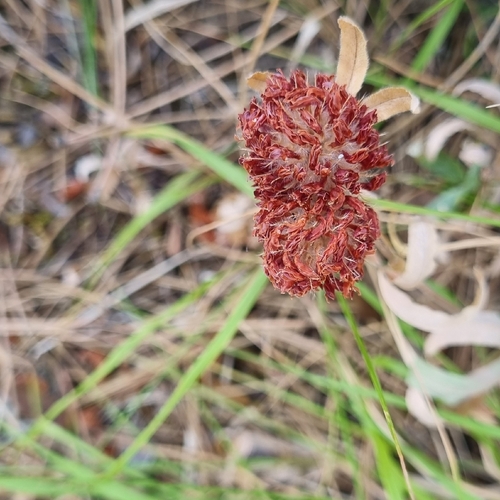
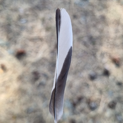
Research-grade observations from iNaturalist (within ~15 mi).
Events
Gallery
Sources
- • Wikipedia
- • Wikidata
- • USGS Earthquake Catalog (global feed)
- • GBIF (Global Biodiversity Information Facility)
- • iNaturalist
- • Open-Meteo / sunrise-sunset.org
- • Wikipedia Pageviews API
- • Open Library
- • Wikidata SPARQL (CC0) — population, area, elevation, inception, head of government, Commons image