Browse / United States / Texas / Alpine
Alpine
Texascity

Alpine
Total population
6,014
Median home value
$219,800
Bachelor's+
Median income
$60,139
Air quality index
Demographic figures from US Census Bureau · ACS 5-year estimates. Overview below cites Wikipedia and may reference a different year.
City facts
Facts from Wikidata (CC0).
Overview
Alpine is a city in and the county seat of Brewster County, Texas, United States. Its population was 6,035 at the 2020 census. The town has an elevation of 4,462 feet (1,360 m), and the surrounding mountain peaks are over 1 mile (1.6 km) above sea level. Sul Ross State University, a hospital, library, and retail make Alpine the center of the sprawling 12,000 square miles (3,108,000 ha) wide-open Big Bend area including Brewster, Presidio, and Jeff Davis Counties.
Read more on WikipediaHistory & geography
History
The area had been a campsite for cattlemen tending their herds between 1878 and the spring of 1882, when a town of tents was created by railroad workers and their families. Because the section of the railroad was called Osborne, that was the name of the small community for a brief time. The railroad needed access to water from springs owned by brothers named Daniel and Thomas Murphy, so it entered into an agreement with the Murphys to change the name of the section and settlement to Murphyville in exchange for a contract to use the spring. In November 1883, the Murphys registered a plat for the town of Murphyville with the county clerk of Presidio County. The town's name was changed to Alpine on February 3, 1888, following a petition by its residents. At this time, a description of the town mentioned a dozen houses, three saloons, a hotel and rooming house, a livery stable, a butcher shop, and a drugstore, which also housed the post office. Alpine grew very slowly until Sul Ross State Normal College (now Sul Ross State University) was opened in 1920. The development of Big Bend National Park in the 1930s and '40s spurred further growth. The population was estimated at only 396 in 1904, but by 1927, it had risen to 3,000. The 1950 census reported Alpine's population at 5,256, and a high of roughly 6,200 was reached by 1976. In 1990, the population was down to 5,637. In 2000, the population grew modestly to 5,786 and 5,905 by 2010. The Holland Hotel, built during a brief mercury-mining boom, was designed by Henry Trost, a distinguished regional architect. Today, it helps to anchor a traditional downtown of early 20th-century buildings still occupied by family-owned retailers and restaurants.
Geography
The town sits on a high plateau, in the Chihuahua Desert, with the Davis Mountains to the north and the Chisos Mountains to the south. Outcrops of ancient volcanic rocks spread to the northwest. Other layers of rocks have been exposed over time as the mountains were forced up and then eroded. The high elevation cools the desert air in the evenings. The small rocky outcrop just northeast of the historic downtown strip is informally referred to by long-time locals as Bollinger Ridge, named after a family of early 20th-century ranchers. Alpine is located on U.S. Route 90, about east of Marfa and 31 miles west of Marathon. According to the United States Census Bureau, the city has a total area of , all land.
Excerpted from the corresponding Wikipedia article (CC BY-SA).
Demographics & economy
Race & ethnicity
Source: US Census Bureau — American Community Survey, 5-year estimates.
Geography
Coordinates & boundaries from the US Census TIGER/Line shapefiles.
Climate
Air quality
Current readings from Open-Meteo Air Quality API (Copernicus CAMS European reanalysis).
Industrial & pollution facilities
Natural hazard risk
Health (adults)
Age-adjusted prevalence estimates from CDC PLACES (latest release).
Walkability
Amenities nearby
Wildlife & biodiversity
Most-observed species
- White-winged DoveZenaida asiatica (Linnaeus, 1758) · Aves3,368
- House SparrowPasser domesticus (Linnaeus, 1758) · Aves3,042
- Eurasian Collared-DoveStreptopelia decaocto (Frivaldszky, 1838) · Aves2,820
- Curve-billed ThrasherToxostoma curvirostre (Swainson, 1827) · Aves2,368
- House FinchHaemorhous mexicanus (P.L.Statius Müller, 1776) · Aves2,110
- Northern MockingbirdMimus polyglottos (Linnaeus, 1758) · Aves1,680
- Turkey VultureCathartes aura (Linnaeus, 1758) · Aves1,515
- Ladder-backed WoodpeckerDryobates scalaris (Wagler, 1829) · Aves1,431
Citizen-science & research observations from the Global Biodiversity Information Facility (GBIF).
Schools
Earthquake history
Most recent
- M 2.8 — 2026-08-1422 km SE of Lindsay, Texas
- M 2.5 — 2026-08-0322 km SSE of Lindsay, Texas
- M 2.7 — 2026-04-0717 km WSW of Coyanosa, Texas
- M 2.5 — 2026-04-0331 km ESE of Balmorhea, Texas
- M 2.6 — 2026-03-2726 km SW of Coyanosa, Texas
- M 2.5 — 2026-02-2313 km E of Balmorhea, Texas
Events from the USGS Earthquake Catalog (global) (FDSN Event Web Service).
Photos
Sights & places nearby
Notable people from here


People born within ~10 km, from Wikidata (CC0). Click any name for their Wikipedia article.
Nearby places in Texas
Geography & sun
Elevation, sunrise/sunset and daylight from Open-Meteo. Solar climatology from NASA POWER.
Nearby airports
Public attention
Pageview totals from the Wikimedia Pageviews API.
Books about this place
Recent natural events nearby
- Prescribed Fire RX Tom Green 7105, Tom Green, TexasWildfires · 2026-08-20 · 197 mi
- Prescribed Fire RX Tom Green 6687, Tom Green, TexasWildfires · 2026-08-10 · 198 mi
- Wildfire McKee Draw, Edwards, TexasWildfires · 2026-08-29 · 200 mi
- Wildfire West Fork, Sutton, TexasWildfires · 2026-08-28 · 209 mi
- Wildfire CATO 2, Chaves, New MexicoWildfires · 2026-08-15 · 218 mi
Wildfires, storms and other events from NASA EONET (last 12 months, within 250 mi).
Ground air-quality sensors
Recently spotted species
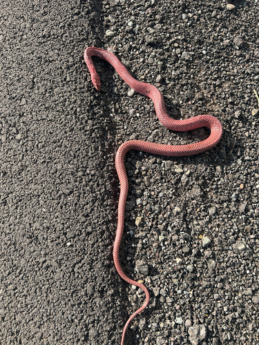
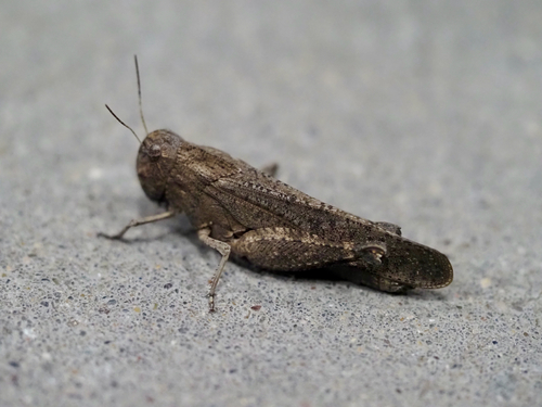
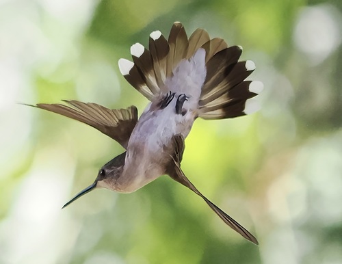
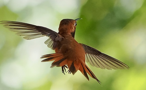
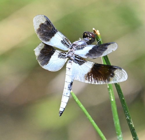
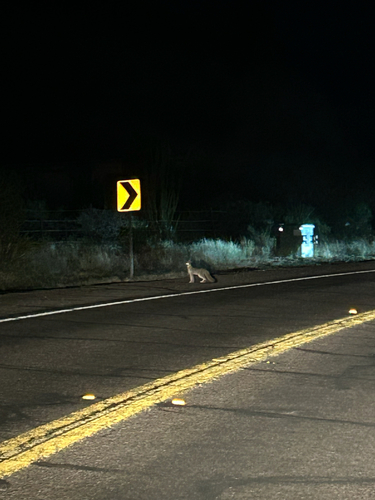
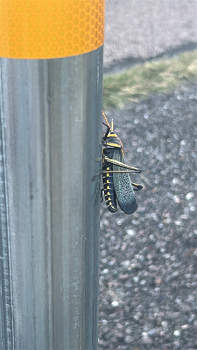
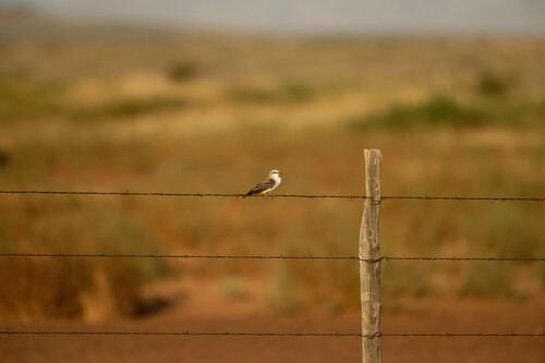
Research-grade observations from iNaturalist (within ~15 mi).
Nearest stream gauge
Events
Gallery
Sources
- • Wikipedia
- • US Census Bureau (ACS 5-year estimates)
- • Wikidata
- • Open-Meteo Air Quality (CAMS)
- • USGS Earthquake Catalog (global feed)
- • GBIF (Global Biodiversity Information Facility)
- • iNaturalist
- • CDC PLACES
- • Open-Meteo / sunrise-sunset.org
- • Wikipedia Pageviews API
- • NASA EONET