Browse / United States / Texas / Bolivar Peninsula
Bolivar Peninsula
TexasCDP

Bolivar Peninsula
Total population
2,951
Median home value
$315,500
Bachelor's+
Median income
$75,547
Air quality index
Demographic figures from US Census Bureau · ACS 5-year estimates. Overview below cites Wikipedia and may reference a different year.
City facts
Facts from Wikidata (CC0).
Overview
Bolivar Peninsula is a census-designated place (CDP) in Galveston County, Texas, United States. The population was 2,769 at the 2020 census. The communities of Port Bolivar, Crystal Beach, Caplen, Gilchrist, and High Island are located on Bolivar Peninsula.
Read more on WikipediaHistory & geography
History
The peninsula was named in 1816 for Simón Bolívar, and Fort Las Casas was built in 1820. Samuel D. Parr was responsible for starting the settlement in 1838 that would later become Port Bolivar. The North Jetty, extending from Bolivar Peninsula, of the entrance to Galveston Bay started being constructed in 1874. At one time the Bolivar Peninsula was called the "breadbasket of Galveston" and the "watermelon capital of Texas". On April 23, 1991, communities of Bolivar Peninsula received an enhanced 9-1-1 system which routes calls to proper dispatchers and allows dispatchers to automatically view the address of the caller. The Bolivar Peninsula suffered heavy damage from Hurricane Ike that made landfall on the Texas coast on September 13, 2008.
Geography
The Bolivar Peninsula forms a very narrow strip of land in Galveston County, separating the eastern part of Galveston Bay from the Gulf of Mexico. Its narrowest point is a quarter of a mile and is near the unincorporated community of Gilchrist, where the peninsula was divided by Rollover Pass. According to the United States Census Bureau, the CDP has a total area of , of which is land and , or 11.7%, is water.
Excerpted from the corresponding Wikipedia article (CC BY-SA).
Demographics & economy
Race & ethnicity
Source: US Census Bureau — American Community Survey, 5-year estimates.
Geography
Coordinates & boundaries from the US Census TIGER/Line shapefiles.
Climate
Current forecast
Forecast for Bolivar Peninsula, TX from NOAA NWS API.
Air quality
Current readings from Open-Meteo Air Quality API (Copernicus CAMS European reanalysis).
Industrial & pollution facilities
Natural hazard risk
Health (adults)
Age-adjusted prevalence estimates from CDC PLACES (latest release).
Walkability
Amenities nearby
Wildlife & biodiversity
Most-observed species
- Great EgretArdea alba Linnaeus, 1758 · Aves30,922
- Great-tailed GrackleQuiscalus mexicanus (Gmelin, 1788) · Aves29,497
- Red-winged BlackbirdAgelaius phoeniceus (Linnaeus, 1766) · Aves27,521
- Northern CardinalCardinalis cardinalis (Linnaeus, 1758) · Aves27,431
- Snowy EgretEgretta thula (Molina, 1782) · Aves26,787
- Laughing GullLeucophaeus atricilla (Linnaeus, 1758) · Aves23,792
- Northern MockingbirdMimus polyglottos (Linnaeus, 1758) · Aves22,797
- Neotropic CormorantPhalacrocorax brasilianus (Gmelin, 1789) · Aves22,752
Citizen-science & research observations from the Global Biodiversity Information Facility (GBIF).
Schools
Largest nearby schools
- CRENSHAW EL AND MIDDLEElementary · PORT BOLIVAR · 136 students · 8.5:1 ratio
Public K–12 schools within ~10 mi from Urban Institute Education Data Portal (NCES Common Core of Data, 2022).
Earthquake history
Events from the USGS Earthquake Catalog (global) (FDSN Event Web Service).
Photos
Sights & places nearby
Notable people from here
Nearby places in Texas
- Anahuac20.1 mi away · pop. 2,892
- Bacliff25.3 mi away · pop. 9,541
- La Marque26.9 mi away
- Hitchcock30.1 mi away
- La Porte31.4 mi away · pop. 35,124
- Jamaica Beach32.3 mi away
- Deer Park35.6 mi away · pop. 33,967
- Barrett39 mi away · pop. 3,273
- China40.5 mi away · pop. 963
- Cloverleaf41.9 mi away · pop. 24,063
- Liverpool44.4 mi away
- Kenefick45.4 mi away · pop. 898
Geography & sun
Elevation, sunrise/sunset and daylight from Open-Meteo. Solar climatology from NASA POWER.
Nearby airports
Public attention
Pageview totals from the Wikimedia Pageviews API.
Books about Bolivar Peninsula


Search results from Open Library.
Recent natural events nearby
- Wildfire Star Lake, Jefferson, TexasWildfires · 2026-09-11 · 27 mi
- Prescribed Fire RX CALV BU 104-108, Vernon, LouisianaWildfires · 2026-09-16 · 132 mi
- Wildfire Hydra, Bosque, TexasWildfires · 2026-09-14 · 245 mi
Wildfires, storms and other events from NASA EONET (last 12 months, within 250 mi).
Ground air-quality sensors
Recently spotted species
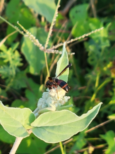
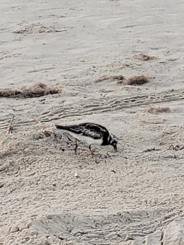
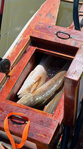
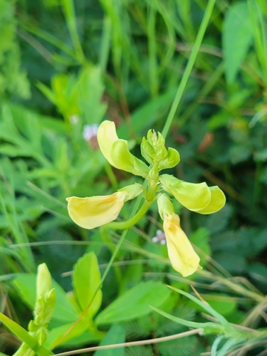
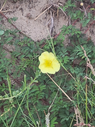
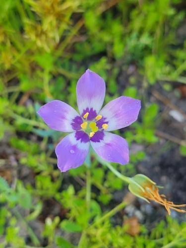
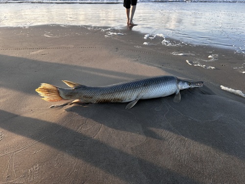
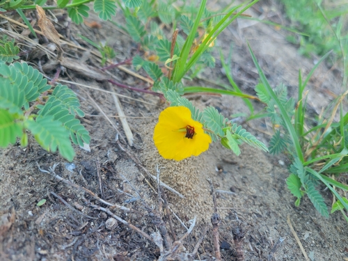
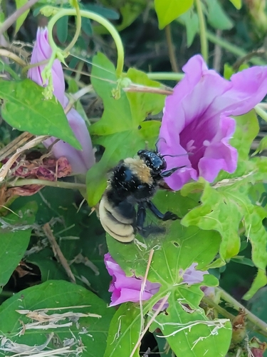
Research-grade observations from iNaturalist (within ~15 mi).
Nearest stream gauge
Live readings from USGS NWIS · measured 2026-10-15 19:30 UTC.
Events
Gallery
Sources
- • Wikipedia
- • US Census Bureau (ACS 5-year estimates)
- • NOAA National Weather Service
- • Wikidata
- • Open-Meteo Air Quality (CAMS)
- • USGS Earthquake Catalog (global feed)
- • USGS NWIS (water data)
- • NCES via Urban Institute Education Data Portal
- • GBIF (Global Biodiversity Information Facility)
- • iNaturalist
- • CDC PLACES
- • Open-Meteo / sunrise-sunset.org
- • Wikipedia Pageviews API
- • Open Library
- • NASA EONET