Browse / United States / Texas / Dalhart
Dalhart
Texascity

Dalhart
Total population
7,902
Median home value
$161,600
Bachelor's+
Median income
$71,630
Founded
1901
Demographic figures from US Census Bureau · ACS 5-year estimates. Overview below cites Wikipedia and may reference a different year.
City facts
Facts from Wikidata (CC0).
Overview
Dalhart is a city in Dallam and Hartley Counties in the U.S. state of Texas, and the county seat of Dallam County. Its population was 8,447 at the 2020 census.
Read more on WikipediaHistory & geography
History
Founded in 1901, Dalhart is named for its location on the border of Dallam and Hartley Counties; its name is a portmanteau of the names of the two counties. The city was founded at the site of a railroad junction, which heavily contributed to its early growth. Dalhart was in the center of the Dust Bowl, an area adversely affected by a long period of drought and dust storms during the Great Depression of the 1930s. Here, Tex Thornton, operating on the now debunked concussion theory, coaxed today's inflation-adjusted equivalent of $1 million from the locals on claims he could fire rocket-powered explosives into the clouds and cause rain.
Geography
Dalhart is located in northwestern Texas. According to the United States Census Bureau, the city has a total area of , of which , or 0.21%, is covered by water. Dalhart sits in the Southern Great Plains and is heavily impacted by its agriculture industry. Dalhart is about 70 miles northwest of Amarillo, the nearest city that has a population over 100,000. Dalhart sits at the intersection of U.S. Highways 54, 87, and 385. Two miles south of Dalhart is the former Rita Blanca State Park, site of Rita Blanca Canyon, now maintained by the City of Dalhart. It is 1,680 acres, plus the 160 acres of Lake Rita Blanca, The park has playground equipment and hiking/biking/riding trails. but is from Santa Fe, New Mexico, from Oklahoma City, Oklahoma, from Denver, Colorado, from Cheyenne, Wyoming, from Topeka, Kansas, and from Lincoln, Nebraska. Dalhart experiences a semiarid climate (Köppen BSk) with cool, dry winters and hot summers. The average annual rainfall of less than strongly influences both Dalhart's ecological climate and agricultural practices, especially center-pivot irrigation. Since records began in 1948, the hottest temperature in Dalhart has been on June 26, 2011, and the coldest was on January 4, 1959. On average, 65 afternoons each year reach or top , 133.8 mornings fall to or below freezing, 10.1 afternoons fail to top freezing, and two mornings fall to or below , giving a hardiness zone of 6b to 7a. The hottest complete month has been July 2011, with a mean maximum of and the coldest was January 1963 with a mean minimum of . The wettest calendar year has been 1985 with and the driest was 2011 with only .
Excerpted from the corresponding Wikipedia article (CC BY-SA).
Demographics & economy
Race & ethnicity
Source: US Census Bureau — American Community Survey, 5-year estimates.
Geography
Coordinates & boundaries from the US Census TIGER/Line shapefiles.
Climate
Current forecast
Forecast for Dalhart, TX from NOAA NWS API.
Air quality
Industrial & pollution facilities
Natural hazard risk
Health (adults)
Age-adjusted prevalence estimates from CDC PLACES (latest release).
Walkability
Amenities nearby
Wildlife & biodiversity
Most-observed species
- Great-tailed GrackleQuiscalus mexicanus (Gmelin, 1788) · Aves318
- Rock PigeonColumba livia J.F.Gmelin, 1789 · Aves310
- House SparrowPasser domesticus (Linnaeus, 1758) · Aves284
- Mourning DoveZenaida macroura (Linnaeus, 1758) · Aves281
- European StarlingSturnus vulgaris Linnaeus, 1758 · Aves270
- Eurasian Collared-DoveStreptopelia decaocto (Frivaldszky, 1838) · Aves255
- Red-winged BlackbirdAgelaius phoeniceus (Linnaeus, 1766) · Aves206
- MallardAnas platyrhynchos Linnaeus, 1758 · Aves187
Citizen-science & research observations from the Global Biodiversity Information Facility (GBIF).
Schools
Earthquake history
Most recent
- M 2.5 — 2026-09-226 km SE of Texhoma, Texas
- M 2.66 — 2025-10-1326 km NW of Goodwell, Oklahoma
- M 2.6 — 2024-09-0834 km NNW of Nara Visa, New Mexico
- M 2.7 — 2024-05-173 km SSE of Hartley, Texas
- M 2.6 — 2023-08-1124 km WSW of Channing, Texas
- M 3.4 — 2022-03-318 km S of Clayton, New Mexico
Events from the USGS Earthquake Catalog (global) (FDSN Event Web Service).
Photos
Sights & places nearby
Notable people from here


People born within ~10 km, from Wikidata (CC0). Click any name for their Wikipedia article.
Nearby places in Texas
Geography & sun
Elevation, sunrise/sunset and daylight from Open-Meteo. Solar climatology from NASA POWER.
Nearby airports
Public attention
Pageview totals from the Wikimedia Pageviews API.
Books about Dalhart




Search results from Open Library.
Recent natural events nearby
- Wildfire Rabbit Ear East, Union, New MexicoWildfires · 2026-08-24 · 47 mi
- Wildfire Brown, Oldham, TexasWildfires · 2026-08-09 · 54 mi
- Wildfire Fowl, Harding, New MexicoWildfires · 2026-09-02 · 79 mi
- Wildfire Sheep Pen, Las Animas, ColoradoWildfires · 2026-08-12 · 82 mi
- Wildfire Old Deer, Carson, TexasWildfires · 2026-08-23 · 83 mi
- Wildfire 4V, San Miguel, New MexicoWildfires · 2026-08-29 · 106 mi
- Wildfire LAUGHLIN, Colfax, New MexicoWildfires · 2026-08-25 · 113 mi
- Wildfire Post, Las Animas, ColoradoWildfires · 2026-08-11 · 127 mi
Wildfires, storms and other events from NASA EONET (last 12 months, within 250 mi).
Ground air-quality sensors
Recently spotted species
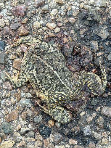
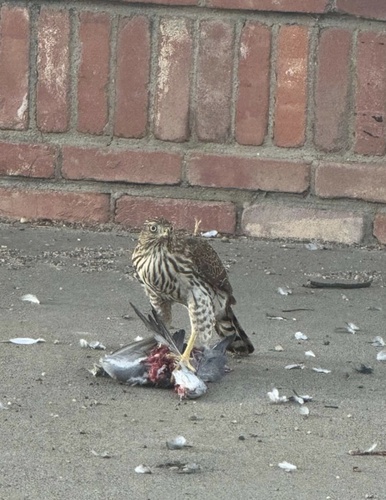
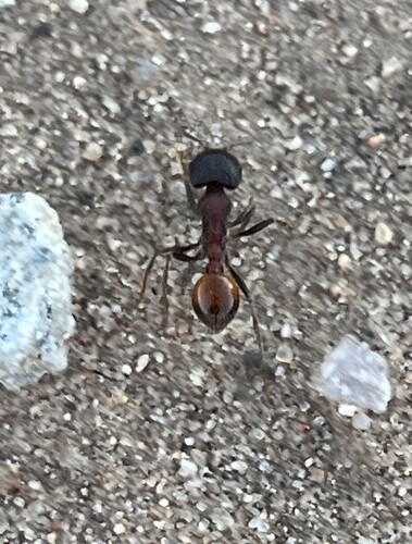
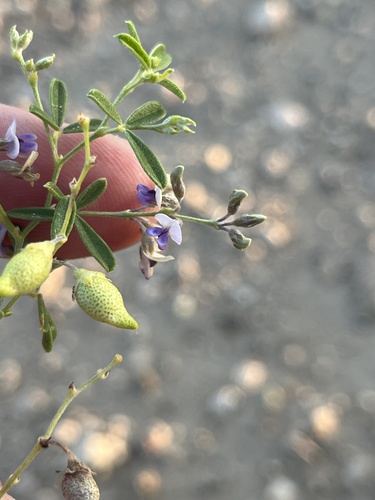
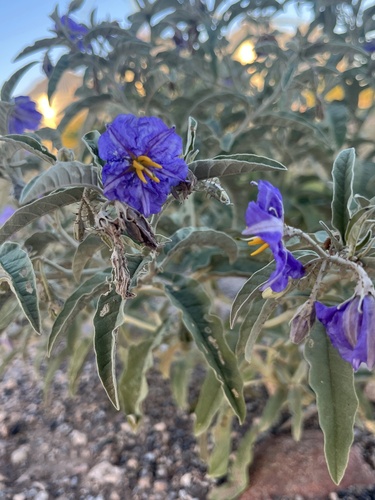
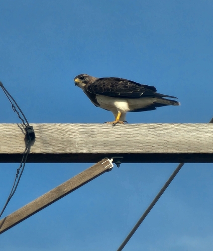
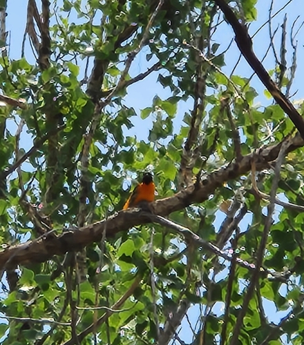
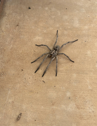
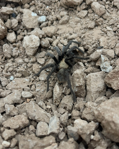
Research-grade observations from iNaturalist (within ~15 mi).
Nearest stream gauge
Events
Gallery
Sources
- • Wikipedia
- • US Census Bureau (ACS 5-year estimates)
- • NOAA National Weather Service
- • Wikidata
- • USGS Earthquake Catalog (global feed)
- • GBIF (Global Biodiversity Information Facility)
- • iNaturalist
- • CDC PLACES
- • Open-Meteo / sunrise-sunset.org
- • Wikipedia Pageviews API
- • Open Library
- • NASA EONET