Browse / United States / Texas / Farwell
Farwell
Texascity

Farwell
Total population
1,306
Median home value
$149,000
Bachelor's+
Median income
$56,875
Demographic figures from US Census Bureau · ACS 5-year estimates. Overview below cites Wikipedia and may reference a different year.
City facts
Facts from Wikidata (CC0).
Overview
Farwell is a city in and the county seat of Parmer County, Texas, United States. Its population was 1,425 at the 2020 census. The city is located on the Texas-New Mexico border with the city of Texico, New Mexico across the border.
Read more on WikipediaHistory & geography
History
Farwell began as a cow camp for the XIT Ranch, a huge ranch that was established in 1880. Farwell was named for brothers Charles B. and John V. Farwell of Lake Forest, Illinois, who built the Texas State Capitol building in exchange for of ranchland. That region of Texas had been controlled by the Comanche from about 1725, when they defeated the Apache and forced them to migrate to the [Sierra Blanca range] in New Mexico and to other regions [the southernmost point of the Rockies is near Santa Fe]. The Red River War of 1874–1875—the biggest military operation the U.S. had between the Civil War and World War One—had five armies converge on that part of the High Plains, ultimately defeating the main Comanche force in Palo Duro Canyon (80 mi northeast of Farwell) by driving off and slaughtering the Comanches' horses. The Farwell brothers established the XIT on their new land, ultimately employing 800 cowboys, stringing over 6,000 miles of barbed wire, and hiring former Texas Rangers to defeat the hundreds of cattle rustlers operating across the state line in the New Mexico territory. Many researchers hold that the XIT ultimately failed because of that massive rustling operation, ultimately persuading stockholders to begin selling off the ranch to families who came to that part of the High Plains drawn by the cheap price of land. When the cow camp that would become Farwell was established is not documented, but when Parmer County was created in 1907 (previously part of Deaf Smith County to its north), the election was held for county seat in a contest among Farwell, Bovina, Parmerton, and Friona, all to Farwell's northeast, all which had started as cow camps, but had varying success thus far in attracting settlers who ran saloons, stores, stables, and other services…
Geography
Farwell lies on the level plains of the Llano Estacado at (34.382919, –103.038339). According to the United States Census Bureau, the city has a total area of , all land. It is located east of Clovis, New Mexico, northwest of Lubbock, Texas, and 95 mi (152.888 km) southwest of Amarillo, Texas. It lies at the junction of two branches of the BNSF Railway from Belen. One branch goes northeast toward Amarillo and the Midwest; the other southeast toward Lubbock and the Texas Gulf Coast. For years, a dispute had been simmering over which state Farwell (and her sister city on the other side of the state line, Texico) is lawfully a part of: Texas or New Mexico. The straight north–south border between the two states was originally defined as the 103rd meridian, but the 1859 survey that was supposed to mark that boundary mistakenly set the border between 2.29 and 3.77 miles too far west of that line, making the current towns of Texline, Farwell, Bledsoe, Bronco and a part of Glenrio appear to be within Texas. New Mexico's short border with Oklahoma, in contrast, was surveyed on the correct meridian. New Mexico's draft constitution in 1910 stated that the border is on the 103rd meridian as intended. The disputed strip, hundreds of miles long, includes parts of valuable oilfields of the Permian Basin. A bill was passed in the New Mexico Senate to fund and file a lawsuit in the U.S. Supreme Court to recover the strip from Texas, but the bill did not become law. Today, land in the strip is included in Texas land surveys and all purposes is taxed and governed by the State of Texas.
Excerpted from the corresponding Wikipedia article (CC BY-SA).
Demographics & economy
Race & ethnicity
Source: US Census Bureau — American Community Survey, 5-year estimates.
Geography
Coordinates & boundaries from the US Census TIGER/Line shapefiles.
Climate
Current forecast
Forecast for Farwell, TX from NOAA NWS API.
Air quality
Industrial & pollution facilities
Natural hazard risk
Health (adults)
Age-adjusted prevalence estimates from CDC PLACES (latest release).
Walkability
Amenities nearby
Wildlife & biodiversity
Most-observed species
- Mourning DoveZenaida macroura (Linnaeus, 1758) · Aves1,011
- House SparrowPasser domesticus (Linnaeus, 1758) · Aves992
- Great-tailed GrackleQuiscalus mexicanus (Gmelin, 1788) · Aves963
- Eurasian Collared-DoveStreptopelia decaocto (Frivaldszky, 1838) · Aves827
- MallardAnas platyrhynchos Linnaeus, 1758 · Aves649
- Canada Goose (canadensis Group)Branta canadensis (Linnaeus, 1758) · Aves582
- European StarlingSturnus vulgaris Linnaeus, 1758 · Aves579
- Western KingbirdTyrannus verticalis Say, 1823 · Aves533
Citizen-science & research observations from the Global Biodiversity Information Facility (GBIF).
Schools
Earthquake history
Most recent
- M 2.7 — 2024-04-2124 km S of Adrian, Texas
Events from the USGS Earthquake Catalog (global) (FDSN Event Web Service).
Photos
Sights & places nearby
Notable people from here

People born within ~10 km, from Wikidata (CC0). Click any name for their Wikipedia article.
Nearby places in Texas
Geography & sun
Elevation, sunrise/sunset and daylight from Open-Meteo. Solar climatology from NASA POWER.
Nearby airports
Public attention
Pageview totals from the Wikimedia Pageviews API.
Books about Farwell



Search results from Open Library.
Recent natural events nearby
- Wildfire Brown, Oldham, TexasWildfires · 2026-08-09 · 68 mi
- Wildfire CATO 2, Chaves, New MexicoWildfires · 2026-08-15 · 80 mi
- Wildfire Fowl, Harding, New MexicoWildfires · 2026-09-02 · 92 mi
- Wildfire 4V, San Miguel, New MexicoWildfires · 2026-08-29 · 107 mi
- Wildfire Rustler, Motley, TexasWildfires · 2026-08-23 · 123 mi
- Wildfire Old Deer, Carson, TexasWildfires · 2026-08-23 · 127 mi
- Wildfire Rabbit Ear East, Union, New MexicoWildfires · 2026-08-24 · 147 mi
- Wildfire LAUGHLIN, Colfax, New MexicoWildfires · 2026-08-25 · 168 mi
Wildfires, storms and other events from NASA EONET (last 12 months, within 250 mi).
Ground air-quality sensors
Recently spotted species
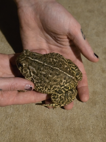
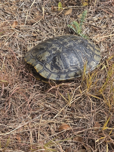
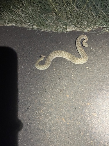
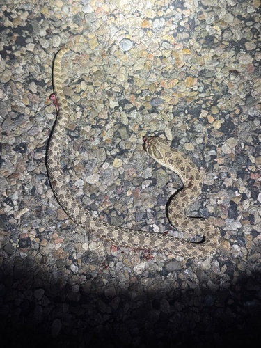
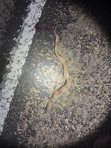
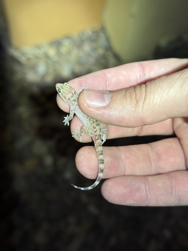
Research-grade observations from iNaturalist (within ~15 mi).
Nearest stream gauge
Events
Gallery
Sources
- • Wikipedia
- • US Census Bureau (ACS 5-year estimates)
- • NOAA National Weather Service
- • Wikidata
- • USGS Earthquake Catalog (global feed)
- • GBIF (Global Biodiversity Information Facility)
- • iNaturalist
- • CDC PLACES
- • Open-Meteo / sunrise-sunset.org
- • Wikipedia Pageviews API
- • Open Library
- • NASA EONET