Browse / United States / Texas / Frisco
Frisco
Texascity

Frisco
Total population
235,221
Median home value
$735,300
Bachelor's+
Median income
$145,444
Founded
1904
Demographic figures from US Census Bureau · ACS 5-year estimates. Overview below cites Wikipedia and may reference a different year.
- Wind Advisory · ModerateWind Advisory issued October 16 at 1:24PM CDT until October 16 at 7:00PM CDT by NWS Fort Worth TX
Source: NOAA National Weather Service.
City facts
Facts from Wikidata (CC0).
Overview
Frisco is a city in Collin and Denton counties in the U.S. state of Texas. It is part of the Dallas–Fort Worth metroplex (DFW) and about 25 miles (40 km) from both Dallas Love Field and Dallas/Fort Worth International Airport. Its population was 200,509 in the 2020 U.S. census.
Read more on WikipediaHistory & geography
History
When the Dallas area was being settled by American pioneers, many of the settlers traveled by wagon trains along the Shawnee Trail. This trail became the Preston Trail, and later Preston Road. With all this activity, the community of Lebanon was founded along this trail and was granted a U.S. post office in 1860. In 1902, a line of the St. Louis–San Francisco Railway ("the Frisco") was being built through the area, and periodic watering stops were needed along the route for the steam locomotives. The current settlement of Lebanon was on Preston Ridge and was too high in elevation, so the watering stop was placed about 4 miles (6 km) to the west, on lower ground. A community grew around this train stop, and some Lebanon residents moved their houses to the new community on logs. The new town was originally named Emerson, but the U.S. Postal Service rejected the name as too similar to another community, Emberson, in Lamar County. In 1904, the town's residents chose "Frisco City" in honor of the St. Louis–San Francisco Railway. This name was later shortened to Frisco.
Geography
Frisco is within the Dallas–Fort Worth metroplex, partially in Denton and Collin counties, in North Texas. According to the United States Census Bureau, the city has an area of , of which is land and , or 0.92%, is covered by water. Frisco is part of the humid subtropical region. The city gets of precipitation per year. On average, 230 days per year are sunny. The July high is ; the January low is . The comfort index, which is based on humidity during the hot months, is 25 out of 100, where higher is more comfortable. The city is also in Tornado Alley, with the most recent confirmed tornado in 2024, as an EF-0 tornado, near the UNT Frisco Campus.
Excerpted from the corresponding Wikipedia article (CC BY-SA).
Demographics & economy
Race & ethnicity
Source: US Census Bureau — American Community Survey, 5-year estimates.
Geography
Coordinates & boundaries from the US Census TIGER/Line shapefiles.
Climate
Current forecast
Forecast for Frisco, TX from NOAA NWS API.
Air quality
Industrial & pollution facilities
Natural hazard risk
Health (adults)
Age-adjusted prevalence estimates from CDC PLACES (latest release).
Walkability
Amenities nearby
Wildlife & biodiversity
Most-observed species
- Northern CardinalCardinalis cardinalis (Linnaeus, 1758) · Aves17,159
- Blue JayCyanocitta cristata (Linnaeus, 1758) · Aves15,456
- American CrowCorvus brachyrhynchos C.L.Brehm, 1822 · Aves15,445
- Mourning DoveZenaida macroura (Linnaeus, 1758) · Aves13,344
- Northern MockingbirdMimus polyglottos (Linnaeus, 1758) · Aves12,757
- Carolina ChickadeePoecile carolinensis (Audubon, 1834) · Aves10,838
- MallardAnas platyrhynchos Linnaeus, 1758 · Aves10,183
- Red-bellied WoodpeckerMelanerpes carolinus (Linnaeus, 1758) · Aves10,039
Citizen-science & research observations from the Global Biodiversity Information Facility (GBIF).
Schools
Largest nearby schools
- ALLEN H SHigh · ALLEN · 5,317 students · 19.2:1 ratio
- PROSPER H SHigh · PROSPER · 3,769 students · 17.4:1 ratio
- ROCK HILL H SHigh · FRISCO · 2,832 students · 15.1:1 ratio
- MCKINNEY BOYD H SHigh · MCKINNEY · 2,651 students · 16.8:1 ratio
- PLANO WEST SENIOR H SHigh · PLANO · 2,625 students · 17.6:1 ratio
- PLANO SR H SHigh · PLANO · 2,288 students · 15.9:1 ratio
- LEBANON TRAIL H SHigh · FRISCO · 2,136 students · 15.7:1 ratio
- HERITAGE H SHigh · FRISCO · 2,127 students · 14.9:1 ratio
Public K–12 schools within ~10 mi from Urban Institute Education Data Portal (NCES Common Core of Data, 2022).
Earthquake history
Most recent
- M 3.1 — 2024-05-017 km SSW of Mansfield, Texas
- M 3.2 — 2024-05-017 km S of Mansfield, Texas
- M 2.51 — 2022-07-209 km WSW of Lebanon, Oklahoma
- M 2.53 — 2021-12-2014 km ENE of Leon, Oklahoma
- M 2.51 — 2020-06-1114 km NE of Leon, Oklahoma
- M 2.55 — 2020-01-0613 km NE of Leon, Oklahoma
Events from the USGS Earthquake Catalog (global) (FDSN Event Web Service).
Photos
Sights & places nearby
Notable people from here
Nearby places in Texas
- Little Elm6.2 mi away · pop. 46,453
- Lakewood Village9 mi away
- Lake Dallas11.7 mi away
- Aubrey13.9 mi away · pop. 7,396
- Lucas14.5 mi away
- Lowry Crossing16.1 mi away
- Copper Canyon16.4 mi away
- Double Oak17.7 mi away · pop. 3,071
- Melissa17.9 mi away
- Gunter18 mi away · pop. 2,398
- Anna20.5 mi away · pop. 24,330
- Justin28.9 mi away · pop. 5,447
Geography & sun
Elevation, sunrise/sunset and daylight from Open-Meteo. Solar climatology from NASA POWER.
Nearby airports
Public attention
Pageview totals from the Wikimedia Pageviews API.
Books about Frisco


Search results from Open Library.
Recent natural events nearby
- Wildfire Ross, Palo Pinto, TexasWildfires · 2026-08-24 · 92 mi
- Wildfire Atoka Lake, Atoka, OklahomaWildfires · 2026-09-14 · 96 mi
- Wildfire PINTO, Stephens, OklahomaWildfires · 2026-09-08 · 98 mi
- Wildfire Hydra, Bosque, TexasWildfires · 2026-09-14 · 102 mi
- Wildfire Buck Creek, Pushmataha, OklahomaWildfires · 2026-08-25 · 113 mi
- Wildfire Tram Trail, Pushmataha, OklahomaWildfires · 2026-09-14 · 114 mi
- Wildfire Bufford Creek, Stephens, TexasWildfires · 2026-08-10 · 119 mi
- Wildfire Alexander Trail Fire, Pushmataha, OklahomaWildfires · 2026-08-30 · 127 mi
Wildfires, storms and other events from NASA EONET (last 12 months, within 250 mi).
Ground air-quality sensors
Recently spotted species
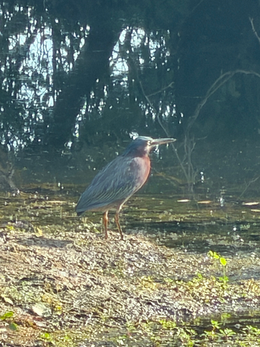
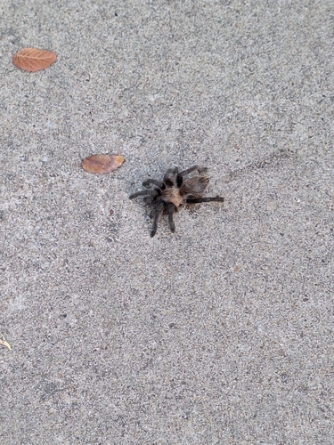
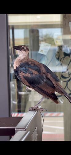
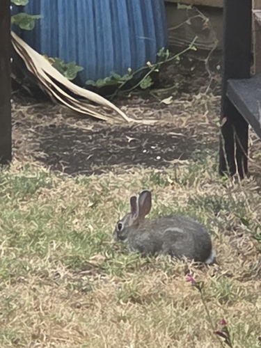
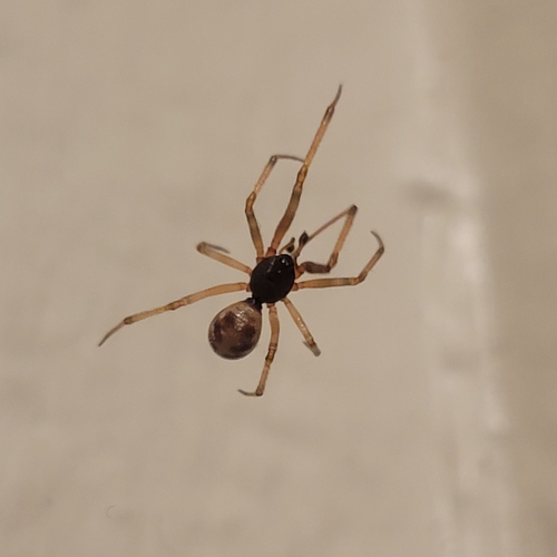
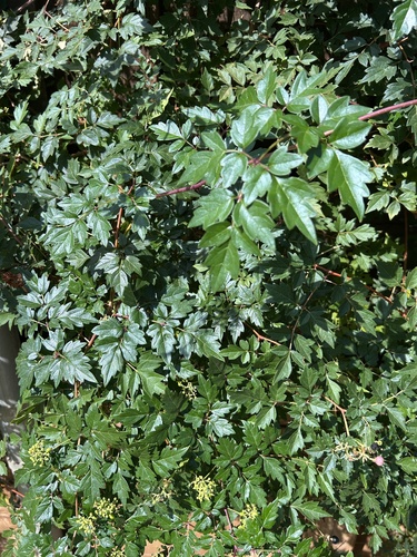
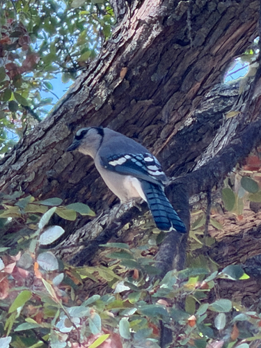
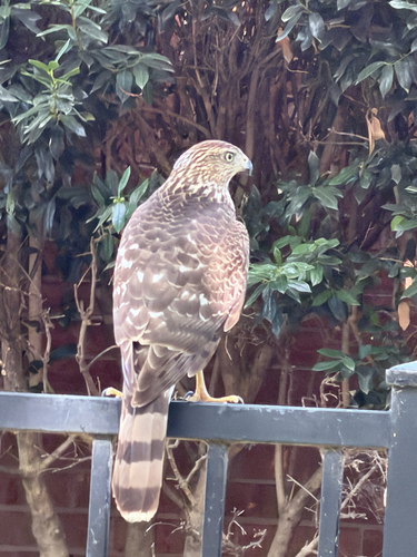
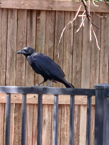
Research-grade observations from iNaturalist (within ~15 mi).
Nearest stream gauge
Events
Gallery
Sources
- • Wikipedia
- • US Census Bureau (ACS 5-year estimates)
- • NOAA National Weather Service
- • Wikidata
- • USGS Earthquake Catalog (global feed)
- • NCES via Urban Institute Education Data Portal
- • GBIF (Global Biodiversity Information Facility)
- • iNaturalist
- • CDC PLACES
- • Open-Meteo / sunrise-sunset.org
- • Wikipedia Pageviews API
- • Open Library
- • NASA EONET