Browse / United States / Texas / Galveston
Galveston
Texascity

Galveston
Total population
53,424
Median home value
$326,000
Bachelor's+
Median income
$55,631
Founded
1785
Air quality index
Demographic figures from US Census Bureau · ACS 5-year estimates. Overview below cites Wikipedia and may reference a different year.
- Wind Advisory · ModerateWind Advisory issued October 16 at 9:57PM CDT until October 17 at 1:00PM CDT by NWS Houston/Galveston TX
Source: NOAA National Weather Service.
City facts
Facts from Wikidata (CC0).
Overview
Galveston is a resort city and port on the Gulf Coast of the U.S. state of Texas. It encompasses 211.31 square miles (547.3 km2) on Galveston Island and Pelican Island. As of the 2020 census, the city had a population of 53,695, making it the second-largest municipality in Galveston County, where it also serves as the county seat. Located at the southern end of the Greater Houston metropolitan area, Galveston sits on the northwestern coast of the Gulf of Mexico.
Read more on WikipediaHistory & geography
History
Indigenous inhabitants of Galveston Island called the island Auia. Though there is no certainty regarding their route and their landings, Cabeza de Vaca and his crew were shipwrecked at a place he called "Isla de Malhado" in November 1528. This could have referred to Galveston Island or San Luis Island. During his charting of the Gulf Coast in 1785, the Spanish explorer José de Evia labeled the water features surrounding the island "Bd. de Galvestown" and "Bahia de Galvestowm" [sic]. He was working under the orders of Bernardo de Gálvez. In his early chart, he called the western end of the island "Isla de San Luis" and the eastern end "Pt. de Culebras". Evia did not label the island itself on his map of 1799. Just five years later, Alexander von Humboldt borrowed the place names Isla de San Luis, Pte. De Culebras, and Bahia de Galveston. Stephen F. Austin followed his predecessors in the use of "San Luis Island", but introduced "Galveston" to refer to the little village at the east end of the island. Evidence of the name Galveston Island appears on an 1833 map by David H. Burr. Lafitte organized Galveston into a pirate "kingdom" he called "Campeche", anointing himself the island's "head of government". Lafitte remained in Galveston until 1821, when the United States Navy forced him and his raiders off the island. In 1825 the Congress of Mexico established the Port of Galveston and in 1830 erected a customs house. Galveston served as the capital of the Republic of Texas when in 1836 the interim president David G. Burnet relocated his government there. As Anglo-Americans migrated to the city, they brought along or purchased enslaved African Americans, some of whom worked domestically or on the waterfront, including on riverboats. In 1839, the City of Galveston adopted…
Geography
The city of Galveston is situated on Galveston Island, a barrier island off the Texas Gulf coast near the mainland coast. Made up of mostly sand-sized particles and smaller amounts of finer mud sediments and larger gravel-sized sediments, the island is unstable, affected by water and weather, and can shift its boundaries through erosion. The city is about southeast of downtown Houston. The island is oriented generally northeast-southwest, with the Gulf of Mexico on the east and south, West Bay on the west, and Galveston Bay on the north. The island's main access point from the mainland is the Interstate Highway 45 causeway that crosses West Bay on the island's northeast side. A deepwater channel connects Galveston's harbor with the Gulf and the Gulf Intracoastal Waterway. According to the United States Census Bureau, the city has an area of , of which are land and , or 80.31%, are water. The western portion of Galveston is referred to as the "West End", roughly corresponding to the area west of the western end of the seawall. Communities in eastern Galveston (the area east of the western end of the seawall) include Havre Lafitte, Offats Bayou, Central City, Fort Crockett, Bayou Shore, Lasker Park, Carver Park, Kempner Park, Old City/Central Business District, San Jacinto, East End, and Lindale. As of 2009 many residents of the west end use golf carts as transportation to take them to and from residential houses, the Galveston Island Country Club, and stores. In 2009, Chief of Police Charles Wiley said he believed golf carts should be prohibited outside golf courses, and West End residents campaigned against any ban on their use. In 2011 Rice University released a study, "Atlas of Sustainable Strategies for Galveston Island", which argued the West End of Galveston…
Excerpted from the corresponding Wikipedia article (CC BY-SA).
Demographics & economy
Race & ethnicity
Source: US Census Bureau — American Community Survey, 5-year estimates.
Geography
Coordinates & boundaries from the US Census TIGER/Line shapefiles.
Climate
Current forecast
Forecast for Galveston, TX from NOAA NWS API.
Air quality
Current readings from Open-Meteo Air Quality API (Copernicus CAMS European reanalysis).
Industrial & pollution facilities
Natural hazard risk
Health (adults)
Age-adjusted prevalence estimates from CDC PLACES (latest release).
Walkability
Amenities nearby
Wildlife & biodiversity
Most-observed species
- Laughing GullLeucophaeus atricilla (Linnaeus, 1758) · Aves24,027
- Brown PelicanPelecanus occidentalis Linnaeus, 1766 · Aves22,444
- Great-tailed GrackleQuiscalus mexicanus (Gmelin, 1788) · Aves22,066
- Northern MockingbirdMimus polyglottos (Linnaeus, 1758) · Aves19,703
- White IbisEudocimus albus (Linnaeus, 1758) · Aves18,803
- Great EgretArdea alba Linnaeus, 1758 · Aves17,479
- Snowy EgretEgretta thula (Molina, 1782) · Aves14,366
- Great Blue/Cocoi HeronArdea herodias Linnaeus, 1758 · Aves13,657
Citizen-science & research observations from the Global Biodiversity Information Facility (GBIF).
Schools
Largest nearby schools
- OPPE ELElementary · GALVESTON · 610 students · 13.3:1 ratio
- PARKER ELElementary · GALVESTON · 482 students · 12.1:1 ratio
- WEISMiddle · GALVESTON · 374 students · 12.9:1 ratio
Public K–12 schools within ~10 mi from Urban Institute Education Data Portal (NCES Common Core of Data, 2022).
Earthquake history
Events from the USGS Earthquake Catalog (global) (FDSN Event Web Service).
Photos
Sights & places nearby
Notable people from here

People born within ~10 km, from Wikidata (CC0). Click any name for their Wikipedia article.
Nearby places in Texas
- Jamaica Beach0.9 mi away
- La Marque12.8 mi away
- Bacliff22.3 mi away · pop. 9,541
- Clute28.4 mi away · pop. 10,715
- Freeport28.9 mi away · pop. 10,621
- Manvel31.6 mi away
- Iowa Colony32.7 mi away
- Holiday Lakes33.2 mi away
- Jones Creek33.7 mi away
- Deer Park35.8 mi away · pop. 33,967
- Fresno38.8 mi away · pop. 24,560
- Cloverleaf43.5 mi away · pop. 24,063
Geography & sun
Elevation, sunrise/sunset and daylight from Open-Meteo. Solar climatology from NASA POWER.
Nearby airports
Public attention
Pageview totals from the Wikimedia Pageviews API.
Books about Galveston



Search results from Open Library.
Recent natural events nearby
- Wildfire Star Lake, Jefferson, TexasWildfires · 2026-09-11 · 59 mi
- Prescribed Fire RX CALV BU 104-108, Vernon, LouisianaWildfires · 2026-09-16 · 163 mi
- Wildfire Hydra, Bosque, TexasWildfires · 2026-09-14 · 244 mi
- Wildfire Rio Escondido, Hamilton, TexasWildfires · 2026-08-24 · 247 mi
Wildfires, storms and other events from NASA EONET (last 12 months, within 250 mi).
Ground air-quality sensors
Recently spotted species
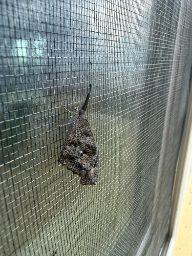
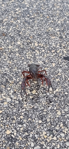
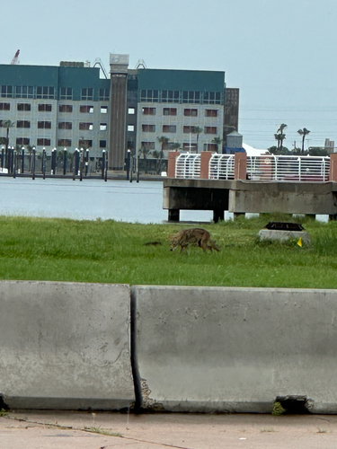
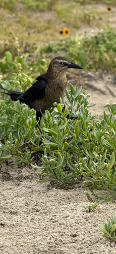
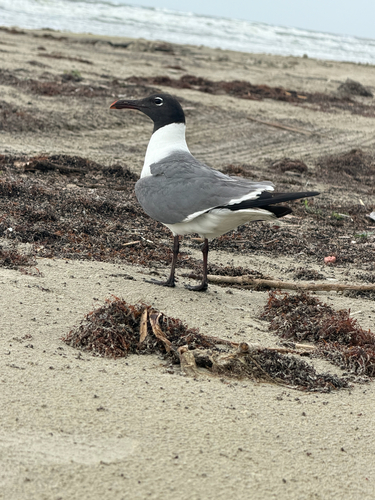
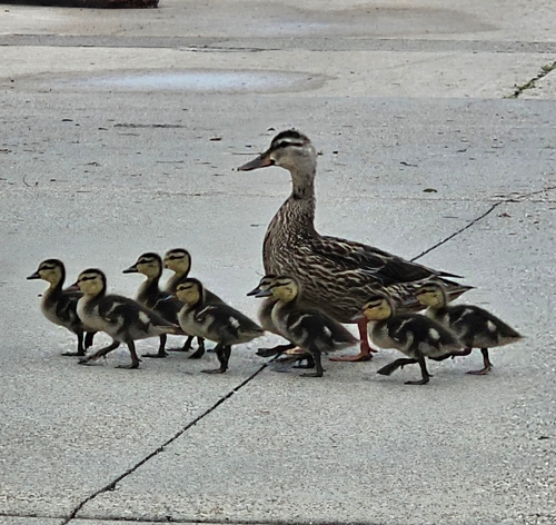
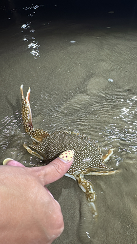
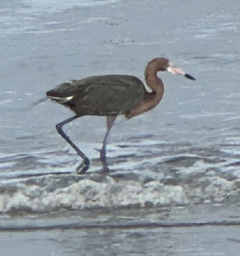
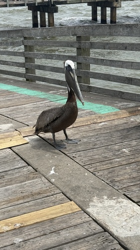
Research-grade observations from iNaturalist (within ~15 mi).
Nearest stream gauge
Live readings from USGS NWIS · measured 2026-10-16 23:00 UTC.
Events
Gallery
Geotagged photos within ~6 miles of Galveston, from Wikimedia Commons contributors.
 0.2 mi
 0.2 mi
 0.4 mi
 0.4 mi
 0.5 mi
 0.5 mi
 0.5 mi
 0.5 mi
 0.8 mi
 0.8 mi
 0.9 mi
 0.9 mi
 0.9 mi
 0.9 mi
 0.9 mi
 1 mi
1 mi.jpg) 1 mi
1 mi.jpg) 1 mi
1 mi 1 mi
1 mi.jpg) 1.1 mi
1.1 mi.jpg) 1.1 mi
1.1 mi 1.2 mi
 1.2 mi
 1.2 mi
Photos via Wikimedia Commons — see each image page for license & attribution.
Sources
- • Wikipedia
- • US Census Bureau (ACS 5-year estimates)
- • NOAA National Weather Service
- • Wikimedia Commons
- • Wikidata
- • Open-Meteo Air Quality (CAMS)
- • USGS Earthquake Catalog (global feed)
- • USGS NWIS (water data)
- • NCES via Urban Institute Education Data Portal
- • GBIF (Global Biodiversity Information Facility)
- • iNaturalist
- • CDC PLACES
- • Open-Meteo / sunrise-sunset.org
- • Wikipedia Pageviews API
- • Open Library
- • NASA EONET