Browse / United States / Texas / Tyler
Tyler
Texascity

Tyler
Total population
112,204
Median home value
$262,800
Bachelor's+
Median income
$70,101
Founded
1846
Air quality index
Demographic figures from US Census Bureau · ACS 5-year estimates. Overview below cites Wikipedia and may reference a different year.
- Red Flag Warning · SevereRed Flag Warning issued October 16 at 11:41AM CDT until October 17 at 1:00AM CDT by NWS Shreveport LA
- Wind Advisory · ModerateWind Advisory issued October 16 at 4:48AM CDT until October 17 at 1:00AM CDT by NWS Shreveport LA
Source: NOAA National Weather Service.
City facts
Sister cities
Facts from Wikidata (CC0).
Overview
Tyler is a city in and the county seat of Smith County, Texas, United States. As of 2020, the population is 105,995. Tyler is the 38th most populous city in Texas and 289th in the United States. It is the principal city of the Tyler metropolitan statistical area, which is the 198th most populous metropolitan area in the U.S. and 16th in Texas after Waco and the College Station–Bryan areas, with a population of 233,479 in 2020. The city is named for John Tyler, the tenth President of the United States.
Read more on WikipediaHistory & geography
History
Legal recognition of Tyler was initiated by an act of the state legislature on April 11, 1846. The Texas government created Smith County and authorized a county seat. The first plat designated a 28-block town site centered by a main square within a tract acquired by Smith County on 6 February 1847. The new town was named for President John Tyler, who advocated for the annexation of Texas by the United States. A log building on the square's north side served as a courthouse and public meeting hall until a brick courthouse displaced it in . The City of Tyler was incorporated on January 29, 1850. Early religious and social institutions included the First Baptist Church and a Methodist church, a Masonic lodge and an Odd Fellows lodge, and Tyler's first newspaper. Though Tyler's early economy from – was based on agriculture, it was also well-diversified during this period. Logging was a second major industry, while complementary manufacturing included metalworking, milling wood, and leather tanning. As the seat of Smith County, the town also benefited from government activity. The local agricultural economy relied on slave labor before the Civil War. In 1860, the population of enslaved people in Smith County was 4,982, the 4th most in east Texas. By 1860, Tyler held over 1,000 enslaved persons, which represented 35 percent of the town's population. There was strong support for secession and the Confederacy within Tyler, as a high percentage of its residents voted for secession and many of its men served in the Confederate States Army. The town was a secure enough location during the war for the Trans-Mississippi Department to establish the Tyler Ordnance Works for the resupply of its forces west of the Mississippi River. In 1870, Bonner and Williams established Tyler's…
Geography
The city of Tyler is in the Southern United States, in Northeast Texas. It is sometimes considered part of the wider Ark-La-Tex region where Arkansas, Louisiana, and Texas meet. The city is approximately from Longview; from Marshall; from Dallas; from Texarkana; from the state capital of Austin; and from Shreveport, Louisiana. Tyler is the seat of government of Smith County, and is surrounded by many suburban communities, including Whitehouse, Lindale, New Chapel Hill, Bullard, Edom, Brownsboro, Kilgore, Flint, and Chandler. According to the United States Census Bureau, the city has an area of , of which is land and is covered by water. Tyler is the principal city of the Greater Tyler metropolitan area, and a principal city in the Tyler–Longview area, a conurbation of the Tyler and Longview metropolitan and combined statistical areas. Downtown architecture features the Art Deco and neoclassical styles, many dating from the 19th and early 20th centuries. Modernist- and postmodernist-era structures are also present throughout the cityscape. Central Tyler is anchored by Brick Streets Historic District and Charnwood Residential Historic District, areas characterized by dense retail, restaurants, nightlife, and historic landmarks. Brick Streets Historic District is the largest geographic area of Tyler. It encompasses 29 blocks and primarily consists of buildings constructed in the 1900s. The district area is predominantly residential though it sometimes serves as a mix-use district. Brick Streets Historic District has brick-paved streets and stone-lined drainage channels. Nearby, Charnwood is Tyler's first historic district. It comprises 12 blocks of late 19th and early 20th century architecture. Tyler experiences weather typical of East Texas. The region is…
Excerpted from the corresponding Wikipedia article (CC BY-SA).
Demographics & economy
Race & ethnicity
Source: US Census Bureau — American Community Survey, 5-year estimates.
Geography
Coordinates & boundaries from the US Census TIGER/Line shapefiles.
Climate
Current forecast
Forecast for Tyler, TX from NOAA NWS API.
Air quality
Current readings from Open-Meteo Air Quality API (Copernicus CAMS European reanalysis).
Industrial & pollution facilities
Natural hazard risk
Health (adults)
Walkability
Amenities nearby
Wildlife & biodiversity
Most-observed species
- Northern CardinalCardinalis cardinalis (Linnaeus, 1758) · Aves4,807
- Blue JayCyanocitta cristata (Linnaeus, 1758) · Aves3,646
- Carolina WrenThryothorus ludovicianus (Latham, 1790) · Aves3,530
- Carolina ChickadeePoecile carolinensis (Audubon, 1834) · Aves3,372
- Tufted TitmouseBaeolophus bicolor (Linnaeus, 1766) · Aves2,934
- Northern MockingbirdMimus polyglottos (Linnaeus, 1758) · Aves2,841
- American CrowCorvus brachyrhynchos C.L.Brehm, 1822 · Aves2,725
- Red-bellied WoodpeckerMelanerpes carolinus (Linnaeus, 1758) · Aves2,704
Citizen-science & research observations from the Global Biodiversity Information Facility (GBIF).
Schools
Earthquake history
Most recent
- M 3.5 — 2025-03-2913 km NNE of Wells, Texas
- M 3.1 — 2021-12-2912 km W of Nacogdoches, Texas
- M 2.5 — 2020-03-236 km NW of Timpson, Texas
- M 2.6 — 2019-07-276 km SSW of Timpson, Texas
- M 2.5 — 2018-09-121 km SSE of Timpson, Texas
- M 3.5 — 2018-09-047 km NNW of Timpson, Texas
Events from the USGS Earthquake Catalog (global) (FDSN Event Web Service).
Photos
Sights & places nearby
Notable people from here


People born within ~10 km, from Wikidata (CC0). Click any name for their Wikipedia article.
Nearby places in Texas
- Lindale13.6 mi away
- Arp16.1 mi away · pop. 1,111
- Berryville18.4 mi away · pop. 1,184
- Hawkins19.9 mi away · pop. 1,876
- Cuney20.4 mi away · pop. 161
- Kilgore26.6 mi away · pop. 13,470
- Holly Lake Ranch28.1 mi away
- Clarksville City28.4 mi away · pop. 883
- Gallatin30.4 mi away · pop. 384
- Grand Saline34.4 mi away · pop. 3,203
- Gilmer35.5 mi away · pop. 5,025
- Canton36.4 mi away · pop. 4,545
Geography & sun
Elevation, sunrise/sunset and daylight from Open-Meteo. Solar climatology from NASA POWER.
Nearby airports
Public attention
Pageview totals from the Wikimedia Pageviews API.
Books about Tyler



Search results from Open Library.
Recent natural events nearby
- Wildfire Tram Trail, Pushmataha, OklahomaWildfires · 2026-09-14 · 136 mi
- Wildfire Hydra, Bosque, TexasWildfires · 2026-09-14 · 141 mi
- Wildfire Alexander Trail Fire, Pushmataha, OklahomaWildfires · 2026-08-30 · 149 mi
- Wildfire Alexander Trail, Pushmataha, OklahomaWildfires · 2026-08-30 · 149 mi
- Wildfire Snake Mountain, Pushmataha, OklahomaWildfires · 2026-08-14 · 150 mi
- Wildfire Atoka Lake, Atoka, OklahomaWildfires · 2026-09-14 · 152 mi
- Wildfire Buck Creek, Pushmataha, OklahomaWildfires · 2026-08-25 · 152 mi
- Prescribed Fire RX CALV BU 104-108, Vernon, LouisianaWildfires · 2026-09-16 · 157 mi
Wildfires, storms and other events from NASA EONET (last 12 months, within 250 mi).
Ground air-quality sensors
Recently spotted species
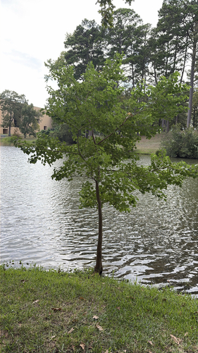
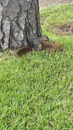
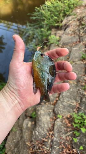
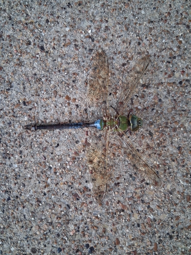
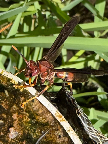
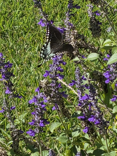

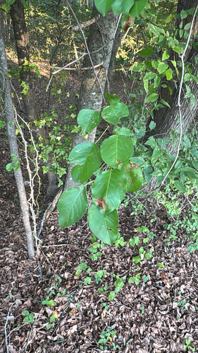
Research-grade observations from iNaturalist (within ~15 mi).
Nearest stream gauge
Events
Gallery
Sources
- • Wikipedia
- • US Census Bureau (ACS 5-year estimates)
- • NOAA National Weather Service
- • Wikidata
- • Open-Meteo Air Quality (CAMS)
- • USGS Earthquake Catalog (global feed)
- • GBIF (Global Biodiversity Information Facility)
- • iNaturalist
- • Open-Meteo / sunrise-sunset.org
- • Wikipedia Pageviews API
- • Open Library
- • NASA EONET