Browse / Uganda / Western / Bundibugyo
Bundibugyo
Westerntown

Featured view
Bundibugyo
Elevation860 m
Coordinates0.71°, 30.06°
Demographic figures from Uganda Bureau of Statistics. Overview below cites Wikipedia and may reference a different year.
Loading additional data from public sources…0 / 11
CensusWikipediaWeatherPlacesPeopleEnvironmentHealth & SchoolsRelatedGeography & CultureLive MonitoringEvents & Gallery
0% completeCity facts
Elevation
860 m
Facts from Wikidata (CC0).
Overview
Bundibugyo is a town in the Western Region of Uganda. It is the chief town of Bundibugyo District and the district headquarters are located there.
Read more on WikipediaHistory & geography
Geography
Latitude
0.7074
Longitude
30.0638
Water area
—
Coordinates & boundaries from the US Census TIGER/Line shapefiles.
Climate
Air quality
Walkability
Amenities nearby
Wildlife & biodiversity
Earthquake history
Photos
Sights & places nearby
Notable people from here

People born within ~10 km, from Wikidata (CC0). Click any name for their Wikipedia article.
Nearby places in Western
- Kasese37 mi away · pop. 101,679
- Buhuka59.5 mi away
- Katerera63 mi away
- Rubirizi68.1 mi away
- Ishaka86.6 mi away
- Bushenyi86.7 mi away · pop. 41,063
- Kakumiro87.2 mi away
- Mbarara99.8 mi away · pop. 195,013
- Hoima102.1 mi away · pop. 100,625
- Kikingura Trading Centre122 mi away
- Rukiga125.8 mi away
- Masindi132.9 mi away · pop. 94,622
Geography & sun
Avg solar (kWh/m²/day)
5.08
Annual solar (kWh/m²)
1,856
Elevation, sunrise/sunset and daylight from Open-Meteo. Solar climatology from NASA POWER.
Nearby airports
Public attention
Wikipedia views (last 30 days)
423
Avg daily Wikipedia views
14
Attention level
Obscure
Pageview totals from the Wikimedia Pageviews API.
Books about Bundibugyo
Search results from Open Library.
Recent natural events nearby
Ground air-quality sensors
Recently spotted species
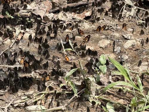
Falls Acraea
Telchinia acerata
Seen 2026-09-07
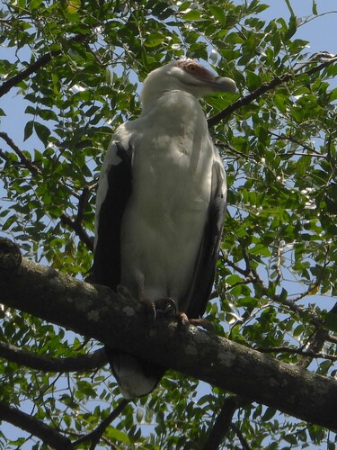
Palm-nut Vulture
Gypohierax angolensis
Seen 2026-08-13
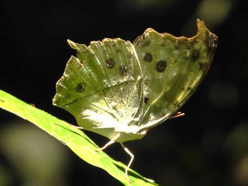
Common Mother-of-Pearl
Protogoniomorpha parhassus
Seen 2026-08-13
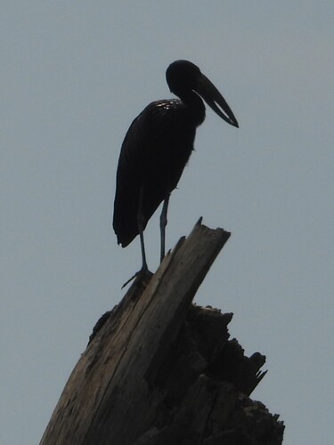
African Openbill
Anastomus lamelligerus
Seen 2026-08-13
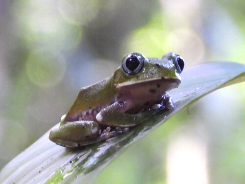
Kisenyi Forest Tree Frog
Leptopelis kivuensis
Seen 2026-08-13
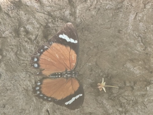
Euphaedra rattrayi
Euphaedra rattrayi
Seen 2026-05-17
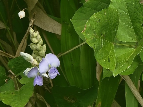
Psophocarpus scandens
Psophocarpus scandens
Seen 2026-05-17
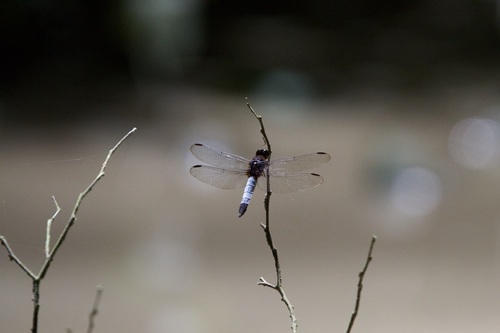
Robust Jungle-skimmer
Hadrothemis coacta
Seen 2026-05-05
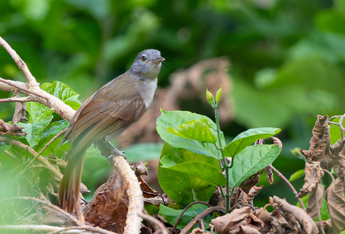
Leaf-love
Phyllastrephus scandens
Seen 2026-04-25
Research-grade observations from iNaturalist (within ~15 mi).
Events
Gallery
Sources
- • Wikipedia
- • Wikidata
- • iNaturalist
- • Open-Meteo / sunrise-sunset.org
- • Wikipedia Pageviews API
- • Open Library