Browse / Uganda / Western / Masindi
Masindi
Westerncity

Masindi
Total population
94,622
Demographic figures from Uganda Bureau of Statistics. Overview below cites Wikipedia and may reference a different year.
City facts
Overview
Masindi is a town in the Western Region of Uganda. It is on the road between Kampala and the Murchison Falls National Park. It is the site of the headquarters of the Masindi District.
Read more on WikipediaHistory & geography
History
As capital of Bunyoro, Masindi was visited by Samuel and Florence Baker, British explorers and anti-slavery campaigners, from 25 April 1872 to 14 June 1873. The Baker expedition was forced to withdraw because of the hostility of the Omukama Kabaléga, the King of Bunyoro at the time. The White Fathers founded here a mission in the 1910s. The town was developed as a commercial centre due to trade in cotton during the second half of the 19th century. During World War II, Masindi was the location of the second-largest refugee camp for Poles escaping from Soviet-occupied Poland in East Africa. There were 3,635 people, including 1,759 children. There was a Polish preschool, three primary schools, a general education liceum and a vocational school for girls. Two Polish newspapers were issued in Masindi, Czuj Duch and Brzask.
Excerpted from the corresponding Wikipedia article (CC BY-SA).
Geography
Coordinates & boundaries from the US Census TIGER/Line shapefiles.
Climate
Air quality
Walkability
Amenities nearby
Wildlife & biodiversity
Most-observed species
- Common BulbulPycnonotus barbatus (Desfontaines, 1789) · Aves668
- White-thighed HornbillBycanistes albotibialis (Cabanis & Reichenow, 1877) · Aves615
- Black-and-white-casqued HornbillBycanistes subcylindricus (P.L.Sclater, 1871) · Aves608
- Bronze mannikinLonchura cucullata (Swainson, 1837) · Aves559
- African Pygmy-KingfisherIspidina picta (Boddaert, 1783) · Aves534
- Speckled MousebirdColius striatus J.F.Gmelin, 1789 · Aves504
- Yellow-mantled WidowbirdEuplectes macroura (Gmelin, 1789) · Aves421
- Red-faced CisticolaCisticola erythrops (Hartlaub, 1857) · Aves420
Citizen-science & research observations from the Global Biodiversity Information Facility (GBIF).
Earthquake history
Most recent
- M 4.4 — 2026-05-3127 km N of Nakasongola, Uganda
- M 4.3 — 2023-04-0823 km SSW of Buliisa, Uganda
- M 4.5 — 2020-06-0847 km W of Kigorobya, Uganda
- M 4.5 — 2019-04-0322 km NW of Kigorobya, Uganda
- M 4.7 — 2017-02-2526 km W of Hoima, Uganda
- M 4.2 — 2015-11-2430 km W of Hoima, Uganda
Events from the USGS Earthquake Catalog (global) (FDSN Event Web Service).
Photos
Sights & places nearby
Notable people from here


People born within ~10 km, from Wikidata (CC0). Click any name for their Wikipedia article.
Nearby places in Western
- Kikingura Trading Centre14.4 mi away
- Hoima30.9 mi away · pop. 100,625
- Bulisa36.7 mi away
- Kakumiro68.2 mi away
- Buhuka74.4 mi away
- Kibaale76.7 mi away · pop. 7,600
- Ntoroko92.7 mi away
- Fort Portal122.4 mi away · pop. 54,275
- Bundibugyo132.9 mi away
- Kasese153.9 mi away · pop. 101,679
- Igorora154.7 mi away
- Katerera168.5 mi away
Geography & sun
Elevation, sunrise/sunset and daylight from Open-Meteo. Solar climatology from NASA POWER.
Nearby airports
Public attention
Pageview totals from the Wikimedia Pageviews API.
Books about Masindi
Search results from Open Library.
Recent natural events nearby
Ground air-quality sensors
Recently spotted species
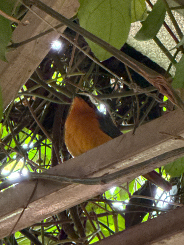
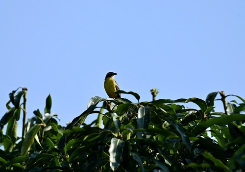
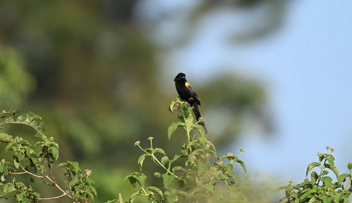
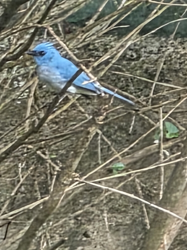
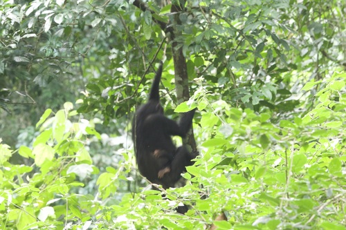
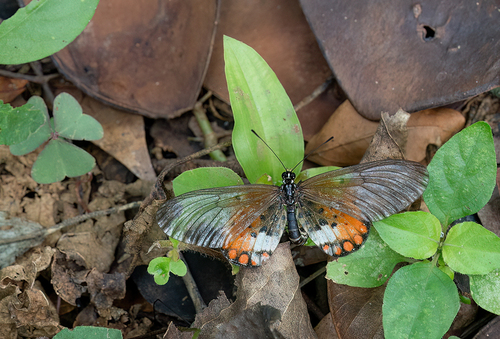
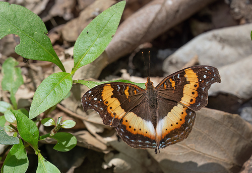
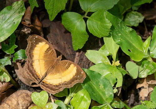
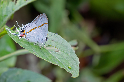
Research-grade observations from iNaturalist (within ~15 mi).
Events
Gallery
Sources
- • Wikipedia
- • Wikidata
- • USGS Earthquake Catalog (global feed)
- • GBIF (Global Biodiversity Information Facility)
- • iNaturalist
- • Open-Meteo / sunrise-sunset.org
- • Wikipedia Pageviews API
- • Open Library