Browse / Uganda / Western / Ntoroko
Ntoroko
Westerntown
Air quality index
Demographic figures from Uganda Bureau of Statistics. Overview below cites Wikipedia and may reference a different year.
City facts
Facts from Wikidata (CC0).
Overview
Ntoroko is a town officially known as Kanara Town Council in Ntoroko District Western Uganda. It is one of the four town councils of Ntoroko District the others being Karugutu, Rwebisengo and Kibuku Town Council. Ntoroko is the largest fishing town on the southern Mwitanzige shore. Its located on the Ntoroko bay extending from Kanara Fishing village to the western half of the Ntoroko Peninsula. The peninsular also separates Ntoroko bay from the Muziizi Bay. By Road, Ntoroko town is approximately 84 km Northwest of Fort Portal City, the regional Capital and approximately 79 km via Karugutu, north of Kibuku Town Council the District Capital. Ntoroko/Kanara Town Council is settled by many ethnicities, the largest being;Rwenzori Peoples; Batooro/Batuku, Bakonzo, Bamba, Babwisi. Bunyoro peoples; Bagangaizi, Bagungu and other Banyoro. Alur, Lendu and Ngite. Congolese of the Western Mwitanzige shore; Alur, Gegere, Nande, to mention but a few.
Read more on WikipediaHistory & geography
Geography
Coordinates & boundaries from the US Census TIGER/Line shapefiles.
Climate
Air quality
Current readings from Open-Meteo Air Quality API (Copernicus CAMS European reanalysis).
Walkability
Amenities nearby
Wildlife & biodiversity
Most-observed species
- Pied KingfisherCeryle rudis (Linnaeus, 1758) · Aves19
- Rüppell's StarlingLamprotornis purpuroptera Rüppell, 1845 · Aves13
- Black-headed GonolekLaniarius erythrogaster (Cretzschmar, 1829) · Aves12
- Woodland KingfisherHalcyon senegalensis (Linnaeus, 1766) · Aves12
- Abyssinian Ground-HornbillBucorvus abyssinicus (Boddaert, 1783) · Aves11
- Common BulbulPycnonotus barbatus (Desfontaines, 1789) · Aves11
- Marabou StorkLeptoptilos crumenifer (R.P.Lesson, 1831) · Aves11
- Black-headed HeronArdea melanocephala Children & Vigors, 1826 · Aves10
Citizen-science & research observations from the Global Biodiversity Information Facility (GBIF).
Earthquake history
Most recent
- M 4.5 — 2024-08-0316 km NNE of Kamwenge, Uganda
- M 4.4 — 2023-03-0423 km N of Kasese, Uganda
- M 4.5 — 2023-03-0421 km N of Kasese, Uganda
- M 4.5 — 2023-03-0418 km SSE of Bundibugyo, Uganda
- M 3.6 — 2022-08-112 km SSW of Fort Portal, Uganda
- M 4.3 — 2022-02-1655 km W of Kigorobya, Uganda
Events from the USGS Earthquake Catalog (global) (FDSN Event Web Service).
Photos
Sights & places nearby
Notable people from here
Nearby places in Western
Geography & sun
Elevation, sunrise/sunset and daylight from Open-Meteo. Solar climatology from NASA POWER.
Nearby airports
Public attention
Pageview totals from the Wikimedia Pageviews API.
Books about this place
Recent natural events nearby
Ground air-quality sensors
Recently spotted species
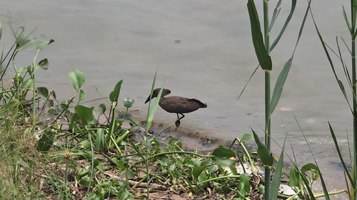
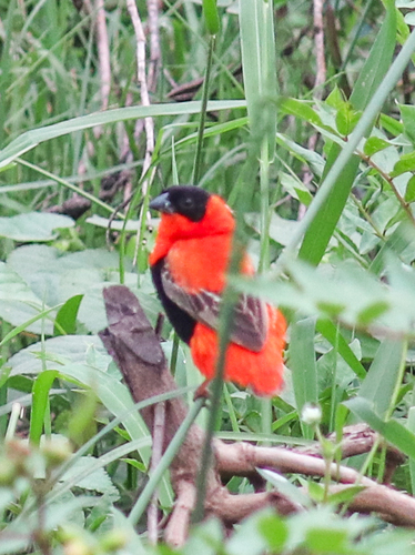
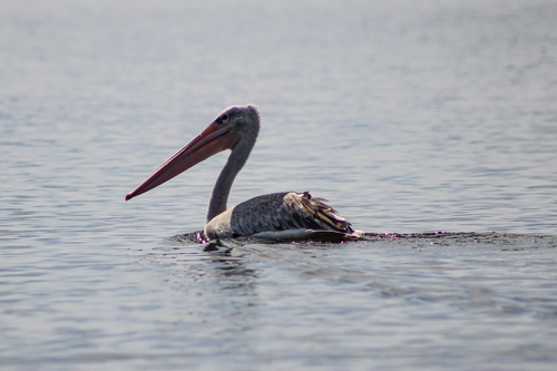
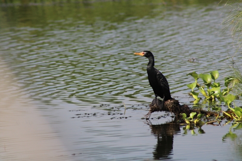
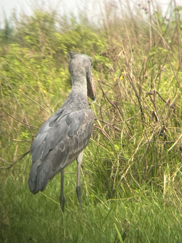
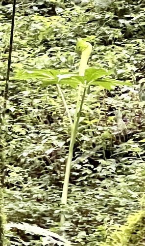
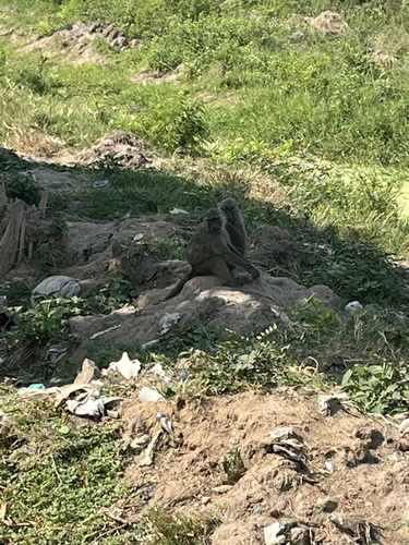
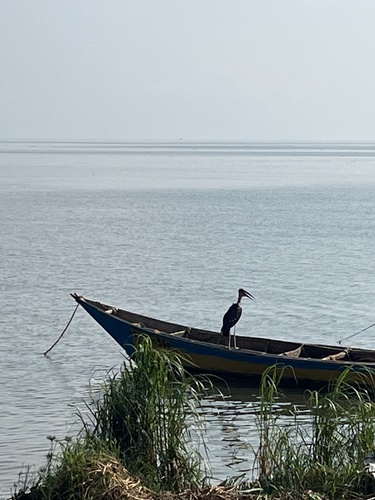
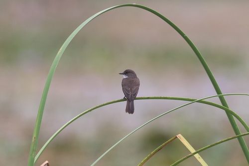
Research-grade observations from iNaturalist (within ~15 mi).
Events
Gallery
Sources
- • Wikipedia
- • Wikidata
- • Open-Meteo Air Quality (CAMS)
- • USGS Earthquake Catalog (global feed)
- • GBIF (Global Biodiversity Information Facility)
- • iNaturalist
- • Open-Meteo / sunrise-sunset.org
- • Wikipedia Pageviews API