Browse / Uganda / Western / Kyenjojo
Kyenjojo
Westerntown
Air quality index
Demographic figures from Uganda Bureau of Statistics. Overview below cites Wikipedia and may reference a different year.
City facts
Facts from Wikidata (CC0).
Overview
Kyenjojo is a town in the Western Region of Uganda. It is the main municipal, administrative, and commercial center of Kyenjojo District and the site of the district headquarters.
Read more on WikipediaHistory & geography
Geography
Coordinates & boundaries from the US Census TIGER/Line shapefiles.
Climate
Air quality
Current readings from Open-Meteo Air Quality API (Copernicus CAMS European reanalysis).
Walkability
Amenities nearby
Wildlife & biodiversity
Most-observed species
- Black-headed HeronArdea melanocephala Children & Vigors, 1826 · Aves47
- Red-eyed DoveStreptopelia semitorquata (Rüppell, 1837) · Aves43
- Northern Gray-headed SparrowPasser griseus (Vieillot, 1817) · Aves39
- Angola SwallowHirundo angolensis Bocage, 1868 · Aves34
- chimpanzeePan troglodytes (Blumenbach, 1775) · Mammalia33
- Striped KingfisherHalcyon chelicuti (Stanley, 1814) · Aves33
- Village WeaverPloceus cucullatus (Statius Muller, 1776) · Aves32
- Laughing DoveSpilopelia senegalensis (Linnaeus, 1766) · Aves31
Citizen-science & research observations from the Global Biodiversity Information Facility (GBIF).
Earthquake history
Most recent
- M 4.5 — 2024-08-0316 km NNE of Kamwenge, Uganda
- M 4.4 — 2023-03-0423 km N of Kasese, Uganda
- M 4.5 — 2023-03-0421 km N of Kasese, Uganda
- M 4.5 — 2023-03-0418 km SSE of Bundibugyo, Uganda
- M 4.6 — 2023-02-281 km NW of Kilembe, Uganda
- M 3.6 — 2022-08-112 km SSW of Fort Portal, Uganda
Events from the USGS Earthquake Catalog (global) (FDSN Event Web Service).
Photos
Sights & places nearby
Notable people from here

People born within ~10 km, from Wikidata (CC0). Click any name for their Wikipedia article.
Nearby places in Western
- Kibaale31.6 mi away · pop. 7,600
- Bundibugyo40.6 mi away
- Buhuka43.9 mi away
- Kakumiro48.5 mi away
- Kasese49 mi away · pop. 101,679
- Igorora57.9 mi away
- Katerera64.8 mi away
- Rubirizi71.6 mi away
- Hoima74.9 mi away · pop. 100,625
- Mbarara84.4 mi away · pop. 195,013
- Bushenyi85.6 mi away · pop. 41,063
- Ishaka87.1 mi away
Geography & sun
Elevation, sunrise/sunset and daylight from Open-Meteo. Solar climatology from NASA POWER.
Nearby airports
Public attention
Pageview totals from the Wikimedia Pageviews API.
Books about this place
Recent natural events nearby
Ground air-quality sensors
Recently spotted species
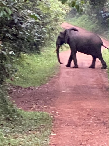
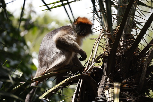
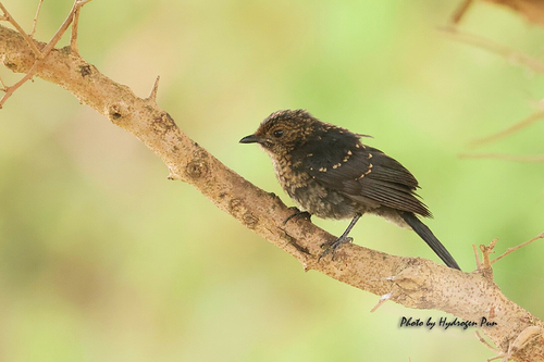
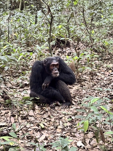
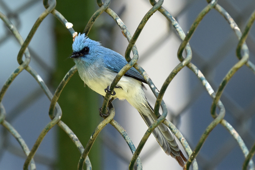
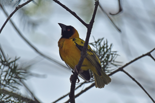
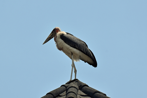
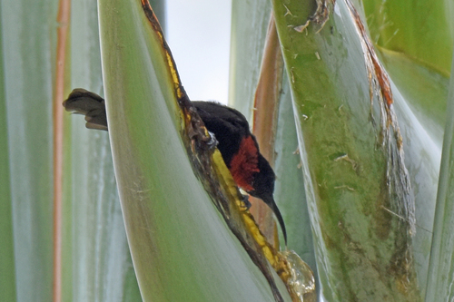
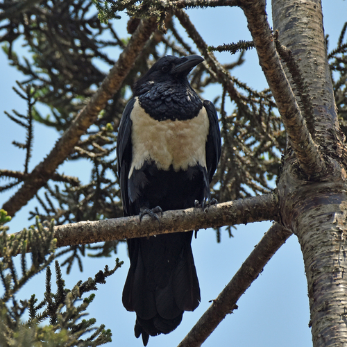
Research-grade observations from iNaturalist (within ~15 mi).
Events
Gallery
Sources
- • Wikipedia
- • Wikidata
- • Open-Meteo Air Quality (CAMS)
- • USGS Earthquake Catalog (global feed)
- • GBIF (Global Biodiversity Information Facility)
- • iNaturalist
- • Open-Meteo / sunrise-sunset.org
- • Wikipedia Pageviews API