Browse / United Kingdom / Scotland / Ardrossan
Ardrossan
Scotlandtown

Ardrossan
Total population
10,952
Air quality index
Demographic figures from UK Office for National Statistics. Overview below cites Wikipedia and may reference a different year.
City facts
Facts from Wikidata (CC0).
Overview
Ardrossan is a town on the North Ayrshire coast in southwestern Scotland. The town has a population of 10,670 and forms part of a conurbation with Saltcoats and Stevenston known as the 'Three Towns'. Ardrossan is located on the east shore of the Firth of Clyde, and is the main terminal of Caledonian MacBrayne ferry services operating from mainland Scotland to the Isle of Arran.
Read more on WikipediaHistory & geography
History
Ardrossan's roots can be traced to the construction of its castle 'Cannon Hill', thought to be in around 1140, by Simon de Morville. The castle and estate passed to the Barclay family (also known as Craig) and through successive heirs until the 14th century when it passed to the Eglinton family on the death of Godfrey Barclay de Ardrossan, who died without an heir. Sir Fergus Barclay, Baron of Ardrossan, was said to be in league with the Devil and in one of his dealings, set the task for the Devil to make ropes from sand; on failing to do so, the Devil kicked the castle with his hoof in frustration and left a petrosomatoglyph hoofprint. The castle stood until 1648, when Oliver Cromwell's troops had it destroyed, taking much of the stonework to Ayr to build the citadel at Montgomerieston. The ruins of Cromwell's Fort still stand, but are overgrown and in a dangerous condition. In 1759, The 10th Earl of Eglinton formed a herd of the ancient breed of White or Chillingham cattle at Ardrossan, probably using stock from the Cadzow herd. The numbers dropped and in 1820 the remaining animals were dispersed. All the animals in the herd were hornless. Ardrossan developed during the 18th and 19th centuries thanks to its position on the coast. Exports of coal and pig iron to Europe and North America were the main trade from the town's port, which became a centre for shipbuilding. Fishing vessels and small cargo boats were the mainstay of the shipyard until the 1950s, when the yard ceased to exist as a result of foreign competition. A smaller yard, McCrindle's, operated until the 1980s before it ceased trading. Passenger services from Ardrossan Harbour to Brodick on the Isle of Arran started in 1834, and services to Belfast, in Ulster in the north of Ireland, and to the Isle of…
Excerpted from the corresponding Wikipedia article (CC BY-SA).
Geography
Coordinates & boundaries from the US Census TIGER/Line shapefiles.
Climate
Air quality
Current readings from Open-Meteo Air Quality API (Copernicus CAMS European reanalysis).
Walkability
Amenities nearby
Wildlife & biodiversity
Most-observed species
- Herring GullLarus argentatus Pontoppidan, 1763 · Aves19,585
- Western JackdawColoeus monedula (Linnaeus, 1758) · Aves17,804
- RookCorvus frugilegus Linnaeus, 1758 · Aves15,117
- Carrion CrowCorvus corone Linnaeus, 1758 · Aves13,261
- House SparrowPasser domesticus (Linnaeus, 1758) · Aves12,863
- Lesser Black-backed GullLarus fuscus Linnaeus, 1758 · Aves10,462
- Common Wood-PigeonColumba palumbus Linnaeus, 1758 · Aves9,950
- European StarlingSturnus vulgaris Linnaeus, 1758 · Aves9,781
Citizen-science & research observations from the Global Biodiversity Information Facility (GBIF).
Earthquake history
Most recent
- M 3.1 — 2021-11-1618 km NW of Lochgilphead, United Kingdom
- M 2.5 — 2018-08-301 km ENE of Gourock, United Kingdom
- M 2.6 — 2017-11-012 km NNW of Tarbert, United Kingdom
- M 3.6 — 2006-12-262 km NW of Dumfries, United Kingdom
- M 2.5 — 2005-12-313 km WSW of Auchterarder, United Kingdom
- M 2.5 — 2003-06-2012 km NNW of Balfron, United Kingdom
Events from the USGS Earthquake Catalog (global) (FDSN Event Web Service).
Photos
Sights & places nearby
Notable people from here


People born within ~10 km, from Wikidata (CC0). Click any name for their Wikipedia article.
Nearby places in Scotland
Geography & sun
Elevation, sunrise/sunset and daylight from Open-Meteo. Solar climatology from NASA POWER.
Nearby airports
Public attention
Pageview totals from the Wikimedia Pageviews API.
Books about Ardrossan

Search results from Open Library.
Recent natural events nearby
Ground air-quality sensors
Recently spotted species
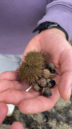
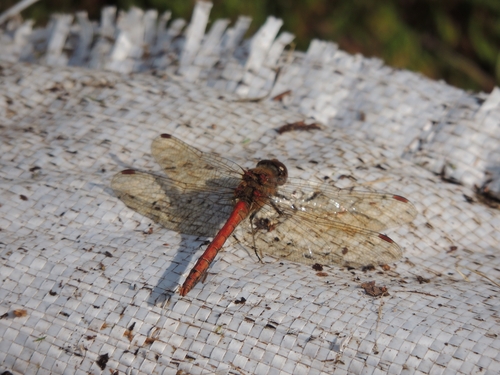
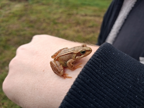
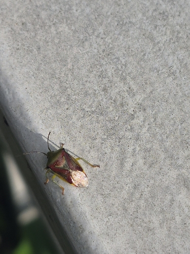
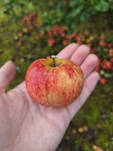
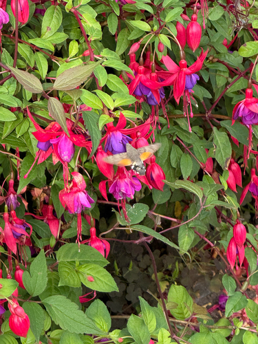
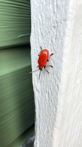
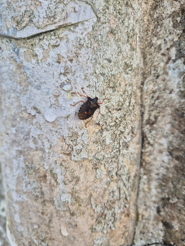
Research-grade observations from iNaturalist (within ~15 mi).
Events
Gallery
Official Identifiers
ONS — UK Office for National Statistics
- ONS code
- osgb4000000074572136
- Local type
- Town
- Region
- Scotland
api.postcodes.io / OS Open Names
Sources
- • Wikipedia
- • Wikidata
- • Open-Meteo Air Quality (CAMS)
- • USGS Earthquake Catalog (global feed)
- • GBIF (Global Biodiversity Information Facility)
- • iNaturalist
- • Open-Meteo / sunrise-sunset.org
- • Wikipedia Pageviews API
- • Open Library
- • Wikidata SPARQL (CC0) — population, area, elevation, inception, head of government, Commons image
- • ONS / OS Open Names — UK official place gazetteer, via api.postcodes.io (OS code, local type, county/unitary, district/borough, region)
- • ONS — UK Office for National Statistics — api.postcodes.io / OS Open Names