Browse / United Kingdom / Wales / Barry
Barry
Walestown

Barry
Total population
54,673
Founded
1884
Demographic figures from UK Office for National Statistics. Overview below cites Wikipedia and may reference a different year.
City facts
Sister cities
Facts from Wikidata (CC0).
Overview
Barry is a coastal town and community in the Vale of Glamorgan, Wales. It is on the north coast of the Bristol Channel approximately 9 miles (14 km) south-southwest of Cardiff. Barry is a seaside resort, with attractions including several beaches and the resurrected Barry Island Pleasure Park. According to the 2021 census, the population of Barry was 56,605.
Read more on WikipediaHistory & geography
History
The area now occupied by Barry has seen human activity in many periods of history. Mesolithic or Middle Stone Age microlith flint tools have been found at Friars Point on Barry Island and near Wenvoe and Neolithic or New Stone Age polished stone axe-heads were discovered in St. Andrews Major. A cinerary urn (pottery urn buried with cremation ashes) was found on Barry Island during excavations of Bronze Age barrows and two more were found in a barrow at Cold Knap Point. A large defended enclosure or Iron Age promontory hillfort was located at the Bulwarks at Porthkerry and there was evidence of the existence of an early Iron Age farmstead during construction of Barry College off Colcot Road. In Roman times farmsteads existed on the site of Barry Castle and Biglis and there were verbal reports of discovery of a cemetery including lead coffins with scallop-shell decoration. Both St. Baruc's Chapel and St. Nicholas Church have re-used Roman bricks and tiles incorporated in their building fabric and a Roman villa was discovered in Llandough. In 1980 a Roman building consisting of 22 rooms and cellars in four ranges around a central courtyard was excavated at Glan-y-môr and is believed to be a third-century building associated with naval activity, maybe a supply depot. The Vikings launched raids in the area and Barry Island was known to be a raider base in 1087. Flat Holm and Steep Holm islands in the Bristol Channel have their name Holm name derived from a Scandinavian word for an island in an estuary. The excavation of the Glan-y-môr site revealed the site had been reused in the 6th and 7th century and also between AD 830 and 950 as a dry stone sub-rectangular building with a turf or thatched roof. Following the Norman Conquest of England the area was divided into…
Excerpted from the corresponding Wikipedia article (CC BY-SA).
Geography
Coordinates & boundaries from the US Census TIGER/Line shapefiles.
Climate
Air quality
Walkability
Amenities nearby
Wildlife & biodiversity
Earthquake history
Photos
Sights & places nearby
Notable people from here


People born within ~10 km, from Wikidata (CC0). Click any name for their Wikipedia article.
Nearby places in Wales
- Dinas Powys3 mi away
- Llandough4.2 mi away
- Llandough8.3 mi away
- Pontypridd13.8 mi away · pop. 30,457
- Southerndown15.2 mi away · pop. 280
- Porth15.5 mi away · pop. 14,648
- Treharris17.9 mi away · pop. 12,352
- Wyndham18.6 mi away
- Llanfrechfa20 mi away · pop. 120
- Llanmartin21.5 mi away
- Parc Seymour23 mi away · pop. 744
- Coed-y-paen23 mi away
Geography & sun
Nearby airports
Public attention
Books about this place
Recent natural events nearby
Ground air-quality sensors
Recently spotted species
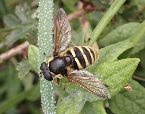
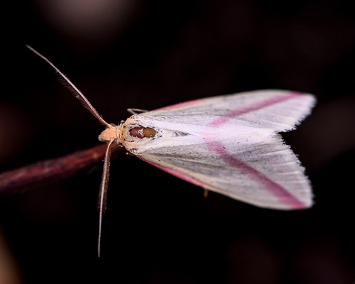
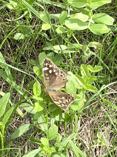
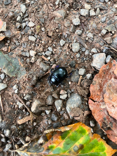
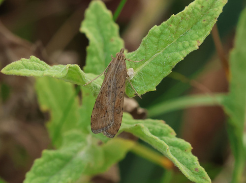
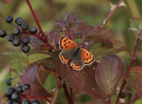
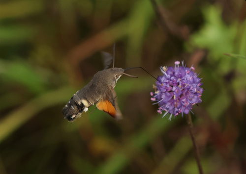
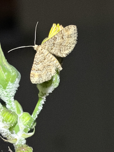
Research-grade observations from iNaturalist (within ~15 mi).
Events
Gallery
Official Identifiers
ONS — UK Office for National Statistics
- ONS code
- W04000650
- Population (Wikidata)
- 47,863
- Wikidata
- Q809009
api.postcodes.io / OS Open Names
Sources
- • Wikipedia
- • Wikidata
- • iNaturalist
- • Wikidata SPARQL (CC0) — population, area, elevation, inception, head of government, Commons image
- • ONS / OS Open Names — UK official place gazetteer, via api.postcodes.io (OS code, local type, county/unitary, district/borough, region)
- • ONS — UK Office for National Statistics — api.postcodes.io / OS Open Names