Browse / United Kingdom / Scotland / Bishopbriggs
Bishopbriggs
Scotlandtown

Bishopbriggs
Total population
23,680
Demographic figures from UK Office for National Statistics. Overview below cites Wikipedia and may reference a different year.
City facts
Overview
Bishopbriggs is a town in East Dunbartonshire, Scotland. It lies on the northern fringe of Greater Glasgow, approximately 4 miles (6 km) from the city centre. Historically in Lanarkshire, the area was once part of the historic parish of Cadder - originally lands granted by King William the Lion to the Bishop of Glasgow, Jocelin, in 1180. It was later part of the county of Lanarkshire, and then an independent burgh from 1964 to 1975. Today, Bishopbriggs' close geographic proximity to Glasgow now effectively makes it a suburb and commuter town of the city.
Read more on WikipediaHistory & geography
History
Bishopbriggs' history stretches at least to Roman times, as Cadder was a Roman fort on the Antonine Wall, the furthest and most northerly boundary of the Roman Empire. As early as 1568, reference is made to a path northwards from Glasgow as the 'common passage to Bischopis Briggis'. Bishopbriggs was first documented in the Cadder Parish records of 1655, and was recorded to have had only eleven residents in the mid-18th century. Even more than a century later, after substantial growth, the village was still being referred to in the terms of the larger settlement of Cadder. By 1793, the introduction of new farming techniques had improved yields. While crops such as oats, barley, potatoes and flax flourished, Cadder's population fared less well; a decrease of around 600 from the mid-1760s was attributed to new agricultural methods which combined smaller farms or Run rigs and swept away independent tenants, known as the Lowland Clearances. By 1836 there were 'almost no cotters' with the largest farms employing no more than ten people, and some of those only as maid servants. Land reclamation (through drainage) changed the landscape so that crops could grow, where once there was only marshland. Dairy farming was relied upon to cover ground rents. With the completion of the Forth and Clyde Canal in 1790, the area began to attract ironstone and coal mining industry. The Carron Company, became the area's main employer, building the mining villages of Mavis Valley and Jellyhill to accommodate its workers. From there, the Forth and Clyde Canal formed a convenient and direct transport link with their famous ironworks near Falkirk. There were also freestone quarries established at Coltpark (Colston), Crowhill, Huntershill and Kenmure. Development during the 19th century was…
Excerpted from the corresponding Wikipedia article (CC BY-SA).
Geography
Coordinates & boundaries from the US Census TIGER/Line shapefiles.
Climate
Air quality
Walkability
Amenities nearby
Wildlife & biodiversity
Most-observed species
- Eurasian MagpiePica pica (Linnaeus, 1758) · Aves5,869
- Common Wood-PigeonColumba palumbus Linnaeus, 1758 · Aves5,549
- Carrion CrowCorvus corone Linnaeus, 1758 · Aves5,022
- European RobinErithacus rubecula (Linnaeus, 1758) · Aves4,395
- Eurasian BlackbirdTurdus merula Linnaeus, 1758 · Aves3,934
- Eurasian Blue TitCyanistes caeruleus (Linnaeus, 1758) · Aves3,861
- MallardAnas platyrhynchos Linnaeus, 1758 · Aves3,756
- Lesser Black-backed GullLarus fuscus Linnaeus, 1758 · Aves3,636
Citizen-science & research observations from the Global Biodiversity Information Facility (GBIF).
Earthquake history
Most recent
- M 3.5 — 2026-04-1642 km WNW of Comrie, United Kingdom
- M 3.9 — 2025-10-2029 km NW of Comrie, United Kingdom
- M 3.1 — 2021-11-1618 km NW of Lochgilphead, United Kingdom
- M 2.5 — 2018-08-301 km ENE of Gourock, United Kingdom
- M 2.6 — 2017-11-012 km NNW of Tarbert, United Kingdom
- M 3.6 — 2006-12-262 km NW of Dumfries, United Kingdom
Events from the USGS Earthquake Catalog (global) (FDSN Event Web Service).
Photos
Sights & places nearby
Notable people from here
Nearby places in Scotland
Geography & sun
Elevation, sunrise/sunset and daylight from Open-Meteo. Solar climatology from NASA POWER.
Nearby airports
Public attention
Pageview totals from the Wikimedia Pageviews API.
Books about Bishopbriggs

Search results from Open Library.
Recent natural events nearby
Ground air-quality sensors
Recently spotted species
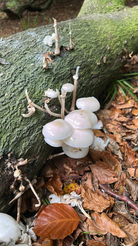
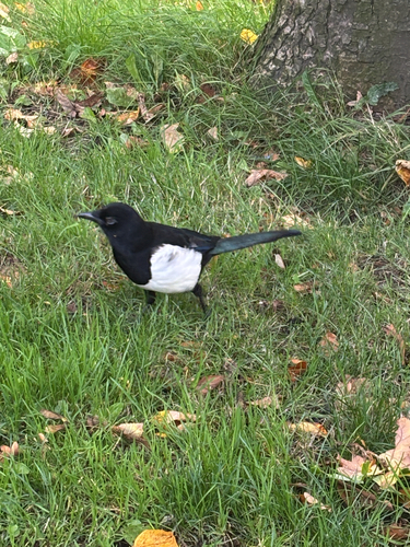
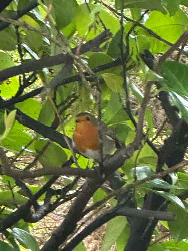

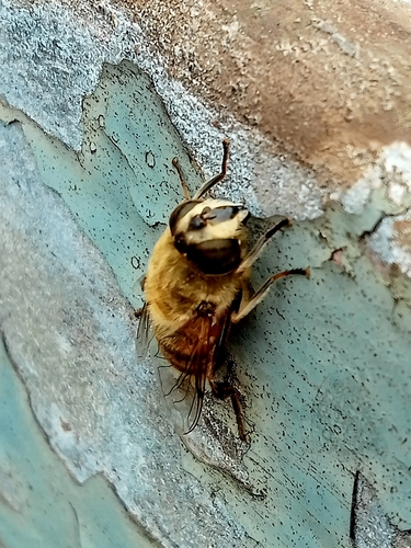

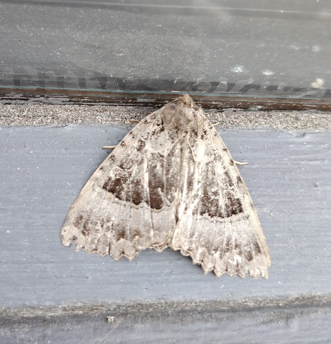
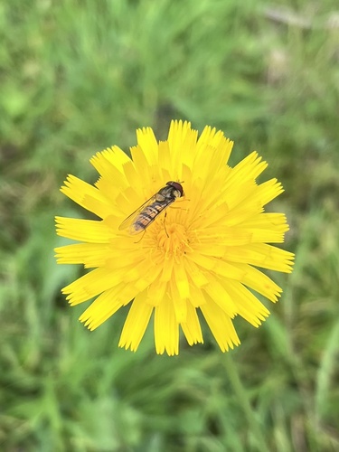
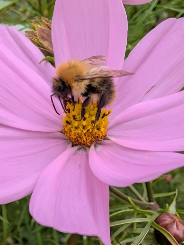
Research-grade observations from iNaturalist (within ~15 mi).
Events
Gallery
Official Identifiers
ONS — UK Office for National Statistics
- ONS code
- osgb4000000074540938
- Local type
- Town
- Region
- Scotland
api.postcodes.io / OS Open Names
Sources
- • Wikipedia
- • USGS Earthquake Catalog (global feed)
- • GBIF (Global Biodiversity Information Facility)
- • iNaturalist
- • Open-Meteo / sunrise-sunset.org
- • Wikipedia Pageviews API
- • Open Library
- • Wikidata SPARQL (CC0) — population, area, elevation, inception, head of government, Commons image
- • ONS / OS Open Names — UK official place gazetteer, via api.postcodes.io (OS code, local type, county/unitary, district/borough, region)
- • ONS — UK Office for National Statistics — api.postcodes.io / OS Open Names