Browse / United Kingdom / Scotland / Bonhill
Bonhill
Scotlandtown

Bonhill
Total population
9,180
Demographic figures from UK Office for National Statistics. Overview below cites Wikipedia and may reference a different year.
City facts
Overview
Bonhill is a town in the Vale of Leven area of West Dunbartonshire, Scotland. It is sited on the Eastern bank of the River Leven, on the opposite bank from the larger town of Alexandria.
Read more on WikipediaHistory & geography
History
The area is mentioned in a charter of 1225 giving the monks from Paisley Abbey fishing rights on the east bank of the River Leven at the Linbrane pool. Bonhill Parish was noted in a charter of 1270 as "the parish of Buthehille", and the name became Bonyle about 1550, with the variants Binnuill, Bonuil and Bonill appearing before Bonhill was adopted by 1700. In 1650 this small poor parish was enlarged, and since then the Parish has included most of the towns and villages in the Vale of Leven. The village of Bonhill itself featured an early church, and a ford across the River Leven on the drovers' road to Glasgow. The first modern church was built close to the river in 1747, and it was replaced in 1835 by the present Church of Scotland building on the site of an earlier small church. Various churches of other denominations were constructed from 1830, but closed in the 1960s. The textile finishing industry came to Bonhill with a printworks, the Dalmonach Works which started in 1786. It burnt down in 1812, and was rebuilt by Henry Bell. A second textile works opened in 1793, and two more works had begun by 1840. Some closed shortly afterwards, but one lasted to 1936. The Dalmonach Works itself featured a school outside the main gates, serving children from the area as well as children employed in the works. After the works closed in 1929, its buildings were used an army barracks during World War II, and subsequently occupied by various smaller companies before the buildings were demolished in 2006, leaving only the school which remains as a listed building. The town rapidly expanded in the 1960s and 1970s when many residents of Glasgow were moved to "New Bonhill" built on green field sites aimed at facilitating economic expansion and assisting with the removal of…
Excerpted from the corresponding Wikipedia article (CC BY-SA).
Geography
Coordinates & boundaries from the US Census TIGER/Line shapefiles.
Climate
Air quality
Walkability
Amenities nearby
Wildlife & biodiversity
Most-observed species
- Common Wood-PigeonColumba palumbus Linnaeus, 1758 · Aves3,493
- Eurasian MagpiePica pica (Linnaeus, 1758) · Aves3,461
- European RobinErithacus rubecula (Linnaeus, 1758) · Aves3,206
- Carrion CrowCorvus corone Linnaeus, 1758 · Aves3,190
- Eurasian BlackbirdTurdus merula Linnaeus, 1758 · Aves2,773
- eastern gray squirrelSciurus carolinensis Gmelin, 1788 · Mammalia2,672
- Eurasian Blue TitCyanistes caeruleus (Linnaeus, 1758) · Aves2,633
- MallardAnas platyrhynchos Linnaeus, 1758 · Aves2,507
Citizen-science & research observations from the Global Biodiversity Information Facility (GBIF).
Earthquake history
Most recent
- M 3.5 — 2026-04-1642 km WNW of Comrie, United Kingdom
- M 3.9 — 2025-10-2029 km NW of Comrie, United Kingdom
- M 3.1 — 2021-11-1618 km NW of Lochgilphead, United Kingdom
- M 2.5 — 2018-08-301 km ENE of Gourock, United Kingdom
- M 2.6 — 2017-11-012 km NNW of Tarbert, United Kingdom
- M 2.5 — 2005-12-313 km WSW of Auchterarder, United Kingdom
Events from the USGS Earthquake Catalog (global) (FDSN Event Web Service).
Photos
Sights & places nearby
Notable people from here


People born within ~10 km, from Wikidata (CC0). Click any name for their Wikipedia article.
Nearby places in Scotland
Geography & sun
Elevation, sunrise/sunset and daylight from Open-Meteo. Solar climatology from NASA POWER.
Nearby airports
Public attention
Pageview totals from the Wikimedia Pageviews API.
Books about Bonhill
Search results from Open Library.
Recent natural events nearby
Ground air-quality sensors
Recently spotted species
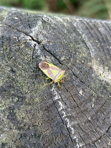
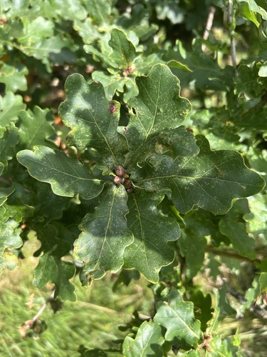
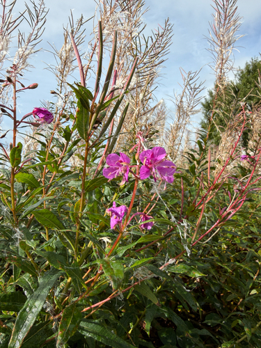
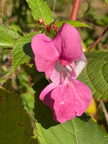
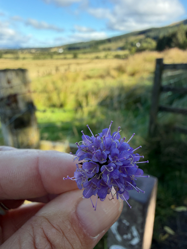
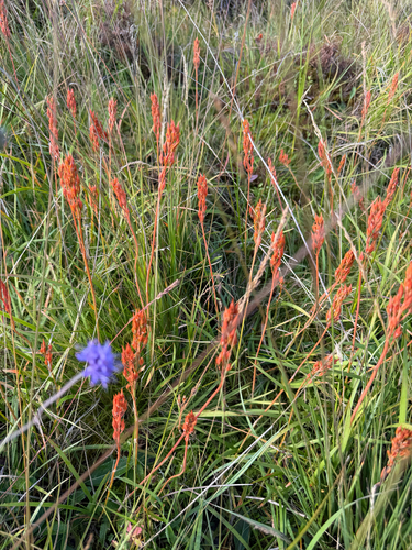
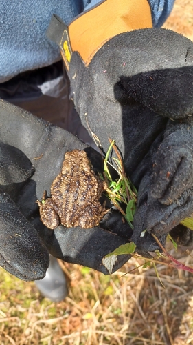
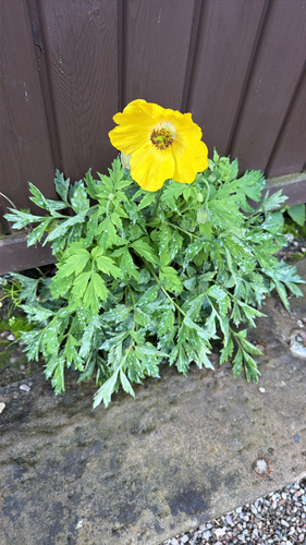
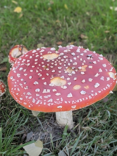
Research-grade observations from iNaturalist (within ~15 mi).
Events
Gallery
Official Identifiers
ONS — UK Office for National Statistics
- ONS code
- osgb4000000074552228
- Local type
- Village
- Region
- Scotland
api.postcodes.io / OS Open Names
Sources
- • Wikipedia
- • Wikidata
- • USGS Earthquake Catalog (global feed)
- • GBIF (Global Biodiversity Information Facility)
- • iNaturalist
- • Open-Meteo / sunrise-sunset.org
- • Wikipedia Pageviews API
- • Open Library
- • ONS / OS Open Names — UK official place gazetteer, via api.postcodes.io (OS code, local type, county/unitary, district/borough, region)
- • ONS — UK Office for National Statistics — api.postcodes.io / OS Open Names