Browse / United Kingdom / England / Brighton
Brighton
Englandcity

Brighton
Total population
256,000
Air quality index
Demographic figures from UK Office for National Statistics. Overview below cites Wikipedia and may reference a different year.
City facts
Sister cities
Facts from Wikidata (CC0).
Overview
Brighton is a seaside resort in the unitary authority area and city of Brighton and Hove, in East Sussex, England, 47 miles (76 km) south of London. Archaeological evidence of settlement in the area dates back to the Bronze Age, Roman and Anglo-Saxon periods. The ancient settlement of "Brighthelmstone" was documented in the Domesday Book (1086). The town's importance grew in the Middle Ages as the Old Town developed, but it languished in the early modern period, affected by foreign attacks, storms, a suffering economy and a declining population. Brighton began to attract more visitors following improved road transport to London and becoming a boarding point for boats travelling to France. The town also developed in popularity as a health resort for sea bathing as a purported cure for illnesses.
Read more on WikipediaHistory & geography
History
The first settlement in the Brighton area was Whitehawk Camp, a Neolithic encampment on Whitehawk Hill which has been dated to between 3500 BC and 2700 BC. It is one of six causewayed enclosures in Sussex. Archaeologists have only partially explored it, but have found numerous burial mounds, tools and bones, suggesting it was a place of some importance. There was also a Bronze Age settlement at Coldean. Brythonic Celts arrived in Britain in the 7th century BC, Later, there was a Roman villa at Preston Village, a Roman road from London ran nearby, and much physical evidence of Roman occupation has been discovered locally. After the Romans left in the early 4th century AD, the Brighton area returned to the control of the native Celts. Anglo-Saxons then invaded in the late 5th century AD, and the region became part of the Kingdom of Sussex, founded in 477 AD by king Ælle. Anthony Seldon identified five phases of development in pre-20th century Brighton. The village of Bristelmestune was founded by these Anglo-Saxon invaders, probably in the early Saxon period. They were attracted by the easy access for boats, sheltered areas of raised land for building and better conditions compared to the damp, cold and misty Weald to the north. By the time of the Domesday survey in 1086 it was a fishing and agricultural settlement, a rent of 4,000 herring was established, and its population was about 400. Sacked and burnt by French invaders in the early 16th century—the earliest depiction of Brighton, a painting of 1520, shows Admiral Pregent de Bidoux's attack of June 1514—the town recovered strongly based on a thriving mackerel-fishing industry. Over the next few decades, though, events severely affected its local and national standing, such that by 1730 "it was a forlorn town…
Geography
Brighton lies between the South Downs and the English Channel to the north and south, respectively. The Sussex coast forms a wide, shallow bay between the headlands of Selsey Bill and Beachy Head; Brighton developed near the centre of this bay around a seasonal river, the Wellesbourne (or Whalesbone), which flowed from the South Downs above Patcham. This emptied into the English Channel at the beach near the East Cliff, forming "the natural drainage point for Brighton". Behind the estuary was a stagnant pond called the Pool or Poole, so named since the medieval era. {|class="wikitable" |+Average sea temperature |- !Jan !Feb !Mar !Apr !May !Jun !Jul !Aug !Sep !Oct !Nov !Dec !Year |- |style="background:#9ff; color:black;"| |style="background:#9ff; color:black;"| |style="background:#9ff; color:black;"| |style="background:#9ff; color:black;"| |style="background:#9fc; color:black;"| |style="background:#cf9; color:black;"| |style="background:#ff9; color:black;"| |style="background:#ff9; color:black;"| |style="background:#ff6; color:black;"| |style="background:#ff9; color:black;"| |style="background:#cf9; color:black;"| |style="background:#9fc; color:black;"| |style="background:#9fc; color:black;"| |} {|class="wikitable" align=right |- ! Date from ! Parish area |- | 11th century | |- |31 October 1873 | |- |1 October 1923 | |- |1 April 1928 | |- |1 April 1952 | |- |31 March 1972 | |- |1 April 1993 | |- |1 April 1997{{NoteTag|Area of the unitary authority of Brighton and Hove In its original form, Brighton parish covered about between the English Channel, Hove, Preston, Ovingdean and Rottingdean. The borough (but not the civil parish) was first extended from 31 October 1873, when was annexed from Preston civil parish. In 1894 the part outside the borough became Preston…
Excerpted from the corresponding Wikipedia article (CC BY-SA).
Geography
Coordinates & boundaries from the US Census TIGER/Line shapefiles.
Climate
Air quality
Current readings from Open-Meteo Air Quality API (Copernicus CAMS European reanalysis).
Walkability
Amenities nearby
Wildlife & biodiversity
Most-observed species
- Herring GullLarus argentatus Pontoppidan, 1763 · Aves8,070
- Common Wood-PigeonColumba palumbus Linnaeus, 1758 · Aves7,660
- Carrion CrowCorvus corone Linnaeus, 1758 · Aves7,368
- Meadow BrownManiola jurtina (Linnaeus, 1758) · Insecta6,535
- European RobinErithacus rubecula (Linnaeus, 1758) · Aves6,307
- Eurasian MagpiePica pica (Linnaeus, 1758) · Aves6,278
- Eurasian BlackbirdTurdus merula Linnaeus, 1758 · Aves5,925
- House SparrowPasser domesticus (Linnaeus, 1758) · Aves5,083
Citizen-science & research observations from the Global Biodiversity Information Facility (GBIF).
Earthquake history
Most recent
- M 3.3 — 2019-02-273 km SE of Dorking, United Kingdom
- M 2.8 — 2018-07-051 km S of Ewhurst, United Kingdom
- M 2.6 — 2018-06-275 km W of Capel, United Kingdom
- M 2.7 — 2018-04-014 km E of Holmwood, United Kingdom
- M 2.9 — 2015-01-271 km ENE of Winchester, United Kingdom
- M 3.9 — 2011-07-1462 km SSE of Ventnor, United Kingdom
Events from the USGS Earthquake Catalog (global) (FDSN Event Web Service).
Photos
Sights & places nearby
Notable people from here


People born within ~10 km, from Wikidata (CC0). Click any name for their Wikipedia article.
Nearby places in England
Geography & sun
Elevation, sunrise/sunset and daylight from Open-Meteo. Solar climatology from NASA POWER.
Nearby airports
Public attention
Pageview totals from the Wikimedia Pageviews API.
Books about Brighton
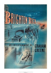

Search results from Open Library.
Recent natural events nearby
Ground air-quality sensors
Recently spotted species
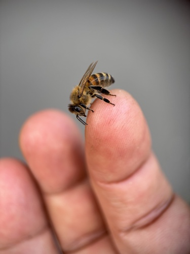
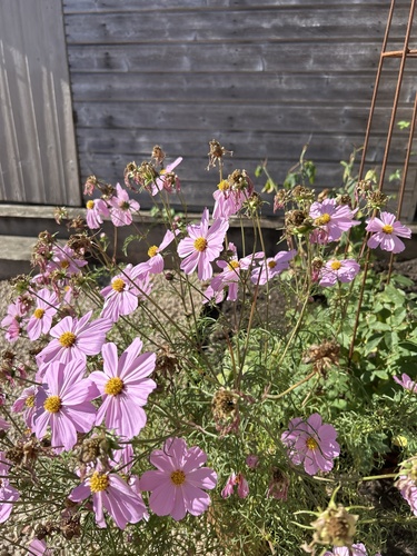
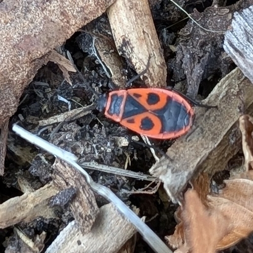
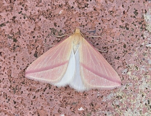
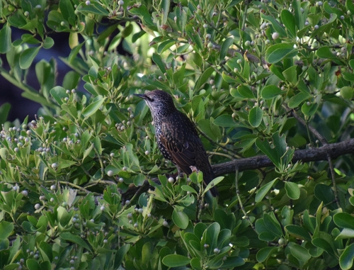
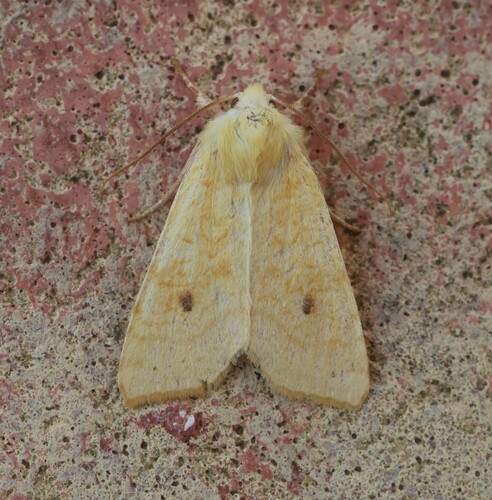
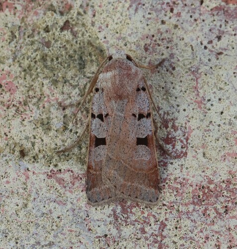

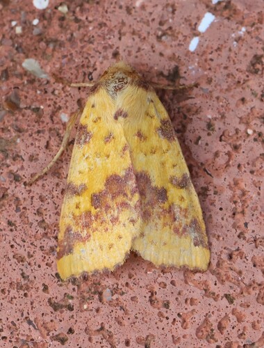
Research-grade observations from iNaturalist (within ~15 mi).
Events
Notable, recurring, and historical events associated with Brighton, sourced from Wikidata.
- Brighton 2019 Free The Nipple rallyJun 22, 2019demonstration
Source: Wikidata (CC0).
Gallery
Geotagged photos within ~6 miles of Brighton, from Wikimedia Commons contributors.


Photos via Wikimedia Commons — see each image page for license & attribution.
Official Identifiers
ONS — UK Office for National Statistics
- ONS code
- osgb4000000074813723
- Local type
- Other Settlement
- Region
- South East
api.postcodes.io / OS Open Names
Sources
- • Wikipedia
- • Wikimedia Commons
- • Wikidata
- • Open-Meteo Air Quality (CAMS)
- • USGS Earthquake Catalog (global feed)
- • GBIF (Global Biodiversity Information Facility)
- • iNaturalist
- • Open-Meteo / sunrise-sunset.org
- • Wikipedia Pageviews API
- • Open Library
- • Wikidata SPARQL (CC0) — population, area, elevation, inception, head of government, Commons image
- • ONS / OS Open Names — UK official place gazetteer, via api.postcodes.io (OS code, local type, county/unitary, district/borough, region)
- • ONS — UK Office for National Statistics — api.postcodes.io / OS Open Names