Browse / United Kingdom / Wales / Cardiff
Cardiff
Walescity

Cardiff
Total population
346,100
Founded
1081
Air quality index
Demographic figures from UK Office for National Statistics. Overview below cites Wikipedia and may reference a different year.
City facts
Facts from Wikidata (CC0).
Overview
Cardiff is the capital and largest city of Wales. Cardiff had a population of 381,516 in 2025 and forms a principal area officially known as the City and County of Cardiff. The city is the eleventh largest in the United Kingdom. Located in the southeast of Wales, the city sits within the Cardiff Capital Region, which consists of 1.5 million people, accounting for roughly half the nation's total population. Cardiff is the county town of the historic county of Glamorgan and from 1974 to 1996 of South Glamorgan. It belongs to the Eurocities network of the largest European cities. A small town until the early 19th century, its prominence as a port for coal when mining began in the region helped its expansion. In 1905, it was ranked as a city and in 1955 proclaimed capital of Wales. The Cardiff urban area covers a larger area outside the county boundary, including the towns of Dinas Powys and Penarth.
Read more on WikipediaHistory & geography
History
(the Welsh name of the city) derives from the Middle Welsh . The change from to shows the colloquial alteration of Welsh f and dd and was perhaps also driven by folk etymology. This sound change probably first occurred in the Middle Ages; both forms were current in the Tudor period. has its origins in post-Roman Brythonic words meaning "the fort of the Taff". The fort probably refers to that established by the Romans. is Welsh for fort and is a form of (Taff), the river which flows by Cardiff Castle, with the showing consonant mutation to , as is normal in compound words, and the vowel showing affection as a result of a (lost) genitive case ending. The anglicised Cardiff is derived from , with the Welsh f borrowed as ff , as also happens in Taff (from Welsh ) and Llandaff (from Welsh ). The antiquarian William Camden (1551–1623) suggested that the name Cardiff may derive from * ("the Fort of Didius"), a name supposedly given in honour of , governor of a nearby province at the time when the Roman fort was established. Although some sources repeat this theory, it has been rejected on linguistic grounds by modern scholars such as Professor Pierce. Archaeological evidence from sites in and around Cardiff show that people had settled in the area by at least around 6000 BC, during the early Neolithic: about 1,500 years before either Stonehenge or the Great Pyramid of Giza was completed. These include the St Lythans burial chamber near Wenvoe, (approximately west of Cardiff city centre); the Tinkinswood burial chamber, near St. Nicholas (about west of Cardiff city centre), the Cae'rarfau Chambered Tomb, Creigiau (about northwest of Cardiff city centre) and the Gwern y Cleppa long barrow, near Coedkernew, Newport (about northeast of Cardiff city centre).…
Geography
The centre of Cardiff is relatively flat and bounded by hills to the east, north and west. Its location influenced its development as the world's largest coal port, notably its proximity and easy access to the coalfields of the South Wales Valleys. The highest point in the local authority area is Garth Hill, above sea level. Cardiff is built on reclaimed marshland on a bed of Triassic stones. This reclaimed marshland stretches from Chepstow to the Ely Estuary, which is the natural boundary of Cardiff and the Vale of Glamorgan. Triassic landscapes of this part of the world are usually shallow and low-lying, consistent with the flatness of the centre of Cardiff. The classic Triassic marl, sand and conglomerate rocks are used predominantly throughout Cardiff as building materials. Many of these Triassic rocks are purplish, especially the coastal marl found near Penarth. One of the Triassic rocks used in Cardiff is "Radyr Stone", a freestone which as its name suggests is quarried in the Radyr district. Cardiff has also imported some materials for buildings: Devonian sandstones (the Old Red Sandstone) from the Brecon Beacons has been used. Most famously, the buildings of Cathays Park, the civic centre in the centre of the city, are built of Portland stone from Dorset. A widely used building stone in Cardiff is the yellow-grey Liassic limestone rock of the Vale of Glamorgan, including the rare "Sutton Stone", a conglomerate of lias limestone and carboniferous limestone. Cardiff is bordered to the west by the rural district of the Vale of Glamorgan, also known as the Garden of Cardiff, to the east by the city of Newport; to the north by the South Wales Valleys, and to the south by the Severn Estuary and Bristol Channel. The River Taff winds through the city centre and…
Excerpted from the corresponding Wikipedia article (CC BY-SA).
Geography
Coordinates & boundaries from the US Census TIGER/Line shapefiles.
Climate
Air quality
Current readings from Open-Meteo Air Quality API (Copernicus CAMS European reanalysis).
Walkability
Amenities nearby
Wildlife & biodiversity
Most-observed species
- Common Wood-PigeonColumba palumbus Linnaeus, 1758 · Aves13,834
- Eurasian BlackbirdTurdus merula Linnaeus, 1758 · Aves12,825
- Eurasian MagpiePica pica (Linnaeus, 1758) · Aves12,540
- Carrion CrowCorvus corone Linnaeus, 1758 · Aves12,410
- European RobinErithacus rubecula (Linnaeus, 1758) · Aves12,375
- Eurasian Blue TitCyanistes caeruleus (Linnaeus, 1758) · Aves10,952
- MallardAnas platyrhynchos Linnaeus, 1758 · Aves9,410
- Lesser Black-backed GullLarus fuscus Linnaeus, 1758 · Aves9,190
Citizen-science & research observations from the Global Biodiversity Information Facility (GBIF).
Earthquake history
Most recent
- M 3.4 — 2023-02-241 km ENE of Brynmawr, United Kingdom
- M 3.4 — 2019-12-051 km ESE of Taunton, United Kingdom
- M 4.3 — 2018-02-175 km NE of Clydach, United Kingdom
- M 4.1 — 2014-02-2017 km NNW of Ilfracombe, United Kingdom
- M 3.9 — 2008-10-262 km N of Bromyard, United Kingdom
- M 2.7 — 2006-09-264 km SSW of Dorstone, United Kingdom
Events from the USGS Earthquake Catalog (global) (FDSN Event Web Service).
Photos
Sights & places nearby
Notable people from here


People born within ~10 km, from Wikidata (CC0). Click any name for their Wikipedia article.
Nearby places in Wales
Geography & sun
Elevation, sunrise/sunset and daylight from Open-Meteo. Solar climatology from NASA POWER.
Nearby airports
Public attention
Pageview totals from the Wikimedia Pageviews API.
Books about Cardiff


Search results from Open Library.
Recent natural events nearby
Ground air-quality sensors
Recently spotted species
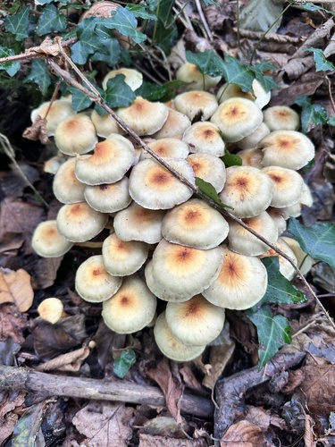
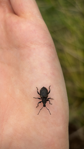
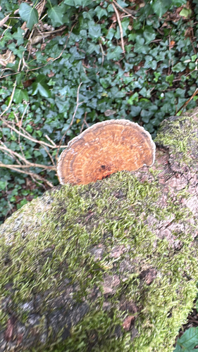
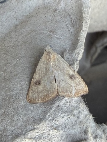
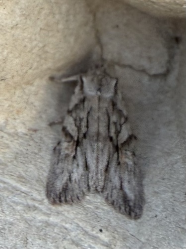
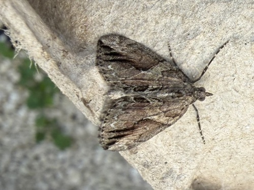
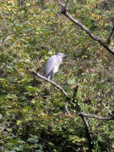
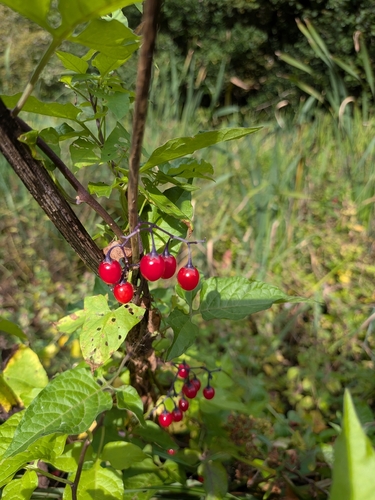
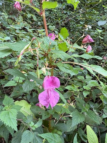
Research-grade observations from iNaturalist (within ~15 mi).
Events
Notable, recurring, and historical events associated with Cardiff, sourced from Wikidata.
- Nov 13, 2021
- Jan 1, 2016
- Jan 1, 2015
- Jan 1, 2013
- 2002 WPA World Nine-ball ChampionshipJul 18, 2002sporting event
- 2001 WPA World Nine-ball ChampionshipJul 14, 2001sporting event
- 2000 WPA World Nine-ball ChampionshipJul 1, 2000sporting event
- Jan 1, 1985
- Jan 1, 1983
- Jan 1, 1965
- Jan 1, 1958
Source: Wikidata (CC0).
Gallery
Geotagged photos within ~6 miles of Cardiff, from Wikimedia Commons contributors.


Photos via Wikimedia Commons — see each image page for license & attribution.
Official Identifiers
ONS — UK Office for National Statistics
- ONS code
- osgb4000000074554911
- Local type
- City
- Region
- Wales
api.postcodes.io / OS Open Names
Sources
- • Wikipedia
- • Wikimedia Commons
- • Wikidata
- • Open-Meteo Air Quality (CAMS)
- • USGS Earthquake Catalog (global feed)
- • GBIF (Global Biodiversity Information Facility)
- • iNaturalist
- • Open-Meteo / sunrise-sunset.org
- • Wikipedia Pageviews API
- • Open Library
- • Wikidata SPARQL (CC0) — population, area, elevation, inception, head of government, Commons image
- • ONS / OS Open Names — UK official place gazetteer, via api.postcodes.io (OS code, local type, county/unitary, district/borough, region)
- • ONS — UK Office for National Statistics — api.postcodes.io / OS Open Names