Browse / United Kingdom / England / Chesterfield
Chesterfield
Englandtown

Chesterfield
Total population
103,800
Founded
1204
Air quality index
Demographic figures from UK Office for National Statistics. Overview below cites Wikipedia and may reference a different year.
City facts
Facts from Wikidata (CC0).
Overview
Chesterfield is a market and industrial town in the county of Derbyshire, England. It is 24 miles (39 km) north of Derby and 11 miles (18 km) south of Sheffield at the confluence of the Rivers Rother and Hipper. In 2011, the built-up-area subdivision had a population of 88,483, making it the second-largest settlement in Derbyshire, after Derby. The wider Borough of Chesterfield had a population of 103,569 in the 2021 Census. In 2021, the town itself had a population of 76,402.
Read more on WikipediaHistory & geography
History
Chesterfield was in the Hundred of Scarsdale. The town received its market charter in 1204 from King John, which constituted the town as a free borough, granting the burgesses of Chesterfield the privileges of those of Nottingham and Derby. Elizabeth I granted a charter in either 1594 or 1598, This remained its charter until the borough was reshaped under the Municipal Corporations Act 1835. It originally consisted only of the township of Chesterfield but absorbed some surrounding townships in 1892. There was a major extension when the borough absorbed New Whittington and Newbold urban district in 1920. Chesterfield's current boundaries date from 1 April 1974, when the Borough of Chesterfield was formed under the Local Government Act 1972 by amalgamating the municipal borough of Chesterfield, the urban district of Staveley and the parish of Brimington from Chesterfield Rural District. Chesterfield benefitted much from the building of the Chesterfield Line – part of the Derby to Leeds railway (North Midland Line) begun in 1837 by George Stephenson. During the work, a sizeable seam of coal was discovered while the Clay Cross Tunnel was constructed. George then founded the Clay Cross company producing coal, iron ore, and limestone. During his time in Chesterfield, Stephenson lived at Tapton House, remaining there until his death in 1848. He is interred in Trinity Church. A statue of him was erected outside Chesterfield railway station in 2006. The population in 1841 was 6,212 inhabitants.
Geography
Chesterfield lies at the confluence of the River Rother and River Hipper at the Nottinghamshire, Derbyshire and Yorkshire Coalfield, in the eastern foothills of the Pennines. It is sometimes described as the "Gateway to the Peak", with the Peak District National Park to the west of the town. Nearby areas of the South and West Yorkshire Green Belt can serve to block urban sprawl. Other local greenfield frameworks include "strategic gaps" to maintain the openness and landscape qualities of large open areas, and "green wedges" penetrating urban areas with recreational facilities. The wider Chesterfield Urban Area had a population of 112,664 at the 2021 Census, this included the town of Chesterfield along with its surrounding suburbs and the outlying villages and towns of Wingerworth, Staveley, Cutthorpe and Holymoorside.
Excerpted from the corresponding Wikipedia article (CC BY-SA).
Geography
Coordinates & boundaries from the US Census TIGER/Line shapefiles.
Climate
Air quality
Current readings from Open-Meteo Air Quality API (Copernicus CAMS European reanalysis).
Walkability
Amenities nearby
Wildlife & biodiversity
Most-observed species
- Common Wood-PigeonColumba palumbus Linnaeus, 1758 · Aves10,788
- European RobinErithacus rubecula (Linnaeus, 1758) · Aves10,203
- Eurasian BlackbirdTurdus merula Linnaeus, 1758 · Aves9,871
- Carrion CrowCorvus corone Linnaeus, 1758 · Aves9,530
- Eurasian Blue TitCyanistes caeruleus (Linnaeus, 1758) · Aves8,717
- Eurasian MagpiePica pica (Linnaeus, 1758) · Aves7,738
- Meadow BrownManiola jurtina (Linnaeus, 1758) · Insecta7,530
- MallardAnas platyrhynchos Linnaeus, 1758 · Aves7,259
Citizen-science & research observations from the Global Biodiversity Information Facility (GBIF).
Earthquake history
Most recent
- M 2.7 — 2023-06-282 km SE of Cheadle, United Kingdom
- M 3.6 — 2022-05-302 km ESE of Prees, United Kingdom
- M 3.2 — 2022-02-215 km N of Hockley, United Kingdom
- M 2.8 — 2015-09-222 km W of Cottesmore, United Kingdom
- M 3.8 — 2015-01-282 km WSW of Market Overton, United Kingdom
- M 2.6 — 2014-10-282 km NNE of Hucknall, United Kingdom
Events from the USGS Earthquake Catalog (global) (FDSN Event Web Service).
Photos
Sights & places nearby
Notable people from here


People born within ~10 km, from Wikidata (CC0). Click any name for their Wikipedia article.
Nearby places in England
Geography & sun
Elevation, sunrise/sunset and daylight from Open-Meteo. Solar climatology from NASA POWER.
Nearby airports
Public attention
Pageview totals from the Wikimedia Pageviews API.
Books about Chesterfield
![[Report 1919]](https://covers.openlibrary.org/b/id/11792770-M.jpg)
![[Report 1932]](https://covers.openlibrary.org/b/id/7952853-M.jpg)
![[Report 1940]](https://covers.openlibrary.org/b/id/7959583-M.jpg)
![[Report 1939]](https://covers.openlibrary.org/b/id/7972090-M.jpg)
![[Report 1938]](https://covers.openlibrary.org/b/id/7935254-M.jpg)
Search results from Open Library.
Recent natural events nearby
Ground air-quality sensors
Recently spotted species
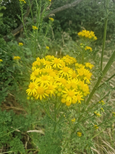
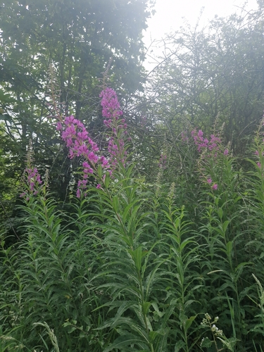
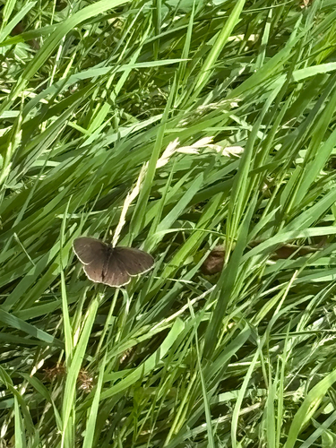
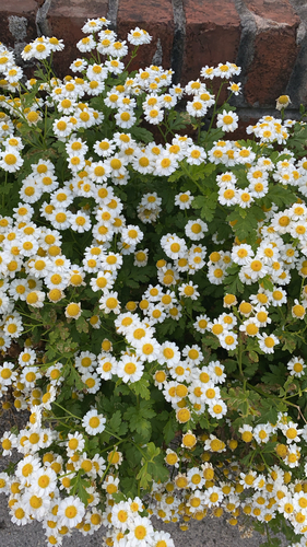
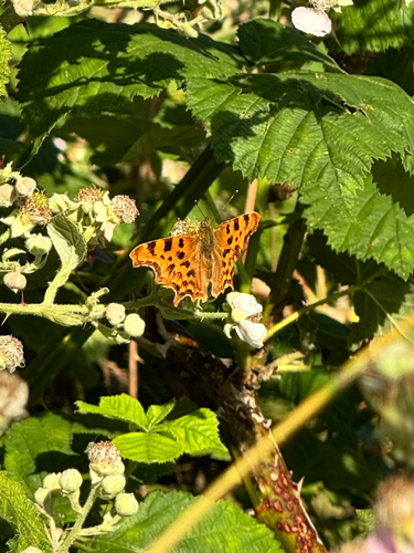
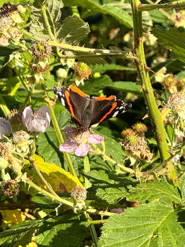
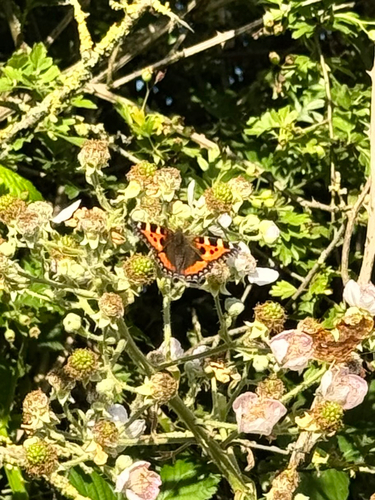
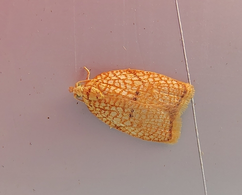
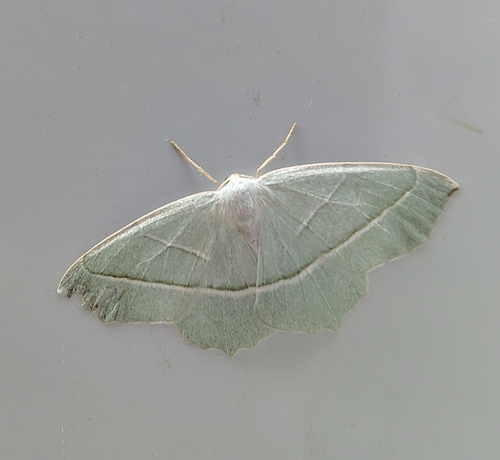
Research-grade observations from iNaturalist (within ~15 mi).
Events
Gallery
Geotagged photos within ~6 miles of Chesterfield, from Wikimedia Commons contributors.


.jpg)
.jpg)


Photos via Wikimedia Commons — see each image page for license & attribution.
Official Identifiers
ONS — UK Office for National Statistics
- ONS code
- osgb4000000074572064
- Local type
- Town
- Region
- East Midlands
api.postcodes.io / OS Open Names
Sources
- • Wikipedia
- • Wikimedia Commons
- • Wikidata
- • Open-Meteo Air Quality (CAMS)
- • USGS Earthquake Catalog (global feed)
- • GBIF (Global Biodiversity Information Facility)
- • iNaturalist
- • Open-Meteo / sunrise-sunset.org
- • Wikipedia Pageviews API
- • Open Library
- • Wikidata SPARQL (CC0) — population, area, elevation, inception, head of government, Commons image
- • ONS / OS Open Names — UK official place gazetteer, via api.postcodes.io (OS code, local type, county/unitary, district/borough, region)
- • ONS — UK Office for National Statistics — api.postcodes.io / OS Open Names