Browse / United Kingdom / England / Craven Arms
Craven Arms
Englandtown

Craven Arms
Demographic figures from UK Office for National Statistics. Overview below cites Wikipedia and may reference a different year.
City facts
Overview
Craven Arms is a market town and civil parish in Shropshire, England. It is sited on the A49 road and the Welsh Marches railway line, which link it north and south to the larger towns of Shrewsbury and Ludlow respectively. The town is enclosed to the north by the Shropshire Hills Area of Outstanding Natural Beauty and to the south is the fortified manor house of Stokesay Castle.
Read more on WikipediaHistory & geography
History
Craven Arms is a relatively new town (for Shropshire), being only a small village called Newton on a map of 1695. The settlement grew when the railway station came during the mid to late 19th century, making it a railway town. Newton or Newtown is still the name for the southeastern part of the present day town, while the northern part is called Newington or New Inn (another small village which existed prior to the town). The town takes its name from the Craven Arms Hotel, which was situated on the junction of the A49 and B4368 roads, which in turn is named after the Earls of Craven (who owned nearby Stokesay Castle). The civil parish of Craven Arms was formed in 1987 by the merging of two older parishes: Stokesay and Halford. These two older entities continued as parish wards; however, a review of the governance of the parish in 2012 concluded that these two wards would be abolished from May 2013. Small parts of the settlement overlap into neighbouring Wistanstow and Sibdon Carwood parishes.
Geography
Nearby towns are Bishop's Castle, Clun, Church Stretton and Ludlow, of which the last is the most substantial with 10,000 inhabitants. The River Onny flows to the town's east and just over the river is the small village of Halford. To the south is the small village of Stokesay, while to the north is the village of Wistanstow. Wenlock Edge is located to the north-east of the town and runs in a northeasterly direction, towards Much Wenlock.
Excerpted from the corresponding Wikipedia article (CC BY-SA).
Geography
Coordinates & boundaries from the US Census TIGER/Line shapefiles.
Climate
Air quality
Walkability
Amenities nearby
Wildlife & biodiversity
Earthquake history
Photos
Sights & places nearby
Notable people from here


People born within ~10 km, from Wikidata (CC0). Click any name for their Wikipedia article.
Nearby places in England
Geography & sun
Elevation, sunrise/sunset and daylight from Open-Meteo. Solar climatology from NASA POWER.
Nearby airports
Public attention
Pageview totals from the Wikimedia Pageviews API.
Books about Craven Arms


Search results from Open Library.
Recent natural events nearby
Ground air-quality sensors
Recently spotted species
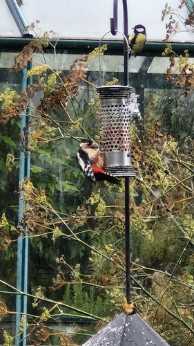
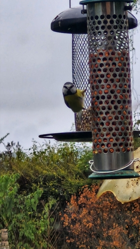
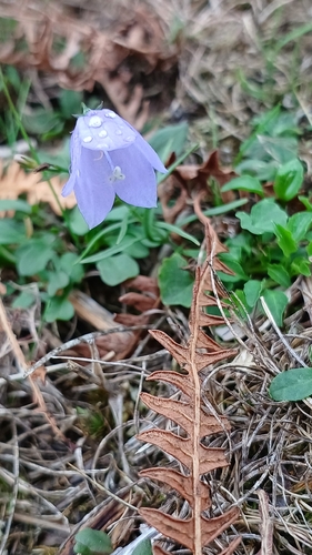
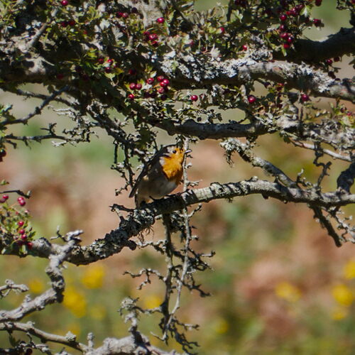
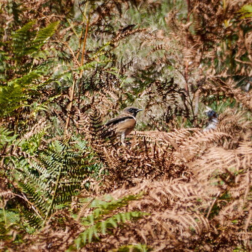
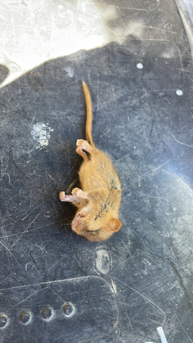
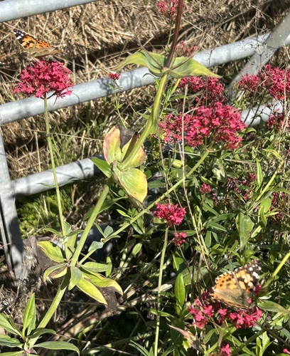

Research-grade observations from iNaturalist (within ~15 mi).
Events
Gallery
Sources
- • Wikipedia
- • Wikidata
- • iNaturalist
- • Open-Meteo / sunrise-sunset.org
- • Wikipedia Pageviews API
- • Open Library