Browse / United Kingdom / England / Daventry
Daventry
Englandtown

Daventry
Total population
25,026
Demographic figures from UK Office for National Statistics. Overview below cites Wikipedia and may reference a different year.
City facts
Facts from Wikidata (CC0).
Overview
Daventry is a market town and civil parish in West Northamptonshire, England, close to Northamptonshire's border with Warwickshire. At the 2021 Census, Daventry had a population of 28,123, making it the sixth-largest town in Northamptonshire.
Read more on WikipediaHistory & geography
History
Daventry is overlooked by the Borough Hill on the eastern edge of the town. The hill has been the site of human activity dating back into prehistory: remains have been found of two Bronze Age barrows, two Iron Age hill forts – one of which is the fourth largest found in Britain, and a later Roman villa and farming settlement. According to local folklore Daventry had Danish (Viking) origins, this was partly due to the old pronunciation of Daventry as Daintry, which was interpreted as "Dane Tree", however in more modern interpretation the town's name is thought likelier to be Anglo-Saxon in origin: "Dafa's tree" (Dafa being a founding father or paterfamila) and there was very likely a meeting tree, possibly on Borough Hill. Thus the name may have been formed on lines similar to Coventry ("Cofa's tree", i.e. "tree of Cofa"). Another theory which was popular in the 19th century, was that of Thomas Pennant, the Welsh naturalist and antiquarian, who acknowledged the town's 'considerable antiquity' and speculated that the name was Brythonic, dwy-avon-tre (town of two rivers), a derivation seemingly supported by the town's topography, situated as it is between the sources of the River Leam, which flows west, and the River Nene which flows east. This theory however is now discredited. Daventry was mentioned in the Domesday Book of 1086 as Daventrei. It was recorded as belonging to Countess Judith, niece of William the Conqueror. In around 1108, Daventry Priory a small Cluniac priory was founded at Daventry, alongside the parish church. The priory was closed in 1526 by Cardinal Wolsey who granted its assets to Christ Church, Oxford. In 1203 a market was first recorded at Daventry. The market benefited from Daventry's location upon the main road (now the A45 road) linking…
Geography
The town is located north-north-west of London via the M1 motorway, west of Northampton, south-east of Rugby and north-north-east of Banbury. Other nearby places include Southam, Coventry and the villages of Ashby St Ledgers, Badby, Barby, Braunston, Byfield, Charwelton, Dodford, Dunchurch, Everdon, Fawsley, Hellidon, Kilsby, Long Buckby, Newnham, Norton, Staverton, Welton, Weedon and Woodford Halse. The town is twinned with Westerburg, Germany. The town lies at around above sea level. To the north and west, the land is generally lower than the town. Daventry sits on the watershed of the River Leam which flows to Leamington Spa, Warwick and the west of England and the River Nene which flows east. There is no river in the town; the largest gatherings of water are two reservoirs made to supply the canal that swings from Watford Gap into the West Midlands through the Braunston Tunnel around the north of the town. To the north-west is Drayton Reservoir and to the north-east is the Daventry Reservoir and country park. Watford Gap is about north-east of the town; through this gap pass the A5 (Watling Street Roman road), the Grand Union Canal, West Coast Main Line, the Northampton Loop Line and most recently the M1 motorway. Daventry has several housing estates, which include Drayton, Middlemore Farm, Lang Farm, Ashby Fields, Royal Oak, Timken, Stefen Hill, The Grange, The Southbrook, The Headlands and most recently Monksmoor Park.
Excerpted from the corresponding Wikipedia article (CC BY-SA).
Geography
Coordinates & boundaries from the US Census TIGER/Line shapefiles.
Climate
Air quality
Walkability
Amenities nearby
Wildlife & biodiversity
Earthquake history
Photos
Sights & places nearby
Notable people from here


People born within ~10 km, from Wikidata (CC0). Click any name for their Wikipedia article.
Nearby places in England
Geography & sun
Elevation, sunrise/sunset and daylight from Open-Meteo. Solar climatology from NASA POWER.
Nearby airports
Public attention
Pageview totals from the Wikimedia Pageviews API.
Books about Daventry
Search results from Open Library.
Recent natural events nearby
Ground air-quality sensors
Recently spotted species

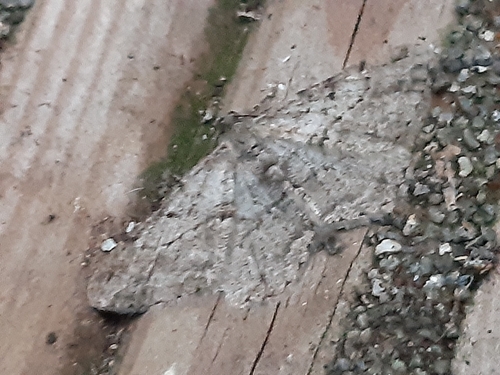

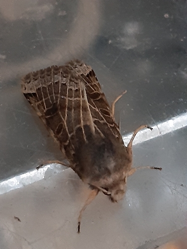
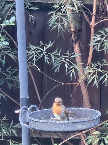
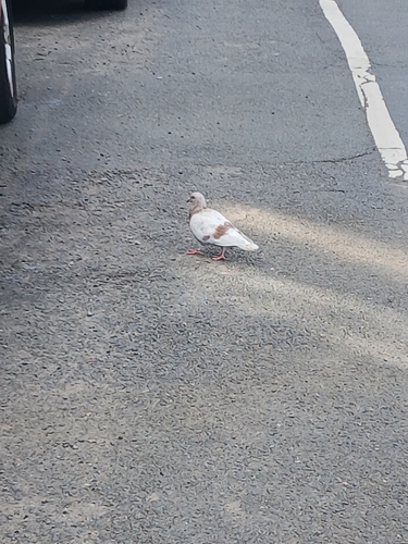

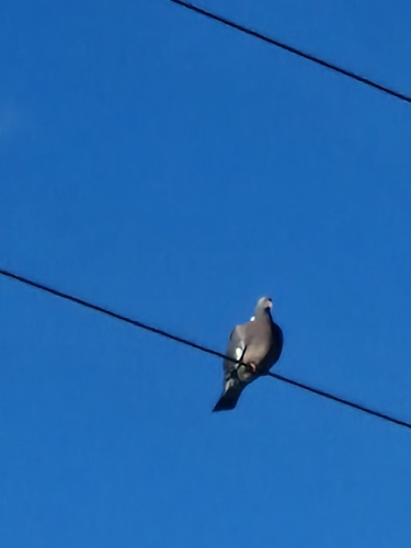
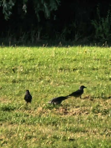
Research-grade observations from iNaturalist (within ~15 mi).
Events
Gallery
Official Identifiers
ONS — UK Office for National Statistics
- ONS code
- osgb4000000074573619
- Local type
- Town
- Region
- East Midlands
api.postcodes.io / OS Open Names
Sources
- • Wikipedia
- • Wikidata
- • iNaturalist
- • Open-Meteo / sunrise-sunset.org
- • Wikipedia Pageviews API
- • Open Library
- • Wikidata SPARQL (CC0) — population, area, elevation, inception, head of government, Commons image
- • ONS / OS Open Names — UK official place gazetteer, via api.postcodes.io (OS code, local type, county/unitary, district/borough, region)
- • ONS — UK Office for National Statistics — api.postcodes.io / OS Open Names