Browse / United Kingdom / England / Doncaster
Doncaster
Englandcity

Doncaster
Total population
165,468
Demographic figures from UK Office for National Statistics. Overview below cites Wikipedia and may reference a different year.
City facts
Sister cities
Facts from Wikidata (CC0).
Overview
Doncaster is a city in South Yorkshire, England. Named after the River Don, it is the administrative centre of the City of Doncaster metropolitan borough, and is the second largest settlement in South Yorkshire after Sheffield. Noted for its racing and railway history, it is situated in the Don Valley on the western edge of the Humberhead Levels and east of the Pennines. It had a population of 87,455 at the 2021 census, whilst its built-up area had a population of 160,220, and the wider metropolitan borough had a population of 308,100.
Read more on WikipediaHistory & geography
History
Possibly inhabited earlier, Doncaster grew up on the site of a Roman fort of the 1st century CE, at a crossing of the River Don. The 2nd-century Antonine Itinerary and early-5th-century Notitia Dignitatum (Register of Dignitaries) called the fort . The first section of road to the Doncaster fort had probably been built since the early 50s, while a route through the north Derbyshire hills was opened in the later 1st century, possibly by Governor Gn. Julius Agricola in the late 70s. Doncaster provided an alternative land route between Lincoln and York, while the main route Ermine Street involved parties breaking up to cross the Humber in boats. As this was not always practical, the Romans saw Doncaster as an important staging post. The Roman road appears on two routes recorded in the Antonine Itinerary. The itinerary includes the same section of road between Lincoln and York and lists three stations between these two coloniae. Routes 7 and 8 ( VII & VIII) are entitled "the route from York to London". Several areas of intense archaeological interest have been identified in the town, although many such as St Sepulchre Gate remain hidden under buildings. The Roman fort is thought to have lain on the site now taken by St George's Minster, beside the River Don. The Doncaster garrison units are named in a Register produced near the end of Roman rule in Britain: it was the home of the Crispinian Horse, presumably named after the tribes living near Crispiana in Pannonia Superior (near present-day Zirc in western Hungary), but possibly after Crispus, son of Constantine the Great, who was headquartered there while his father was based in nearby York. The Register names the unit as under the command of the "Duke of the Britons". In 1971 the Danum shield, a rectangular Roman…
Geography
{| class="wikitable" !Place!!Distance!!Direction!!Relation |- |London||||South||Capital city of the United Kingdom |- |Hull||||East||Nearby city |- |Lincoln||||South east||Nearby city |- |York||||North||Nearby city; historic county town of Yorkshire |- |Wakefield||||North west||Nearby city |- |Sheffield||||South west||Largest city in county; within combined authority area |- |Barnsley||||West||Within combined authority area |- |Rotherham||||South west||Within combined authority area |} Doncaster is the second largest settlement in South Yorkshire and the largest metropolitan district in England by area. It expanded dramatically in population with the development of coal mining. Closure of coal mines in the 1970s and early 1980s caused economic difficulties; the town then developed its service industry, drawing on the good communication links with the rest of the UK. The Doncaster skyline is overlooked by the minster in the middle of the city. The Frenchgate Shopping Centre is in a similar position in the skyline, along with the Doncaster College Hub building. After the old Doncaster College and surrounding buildings were demolished, the new Doncaster Civic Office designed by Cartwright Pickard was built for the City of Doncaster Council at a cost of £20million and completed in 2012. Doncaster lies in a lowland valley in southern Yorkshire. To the west are low rolling hills eventually reaching the Pennines. To the east are the low-lying Isle of Axholme and Humberhead Levels. The south is relatively low-lying, with a large forested area including Sherwood Forest in Nottinghamshire. The Vale of York lies to the north. The floodplains of the River Don lie to Doncaster's north-east; this area is regularly flooded, notably in 2007 and 2019. Thorne and Hatfield Moors,…
Excerpted from the corresponding Wikipedia article (CC BY-SA).
Geography
Coordinates & boundaries from the US Census TIGER/Line shapefiles.
Climate
Air quality
Walkability
Amenities nearby
Wildlife & biodiversity
Most-observed species
- Common Wood-PigeonColumba palumbus Linnaeus, 1758 · Aves13,928
- Eurasian BlackbirdTurdus merula Linnaeus, 1758 · Aves12,047
- European RobinErithacus rubecula (Linnaeus, 1758) · Aves11,750
- Carrion CrowCorvus corone Linnaeus, 1758 · Aves11,441
- Eurasian MagpiePica pica (Linnaeus, 1758) · Aves11,412
- Black-headed GullChroicocephalus ridibundus (Linnaeus, 1766) · Aves11,188
- MallardAnas platyrhynchos Linnaeus, 1758 · Aves10,871
- Eurasian Blue TitCyanistes caeruleus (Linnaeus, 1758) · Aves10,370
Citizen-science & research observations from the Global Biodiversity Information Facility (GBIF).
Earthquake history
Most recent
- M 2.7 — 2023-06-282 km SE of Cheadle, United Kingdom
- M 4.1 — 2018-06-097 km NNE of Withernsea, United Kingdom
- M 2.8 — 2015-09-222 km W of Cottesmore, United Kingdom
- M 3.8 — 2015-01-282 km WSW of Market Overton, United Kingdom
- M 2.6 — 2014-10-282 km NNE of Hucknall, United Kingdom
- M 3.5 — 2014-04-183 km WSW of Market Overton, United Kingdom
Events from the USGS Earthquake Catalog (global) (FDSN Event Web Service).
Photos
Sights & places nearby
Notable people from here


People born within ~10 km, from Wikidata (CC0). Click any name for their Wikipedia article.
Nearby places in England
Geography & sun
Elevation, sunrise/sunset and daylight from Open-Meteo. Solar climatology from NASA POWER.
Nearby airports
Public attention
Pageview totals from the Wikimedia Pageviews API.
Books about Doncaster
![[Report 1957]](https://covers.openlibrary.org/b/id/11793302-M.jpg)
Search results from Open Library.
Recent natural events nearby
Ground air-quality sensors
Recently spotted species
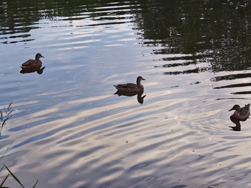
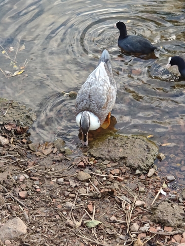
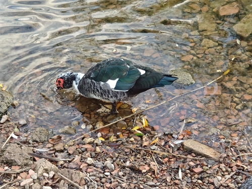
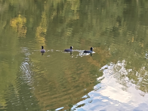
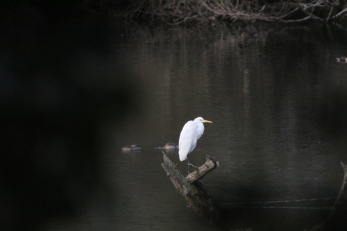
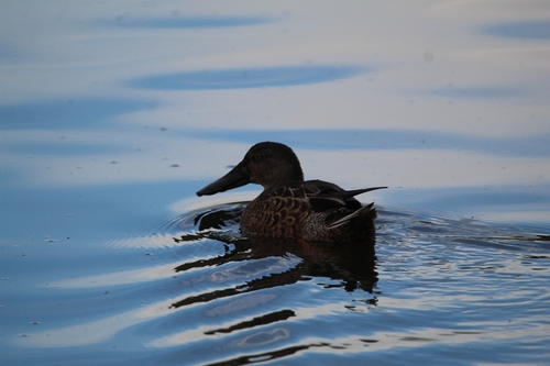

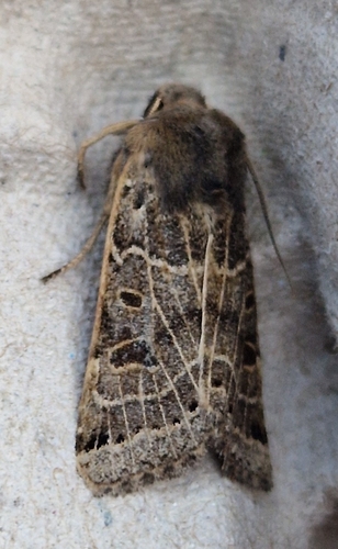
Research-grade observations from iNaturalist (within ~15 mi).
Events
Gallery
Official Identifiers
ONS — UK Office for National Statistics
- ONS code
- osgb4000000074574343
- Local type
- City
- Region
- Yorkshire and the Humber
api.postcodes.io / OS Open Names
Sources
- • Wikipedia
- • Wikidata
- • USGS Earthquake Catalog (global feed)
- • GBIF (Global Biodiversity Information Facility)
- • iNaturalist
- • Open-Meteo / sunrise-sunset.org
- • Wikipedia Pageviews API
- • Open Library
- • Wikidata SPARQL (CC0) — population, area, elevation, inception, head of government, Commons image
- • ONS / OS Open Names — UK official place gazetteer, via api.postcodes.io (OS code, local type, county/unitary, district/borough, region)
- • ONS — UK Office for National Statistics — api.postcodes.io / OS Open Names