Browse / United Kingdom / England / Stainforth
Stainforth
Englandtown

Stainforth
Demographic figures from UK Office for National Statistics. Overview below cites Wikipedia and may reference a different year.
City facts
Overview
Stainforth is a town and civil parish in the City of Doncaster, in South Yorkshire, England. It is around 7 miles (11 km) north-east of Doncaster, close to Hatfield and Thorne. It had a population of 6,342 in the 2001 census, reducing slightly to 6,282 at the 2011 census.
Read more on WikipediaHistory & geography
History
Stainforth was established in the Anglo Saxon period and is recorded in the Domesday Book (1086), as a small settlement of 7 households. In 1066, it was under Earl Harold, but after the Norman Conquest it was given by William the Conqueror to William of (de) Warenne. In 1348, Stainforth received a Royal Charter, entitling it to hold a weekly market on Fridays and an annual ten-day fair. The town briefly thrived as a commercial centre and port and attracted traders from as far afield as the Isle of Axholme, but the market soon slumped as Bawtry grew in importance. George Porter (later Lord Porter of Luddenham), the Nobel prize winning chemist, was born in the town in 1920. Stainforth railway station opened on 7 July 1856, and closed on 1 October 1866. The town is now served by Hatfield and Stainforth railway stations. Speedway racing was staged at the Greyhound Stadium in the town in 1930. The original "professional" promotion failed, and a few meetings organised by a riders' co-operative were staged at the venue. More recently, Stainforth was a mining village, with the Hatfield Main Colliery at its centre. The colliery was open for around 90 years, from when it entered full production in 1921 up to its closing in 2015. During the 1972 national strike, a miner from Hatfield Colliery, Freddie Matthews, was killed by a truck while picketing during the strike, which led to a huge crowd at his funeral. The colliery began reopening in 2006 and resumed full production in January 2008. The colliery closed in June 2015, and the shafts were filled. As a result, the work that was due to begin on a new 900 MW coal-fired power station and industrial estate, Hatfield Power Park, is looking unlikely. The power station would have been linked by a 40-mile (60 km)…
Excerpted from the corresponding Wikipedia article (CC BY-SA).
Geography
Coordinates & boundaries from the US Census TIGER/Line shapefiles.
Climate
Air quality
Walkability
Amenities nearby
Wildlife & biodiversity
Earthquake history
Photos
Sights & places nearby
Notable people from here


People born within ~10 km, from Wikidata (CC0). Click any name for their Wikipedia article.
Nearby places in England
Geography & sun
Elevation, sunrise/sunset and daylight from Open-Meteo. Solar climatology from NASA POWER.
Nearby airports
Public attention
Pageview totals from the Wikimedia Pageviews API.
Books about Stainforth

Search results from Open Library.
Recent natural events nearby
Ground air-quality sensors
Recently spotted species
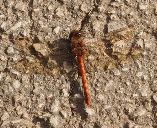



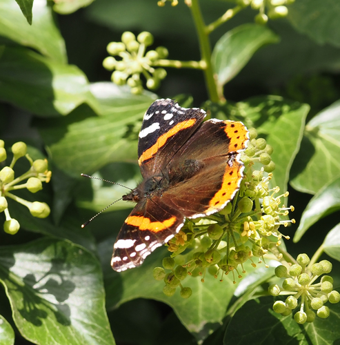




Research-grade observations from iNaturalist (within ~15 mi).
Events
Gallery
Official Identifiers
ONS — UK Office for National Statistics
- ONS code
- osgb4000000074544455
- Local type
- Village
- Region
- Yorkshire and the Humber
api.postcodes.io / OS Open Names
Sources
- • Wikipedia
- • Wikidata
- • iNaturalist
- • Open-Meteo / sunrise-sunset.org
- • Wikipedia Pageviews API
- • Open Library
- • ONS / OS Open Names — UK official place gazetteer, via api.postcodes.io (OS code, local type, county/unitary, district/borough, region)
- • ONS — UK Office for National Statistics — api.postcodes.io / OS Open Names