Browse / United Kingdom / England / Dudley
Dudley
Englandtown

Dudley
Total population
195,000
Demographic figures from UK Office for National Statistics. Overview below cites Wikipedia and may reference a different year.
City facts
Sister cities
Facts from Wikidata (CC0).
Overview
Dudley is a market town in the West Midlands, England, 6 miles (9.7 km) southeast of Wolverhampton and 8 miles (13 km) northwest of Birmingham. Historically part of Worcestershire, the town is the administrative centre of the Metropolitan Borough of Dudley. In the 2011 census, it had a population of 79,379. The wider Metropolitan Borough had a population of 312,900. In 2014, the borough council adopted a slogan describing Dudley as the capital of the Black Country, a title by which it had long been informally known.
Read more on WikipediaHistory & geography
History
Dudley has a history dating back to Anglo-Saxon times, its name deriving from the Old English Duddan Leah, meaning Dudda's clearing, and one of its churches being named in honour of the Anglo-Saxon king and saint, Edmund. Mentioned in the Domesday Book of 1086 as Dudelei, in the hundred of Clent in Worcestershire, the town was listed as being a medium-sized manor in the possession of Earl Edwin of Mercia prior to the Norman Conquest, with William Fitz-Ansculf as Lord of the Manor in 1086. Dudley Castle, constructed in 1070 by William's father Ansculf de Picquigny after his acquisition of the town, served as the seat of the extensive Barony of Dudley, which possessed estates in eleven different counties across England. Of historical significance, the town was attacked by King Stephen in 1138, after a failed siege of the castle following the baron's decision to support Empress Matilda's claim to the throne during The Anarchy. The castle provided the centre from which the town and borough grew, with early coal and iron workings helping establish Dudley as a major market town during the Middle Ages, selling not only agricultural produce, but also iron goods at a national level. Working iron and mining for coal was in practice as early as the 13th century. The first mention of Dudley's status as a borough dates from the mid-13th century, when Roger de Somery, then Baron of Dudley, approved of the establishment of a market in nearby Wolverhampton. An inquisition after his death further established the value and importance of the borough, with mentions of the town's growing coal industry. During the English Civil War Dudley served as a Royalist stronghold, with the castle besieged twice by the Parliamentarians and later partly demolished on the orders of the Government…
Geography
Dudley covers an area of the South Staffordshire Coalfield, which contributed heavily to its growth and industrialisation during the 18th century Industrial Revolution. North-west of the town centre lies the Wren's Nest Nature Reserve, the first British nature reserve in an urban area and a site of special scientific interest (SSSI), considered to be one of the most notable geological locations in the British Isles. A part of the Much Wenlock Limestone Formation, it was heavily mined for centuries because of its large limestone deposits, and is also the location of one of the largest fossil sites in England. The town lends its name to the "Dudley locust", (also 'Dudley Bug'), a trilobite with the scientific name Calymene blumenbachii that was found in these limestone pits in 1749 by Charles Lyttleton. In the 1830s, Scottish geologist Sir Roderick Murchison visited the Wren's Nest to collect fossils as part of his research. 65% of his palaeontological evidence featured in the 1839 publication "The Silurian System" was from Dudley.
Excerpted from the corresponding Wikipedia article (CC BY-SA).
Geography
Coordinates & boundaries from the US Census TIGER/Line shapefiles.
Climate
Air quality
Walkability
Amenities nearby
Wildlife & biodiversity
Earthquake history
Photos
Sights & places nearby
Notable people from here


People born within ~10 km, from Wikidata (CC0). Click any name for their Wikipedia article.
Nearby places in England
Geography & sun
Elevation, sunrise/sunset and daylight from Open-Meteo. Solar climatology from NASA POWER.
Nearby airports
Public attention
Pageview totals from the Wikimedia Pageviews API.
Books about Dudley
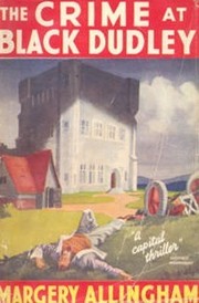
Search results from Open Library.
Recent natural events nearby
Ground air-quality sensors
Recently spotted species
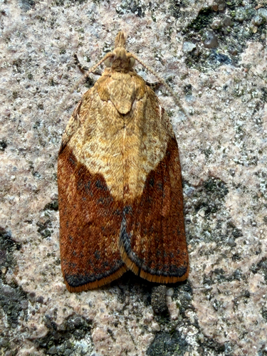
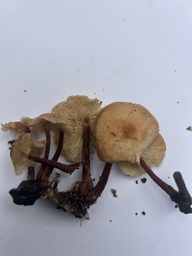
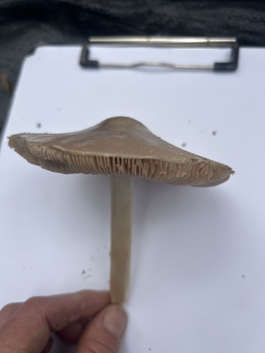
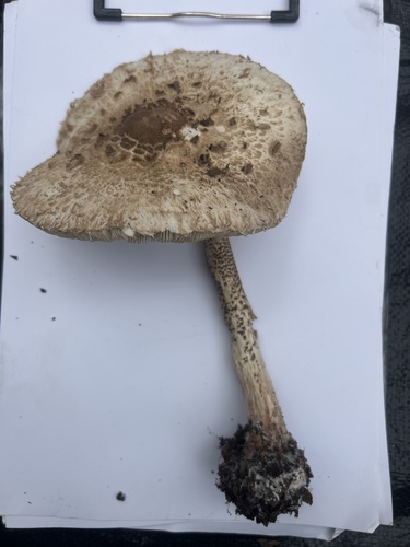
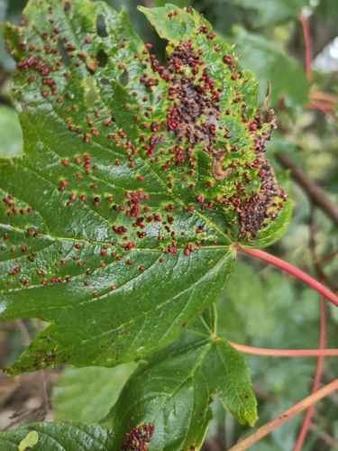
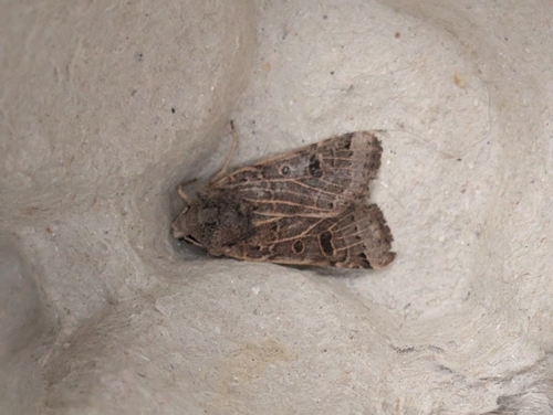
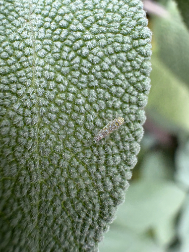
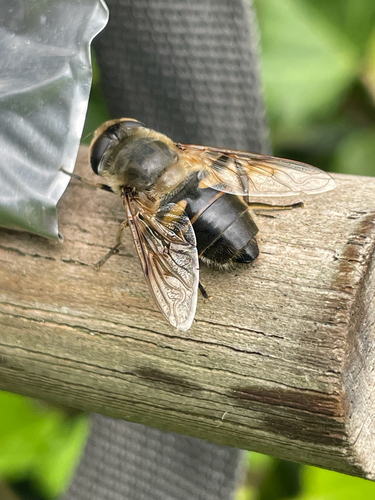
Research-grade observations from iNaturalist (within ~15 mi).
Events
Gallery
Official Identifiers
ONS — UK Office for National Statistics
- ONS code
- osgb4000000074567788
- Local type
- Town
- Region
- West Midlands
api.postcodes.io / OS Open Names
Sources
- • Wikipedia
- • Wikidata
- • iNaturalist
- • Open-Meteo / sunrise-sunset.org
- • Wikipedia Pageviews API
- • Open Library
- • Wikidata SPARQL (CC0) — population, area, elevation, inception, head of government, Commons image
- • ONS / OS Open Names — UK official place gazetteer, via api.postcodes.io (OS code, local type, county/unitary, district/borough, region)
- • ONS — UK Office for National Statistics — api.postcodes.io / OS Open Names