Browse / United Kingdom / England / Gillingham
Gillingham
Englandtown

Gillingham
Total population
104,157
Demographic figures from UK Office for National Statistics. Overview below cites Wikipedia and may reference a different year.
City facts
Overview
Gillingham is a town in Kent, England, which forms a conurbation with neighbouring Chatham, Rochester, Strood and Rainham. It is the largest town in the borough of Medway and in 2022 had a population of 111,033.
Read more on WikipediaHistory & geography
History
The name Gillingham is recorded in the Domesday Book of 1086. It is said to have been named after a warlord, Gyllingas—from the old English gyllan, meaning "to shout". He was a notable man in Kent history as he led his warriors into battle screaming and shouting. At the time of the Norman Conquest, Gillingham was given to the half-brother of William I of England, Odo, Bishop of Bayeux, who rebuilt the parish church at Gillingham and constructed an Archbishop's Palace on land bordered by Grange Road, the ruins of which could still be seen in the last century. At the time Gillingham itself was a small hamlet, built around the parish church and surrounded by large farm-holdings, of which St. Mark's Parish formed part, being part of Brittain Farm. William Adams mentioned Gillingham in his writings, saying: "... two English miles from Rochester and one mile from Chatham, where the King's ships do lie". Adams was baptised at Gillingham Parish Church on 24 September 1564. The Strand was once owned by the Davenport family in 1635, the Davenport family included a Mayor of Gillingham, pie makers and key holders of Gillingham. The Davenport family had a road named after them in 1920. The Davenport estate was in Ashford, Kent. The estate comprised around 15000 acres and was called The Davenport Manor. The Davenports lost the estate in 1889. The Davenport family were among the investors in the Chatham Dockyard. In medieval times the part of Gillingham known as Grange was a "limb" (junior member) of the Cinque Ports and the maritime importance of the area continued until the late 1940s. Indeed, a large part of Chatham Dockyard lay within Gillingham, and when it was closed in 1984, two-thirds of the then modern-day dockyard lay within the boundaries of Gillingham. The dockyard was…
Geography
The town grew along the road from Brompton on the great lines (military barracks), to the railway station. As such it was a linear development. Close by was the road along the shore line, linking The Strand, and the tiny village of Gillingham Green. Later, communities developed along the top road – Watling Street – turnpike linking Chatham with Dover. All these communities merged into the town that is called today Gillingham. Gillingham experiences an oceanic climate (Köppen climate classification Cfb) similar to almost all of the United Kingdom. Due to its southerly, sheltered, marine position near the European continent the climate is among the warmest in the whole of England.
Excerpted from the corresponding Wikipedia article (CC BY-SA).
Geography
Coordinates & boundaries from the US Census TIGER/Line shapefiles.
Climate
Air quality
Walkability
Amenities nearby
Wildlife & biodiversity
Earthquake history
Photos
Sights & places nearby
Notable people from here


People born within ~10 km, from Wikidata (CC0). Click any name for their Wikipedia article.
Nearby places in England
Geography & sun
Elevation, sunrise/sunset and daylight from Open-Meteo. Solar climatology from NASA POWER.
Nearby airports
Public attention
Pageview totals from the Wikimedia Pageviews API.
Books about Gillingham

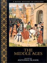
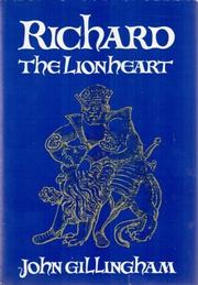


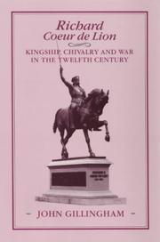
Search results from Open Library.
Recent natural events nearby
Ground air-quality sensors
Recently spotted species
Events
Gallery
Official Identifiers
ONS — UK Office for National Statistics
- ONS code
- osgb4000000074546352
- Local type
- Town
- Region
- South East
api.postcodes.io / OS Open Names
Sources
- • Wikipedia
- • Wikidata
- • Open-Meteo / sunrise-sunset.org
- • Wikipedia Pageviews API
- • Open Library
- • Wikidata SPARQL (CC0) — population, area, elevation, inception, head of government, Commons image
- • ONS / OS Open Names — UK official place gazetteer, via api.postcodes.io (OS code, local type, county/unitary, district/borough, region)
- • ONS — UK Office for National Statistics — api.postcodes.io / OS Open Names