Browse / United Kingdom / England / Erith
Erith
Englandtown

Erith
Air quality index
Demographic figures from UK Office for National Statistics. Overview below cites Wikipedia and may reference a different year.
City facts
Overview
Erith is an area in south-east London, England, 13.3 miles (21.4 km) east of Charing Cross. Before the creation of Greater London in 1965, it was in the historical county of Kent. Since 1965, it has formed part of the London Borough of Bexley. It lies north-east of Bexleyheath and north-west of Dartford, on the south bank of the River Thames.
Read more on WikipediaHistory & geography
History
Work carried out at the former British Gypsum site in Church Manorway by the Museum of London Archaeological Service shows that the area was covered by a dense forest of oak, yew and alder in the Neolithic period, which by the Bronze Age had given way in part to sedge fen. The museum's work at the former site of Erith School in Belmont Road revealed traces of prehistoric settlement and a substantial community or farmstead in the first century CE. After the collapse of Roman rule in the early 5th century, Britain was colonised by Anglo-Saxon invaders from northern Europe. The Anglo-Saxon Chronicle records that they won the Battle of Crecganford (thought to be modern Crayford) in 457 and shortly after claimed the whole of Kent. Their different way of life was reflected in their settlement pattern. The town and country estates of Roman bureaucrats gave way to a network of villages occupied by warriors and farmers. Erith was one such and has a Saxon name, originally Ærre hyðe meaning "old haven". There was probably a church on the site of the present St John the Baptist's in the Anglo-Saxon period. The early settlement was based around it, meaning that the centre of Erith was once west of its current location. The earliest written reference to the area is in a Latin charter of 695, recording a grant by the Bishop of the East Saxons of land at Erith. The surrounding area was known as Lesnes or Lessness, which is mentioned in the Domesday Book of 1086. After the Norman Conquest, Lessness passed into the possession of Bishop Odo. In 1315, a Royal Charter was granted for a market to be held in Erith every Thursday, but it was noted in 1776 that the market was long discontinued. Erith owes its existence to the Thames, and was until the 1850s essentially a small riverside…
Geography
Erith is a post town in the DA postcode area, consisting of the DA8 and DA18 postcode districts. It borders the River Thames to the north, Slade Green to the east and south east, Northumberland Heath to the south and south west and Belvedere to the west and north west. To the west of Erith town centre is the Erith Quarry development which aims to redevelopment the former quarry site with construction work beginning in 2015. The site currently features a new primary school and local supermarket and plans to contain 850 new homes once fully completed.
Excerpted from the corresponding Wikipedia article (CC BY-SA).
Geography
Coordinates & boundaries from the US Census TIGER/Line shapefiles.
Climate
Air quality
Current readings from Open-Meteo Air Quality API (Copernicus CAMS European reanalysis).
Walkability
Amenities nearby
Wildlife & biodiversity
Most-observed species
- Common Wood-PigeonColumba palumbus Linnaeus, 1758 · Aves32,370
- Carrion CrowCorvus corone Linnaeus, 1758 · Aves31,513
- Eurasian MagpiePica pica (Linnaeus, 1758) · Aves31,119
- European RobinErithacus rubecula (Linnaeus, 1758) · Aves29,508
- Eurasian Blue TitCyanistes caeruleus (Linnaeus, 1758) · Aves26,989
- Great TitParus major Linnaeus, 1758 · Aves24,789
- Rock PigeonColumba livia J.F.Gmelin, 1789 · Aves23,974
- MallardAnas platyrhynchos Linnaeus, 1758 · Aves22,664
Citizen-science & research observations from the Global Biodiversity Information Facility (GBIF).
Earthquake history
Most recent
- M 3.1 — 2020-09-225 km N of Aylesbury, United Kingdom
- M 3.9 — 2020-09-082 km WSW of Pitstone, United Kingdom
- M 3.3 — 2019-02-273 km SE of Dorking, United Kingdom
- M 2.8 — 2018-07-051 km S of Ewhurst, United Kingdom
- M 2.6 — 2018-06-275 km W of Capel, United Kingdom
- M 2.7 — 2018-04-014 km E of Holmwood, United Kingdom
Events from the USGS Earthquake Catalog (global) (FDSN Event Web Service).
Photos
Sights & places nearby
Notable people from here
Nearby places in England
Geography & sun
Nearby airports
Public attention
Books about this place
Recent natural events nearby
Ground air-quality sensors
Recently spotted species
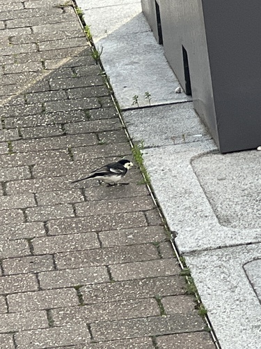
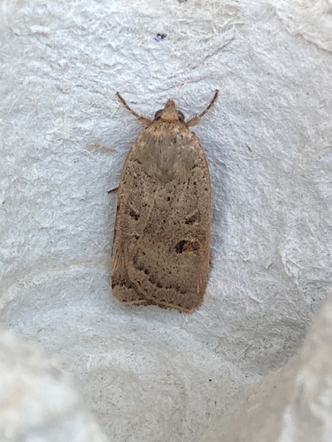
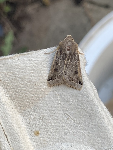
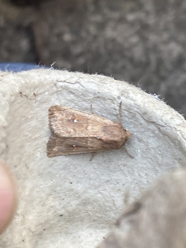


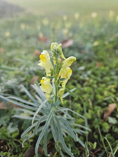
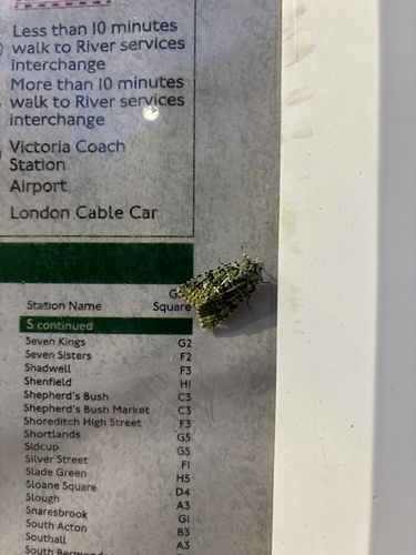
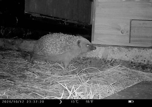
Research-grade observations from iNaturalist (within ~15 mi).
Events
Gallery
Official Identifiers
ONS — UK Office for National Statistics
- ONS code
- osgb4000000074569176
- Local type
- Other Settlement
- Region
- London
api.postcodes.io / OS Open Names
Sources
- • Wikipedia
- • Open-Meteo Air Quality (CAMS)
- • USGS Earthquake Catalog (global feed)
- • GBIF (Global Biodiversity Information Facility)
- • iNaturalist
- • ONS / OS Open Names — UK official place gazetteer, via api.postcodes.io (OS code, local type, county/unitary, district/borough, region)
- • ONS — UK Office for National Statistics — api.postcodes.io / OS Open Names