Browse / United Kingdom / England / Banstead
Banstead
Englandtown

Banstead
Demographic figures from UK Office for National Statistics. Overview below cites Wikipedia and may reference a different year.
City facts
Facts from Wikidata (CC0).
Overview
Banstead is a town in the borough of Reigate and Banstead in Surrey, England. It is 3 miles (5 km) south of Sutton, 7 miles (11 km) south-west of Croydon, 7 miles (11 km) north of Reigate, 8.5 miles (14 km) south-east of Kingston-upon-Thames, and 14 miles (23 km) south of Central London.
Read more on WikipediaHistory & geography
History
The earliest recorded mention of Banstead was in an Anglo-Saxon charter of AD 967, in the reign of King Edgar. The settlement appears in the Domesday Book of 1086 as Benestede. The first element is probably the Anglo Saxon word bene, meaning bean, and the second element stede refers to an inhabited place without town status (as in farmstead). Banstead's non-ecclesiastical land and 50 households were held by Richard as tenant-in-chief, under the Bishop of Bayeux. Its assets were: 9½ hides, 1 church, 1 mill worth £1, 17 ploughs, woodland worth 20 hogs. It rendered £8 per year. The Manor had two ploughs, and there were 28 villeins and 15 cottars (people with a small cottage but no land) with 15 ploughs. This was a farming area that later became well known for its high quality wool. The manor was owned by increasingly wealthy gentry, then by the church, before it fell into the hands of the Crown in the 13th century; Edward I visited more than once. Henry VIII made Banstead part of Catherine of Aragon's dowry, but took it away again and gave it to a court favourite, Sir Nicholas Carew. Carew was later beheaded for treason, but the manor, once covering most of the village but mostly sold piecemeal, stayed in his family until the 18th century. Banstead Downs, which for many centuries meant all the open land stretching from Epsom to Croydon and Reigate, became well known for horse racing in the 17th century. On 20 November 1683, King Charles II and the Duke of York attended a race meeting near the core of the village. The town also gained a reputation as a health resort during that era, famous for its "wholesome air", and London physicians recommended a visit to Banstead to their ailing patients.
Excerpted from the corresponding Wikipedia article (CC BY-SA).
Geography
Coordinates & boundaries from the US Census TIGER/Line shapefiles.
Climate
Air quality
Walkability
Amenities nearby
Wildlife & biodiversity
Most-observed species
- Common Wood-PigeonColumba palumbus Linnaeus, 1758 · Aves34,211
- European RobinErithacus rubecula (Linnaeus, 1758) · Aves32,009
- Carrion CrowCorvus corone Linnaeus, 1758 · Aves31,095
- Eurasian MagpiePica pica (Linnaeus, 1758) · Aves30,453
- Meadow BrownManiola jurtina (Linnaeus, 1758) · Insecta27,906
- Eurasian Blue TitCyanistes caeruleus (Linnaeus, 1758) · Aves27,527
- Rose-ringed ParakeetPsittacula krameri (Scopoli, 1769) · Aves27,161
- Great TitParus major Linnaeus, 1758 · Aves25,618
Citizen-science & research observations from the Global Biodiversity Information Facility (GBIF).
Earthquake history
Most recent
- M 3.1 — 2020-09-225 km N of Aylesbury, United Kingdom
- M 3.9 — 2020-09-082 km WSW of Pitstone, United Kingdom
- M 3.3 — 2019-02-273 km SE of Dorking, United Kingdom
- M 2.8 — 2018-07-051 km S of Ewhurst, United Kingdom
- M 2.6 — 2018-06-275 km W of Capel, United Kingdom
- M 2.7 — 2018-04-014 km E of Holmwood, United Kingdom
Events from the USGS Earthquake Catalog (global) (FDSN Event Web Service).
Photos
Sights & places nearby
Notable people from here


People born within ~10 km, from Wikidata (CC0). Click any name for their Wikipedia article.
Nearby places in England
Geography & sun
Elevation, sunrise/sunset and daylight from Open-Meteo. Solar climatology from NASA POWER.
Nearby airports
Public attention
Pageview totals from the Wikimedia Pageviews API.
Books about Banstead
![[Report 1968]](https://covers.openlibrary.org/b/id/11792245-M.jpg)
![[Report 1972]](https://covers.openlibrary.org/b/id/7885297-M.jpg)
![[Report 1973]](https://covers.openlibrary.org/b/id/7885299-M.jpg)
![[Report 1939-1941]](https://covers.openlibrary.org/b/id/11797513-M.jpg)
Search results from Open Library.
Recent natural events nearby
Ground air-quality sensors
Recently spotted species
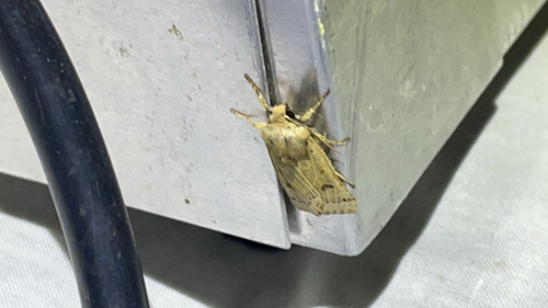
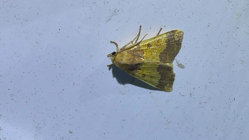
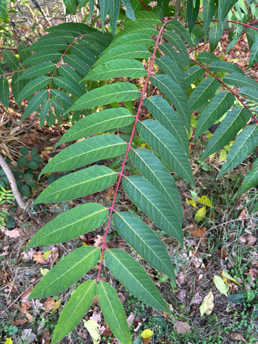
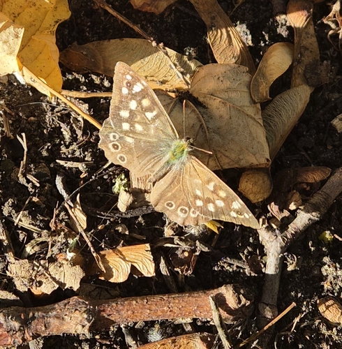
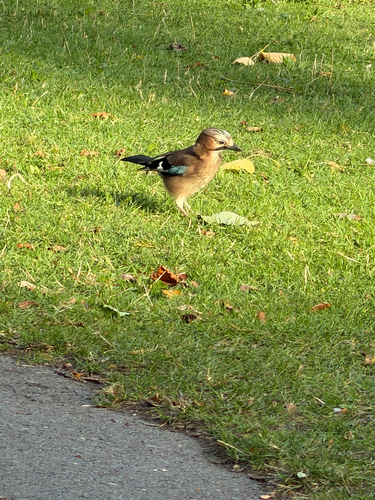
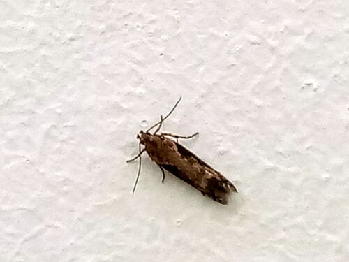
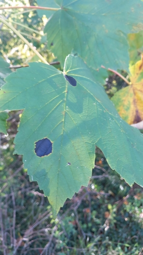
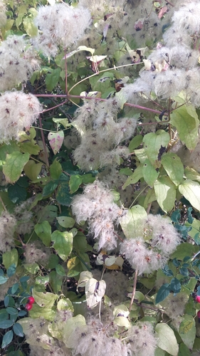
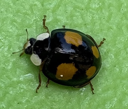
Research-grade observations from iNaturalist (within ~15 mi).
Events
Gallery
Sources
- • Wikipedia
- • Wikidata
- • USGS Earthquake Catalog (global feed)
- • GBIF (Global Biodiversity Information Facility)
- • iNaturalist
- • Open-Meteo / sunrise-sunset.org
- • Wikipedia Pageviews API
- • Open Library