Browse / United Kingdom / England / Molesey
Molesey
Englandtown
Demographic figures from UK Office for National Statistics. Overview below cites Wikipedia and may reference a different year.
City facts
Facts from Wikidata (CC0).
Overview
Molesey is a suburban neighbourhood comprising two large villages, East Molesey and West Molesey, in the Borough of Elmbridge, Surrey, England, and within the Greater London Built-up Area. Molesey is situated on the south bank of the River Thames.
Read more on WikipediaHistory & geography
History
The earliest documentary evidence of a settlement in Molesey appears in a 7th-century charter, shortly after Erkenwald founded Chertsey Abbey in AD 666. He secured from Frithwald, sub-king of Surrey, a charter endowing the abbey with much of the surrounding land, including Muleseg. Etymologists suggest that the town's name is derived from the personal name Mul compounded with the Old English word eg, meaning an island or river meadow – thus Mul's Island. The name was pronounced 'mule' and, like that hybrid animal, denoted the offspring of mixed parentage, probably of a Saxon father and a Celtic mother . Therefore, Molesey is not, as commonly believed, named after the River Mole that runs through it. The prefixes East and West did not appear until about the year 1200, before which there was only one parish centered around what is now known as East Molesey. Molesey lay within the Saxon administrative district of Elmbridge hundred. East Molesey appears in the Domesday Book of 1066 as Moleshire. It was held partly by John from Richard Fitz Gilbert and partly by Roger d'Abernon. Its Domesday assets were: 2 hides and 3 virgates. It had 7 ploughs, 2 oxen, and of meadow and woodland worth 10 hogs. It rendered £6 15s 0d. West Molesey was held by Odard Balistarius. Its Domesday assets were: 1 hide, 1 church, and 5 ploughs. It rendered £4. Along with neighbouring Thames Ditton, East Molesey formed a part of the ancient parish of Kingston upon Thames, based at the historic All Saints Church, Kingston upon Thames. From 1933, the Urban District of East and West Molesey became part of the Esher Urban District, which was originally recommended by the Royal Commission on Local Government in Greater London (the Herbert Commission) for inclusion within the new ceremonial county of…
Excerpted from the corresponding Wikipedia article (CC BY-SA).
Geography
Coordinates & boundaries from the US Census TIGER/Line shapefiles.
Climate
Air quality
Walkability
Amenities nearby
Wildlife & biodiversity
Most-observed species
- Common Wood-PigeonColumba palumbus Linnaeus, 1758 · Aves53,226
- Carrion CrowCorvus corone Linnaeus, 1758 · Aves50,066
- Eurasian MagpiePica pica (Linnaeus, 1758) · Aves47,842
- European RobinErithacus rubecula (Linnaeus, 1758) · Aves46,675
- Rose-ringed ParakeetPsittacula krameri (Scopoli, 1769) · Aves43,318
- Rock PigeonColumba livia J.F.Gmelin, 1789 · Aves41,249
- Eurasian Blue TitCyanistes caeruleus (Linnaeus, 1758) · Aves39,058
- Great TitParus major Linnaeus, 1758 · Aves38,009
Citizen-science & research observations from the Global Biodiversity Information Facility (GBIF).
Earthquake history
Most recent
- M 3.1 — 2020-09-225 km N of Aylesbury, United Kingdom
- M 3.9 — 2020-09-082 km WSW of Pitstone, United Kingdom
- M 3.3 — 2019-02-273 km SE of Dorking, United Kingdom
- M 2.8 — 2018-07-051 km S of Ewhurst, United Kingdom
- M 2.6 — 2018-06-275 km W of Capel, United Kingdom
- M 2.7 — 2018-04-014 km E of Holmwood, United Kingdom
Events from the USGS Earthquake Catalog (global) (FDSN Event Web Service).
Photos
Sights & places nearby
Notable people from here


People born within ~10 km, from Wikidata (CC0). Click any name for their Wikipedia article.
Nearby places in England
Geography & sun
Elevation, sunrise/sunset and daylight from Open-Meteo. Solar climatology from NASA POWER.
Nearby airports
Public attention
Pageview totals from the Wikimedia Pageviews API.
Books about Molesey
![[Report 1919]](https://covers.openlibrary.org/b/id/7999435-M.jpg)
![[Report 1897]](https://covers.openlibrary.org/b/id/7999443-M.jpg)
![[Report 1913]](https://covers.openlibrary.org/b/id/7999461-M.jpg)
![[Report 1895]](https://covers.openlibrary.org/b/id/7999482-M.jpg)
![[Report 1896]](https://covers.openlibrary.org/b/id/7999491-M.jpg)
![[Report 1907]](https://covers.openlibrary.org/b/id/7999579-M.jpg)
![[Report 1898]](https://covers.openlibrary.org/b/id/7999600-M.jpg)
![[Report 1925]](https://covers.openlibrary.org/b/id/7983149-M.jpg)
Search results from Open Library.
Recent natural events nearby
Ground air-quality sensors
Recently spotted species
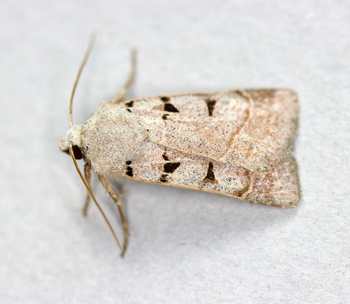
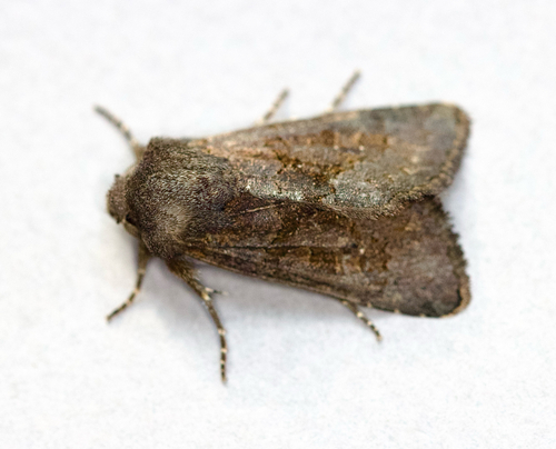
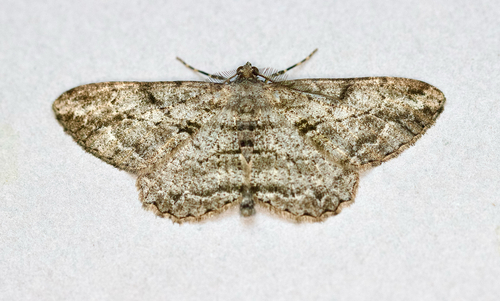
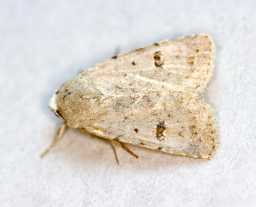
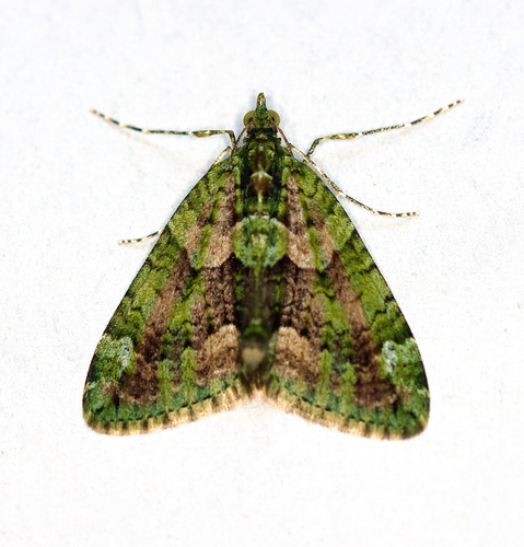
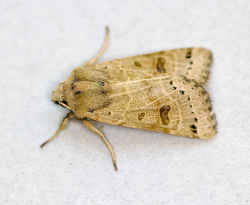
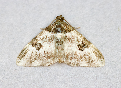
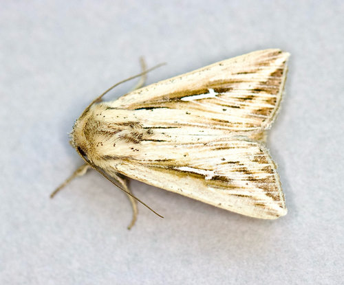
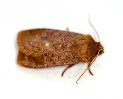
Research-grade observations from iNaturalist (within ~15 mi).
Events
Gallery
Sources
- • Wikipedia
- • Wikidata
- • USGS Earthquake Catalog (global feed)
- • GBIF (Global Biodiversity Information Facility)
- • iNaturalist
- • Open-Elevation
- • Open-Meteo / sunrise-sunset.org
- • Wikipedia Pageviews API
- • Open Library