Browse / United Kingdom / England / Ewell
Ewell
Englandtown

Ewell
Demographic figures from UK Office for National Statistics. Overview below cites Wikipedia and may reference a different year.
City facts
Facts from Wikidata (CC0).
Overview
Ewell is a town in the Epsom and Ewell district, in Surrey, England, 12 miles south of central London and two miles northeast of Epsom. At the 2011 census, it had a population of 34,872. The majority (73%) was in the ABC1 social class, except the Ruxley Ward that is C2DE.
Read more on WikipediaHistory & geography
History
The name Ewell derives from Old English æwell, which means river source or spring. The second half of the name of the village of Temple Ewell in Kent has the same meaning. Bronze Age remains have been found in Ewell and the Romans are likely to have encountered an existing religious site when they first arrived leaving pottery, bones, and a few other remains, which have been taken to the British Museum. In the 13th century Ewell current spelling appears, in the Testa de Nevill. King Henry VIII established here in 1538 Nonsuch Palace on the borders of Cheam, considered one of his greatest building projects. The estate, now Nonsuch Park, a public park, was one of his favourite hunting grounds, although no trace of the palace remains, having been destroyed during the 17th century. In the same park, is Nonsuch Mansion a Grade II* listed 18th-century house occasionally open to visitors. In 1618 Henry Lloyd, lord of the manor, was granted licence to hold a market in Ewell. The enclosure (privatisation) of its common fields of in the east and its infertile land ('waste') of was carried out in 1801. In 1879 Ewell Court House, latterly a library was built with a grotto that survives. Ewell was largely developed with semi detached housing in the 1930s, with a minority of the Ewell area built on after World War II. In the 1980s, an elderly lifelong resident of Ewell, named Digeance, recalled the pasture land and orchards that stretched north and west right across to Berrylands in the Royal Borough of Kingston upon Thames. This radical transformation is documented in the photography collected in the book Archive Photos – Epsom and Ewell. The suburban residential development across that area is mainly 1930s/40s semi-detached houses, although some Edwardian, Victorian and…
Excerpted from the corresponding Wikipedia article (CC BY-SA).
Geography
Coordinates & boundaries from the US Census TIGER/Line shapefiles.
Climate
10-year averages from ERA5 reanalysis (Open-Meteo).
Air quality
Walkability
Amenities nearby
Wildlife & biodiversity
Most-observed species
- Common Wood-PigeonColumba palumbus Linnaeus, 1758 · Aves42,181
- Carrion CrowCorvus corone Linnaeus, 1758 · Aves39,811
- European RobinErithacus rubecula (Linnaeus, 1758) · Aves39,029
- Eurasian MagpiePica pica (Linnaeus, 1758) · Aves38,021
- Rose-ringed ParakeetPsittacula krameri (Scopoli, 1769) · Aves34,581
- Eurasian Blue TitCyanistes caeruleus (Linnaeus, 1758) · Aves33,170
- Great TitParus major Linnaeus, 1758 · Aves31,787
- Rock PigeonColumba livia J.F.Gmelin, 1789 · Aves28,105
Citizen-science & research observations from the Global Biodiversity Information Facility (GBIF).
Earthquake history
Most recent
- M 3.1 — 2020-09-225 km N of Aylesbury, United Kingdom
- M 3.9 — 2020-09-082 km WSW of Pitstone, United Kingdom
- M 3.3 — 2019-02-273 km SE of Dorking, United Kingdom
- M 2.8 — 2018-07-051 km S of Ewhurst, United Kingdom
- M 2.6 — 2018-06-275 km W of Capel, United Kingdom
- M 2.7 — 2018-04-014 km E of Holmwood, United Kingdom
Events from the USGS Earthquake Catalog (global) (FDSN Event Web Service).
Photos
Sights & places nearby
Notable people from here


People born within ~10 km, from Wikidata (CC0). Click any name for their Wikipedia article.
Nearby places in England
Geography & sun
Elevation, sunrise/sunset and daylight from Open-Meteo. Solar climatology from NASA POWER.
Nearby airports
Public attention
Pageview totals from the Wikimedia Pageviews API.
Books about Ewell

![[Report 1972]](https://covers.openlibrary.org/b/id/13388418-M.jpg)
![[Report 1966]](https://covers.openlibrary.org/b/id/13427057-M.jpg)
![[Report 1937]](https://covers.openlibrary.org/b/id/7988325-M.jpg)
![[Report 1940]](https://covers.openlibrary.org/b/id/13360156-M.jpg)
![[Report 1944]](https://covers.openlibrary.org/b/id/13381198-M.jpg)
Search results from Open Library.
Recent natural events nearby
Ground air-quality sensors
Recently spotted species
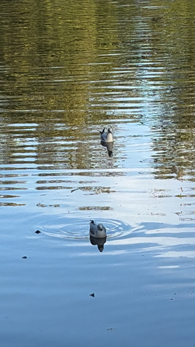
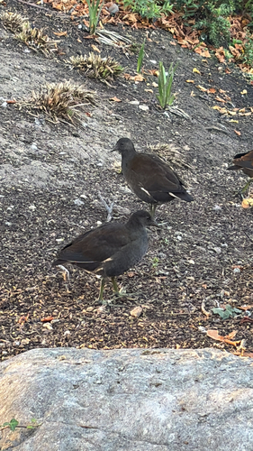
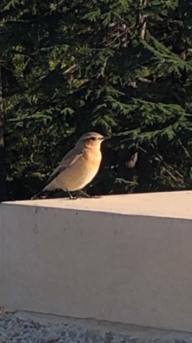
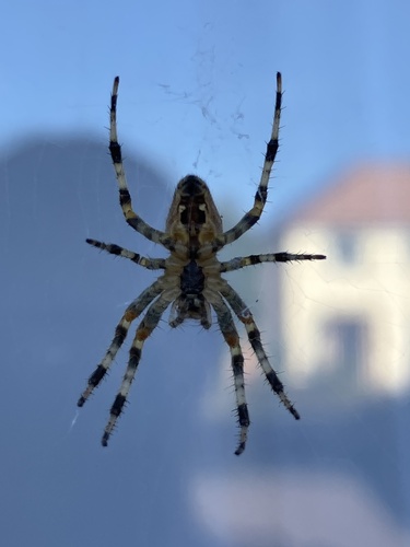
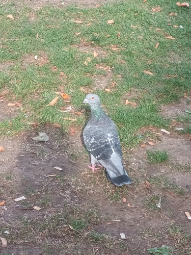
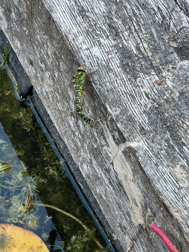
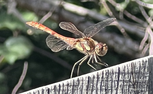
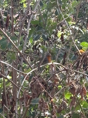
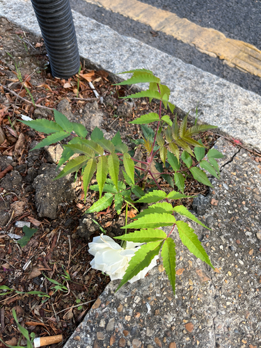
Research-grade observations from iNaturalist (within ~15 mi).
Events
Gallery
Sources
- • Wikipedia
- • Open-Meteo (ERA5 reanalysis)
- • Wikidata
- • USGS Earthquake Catalog (global feed)
- • GBIF (Global Biodiversity Information Facility)
- • iNaturalist
- • Open-Meteo / sunrise-sunset.org
- • Wikipedia Pageviews API
- • Open Library