Browse / United Kingdom / England / Twickenham
Twickenham
Englandtown

Twickenham
Demographic figures from UK Office for National Statistics. Overview below cites Wikipedia and may reference a different year.
City facts
Facts from Wikidata (CC0).
Overview
Twickenham is a suburban town in London, England, on the River Thames 9.9 miles (15.9 km) southwest of Charing Cross. Historically in Middlesex, since 1965 it has formed part of the London Borough of Richmond upon Thames, whose administrative headquarters are in the area.
Read more on WikipediaHistory & geography
History
Excavations have revealed settlements in the area dating from the Early Neolithic, possibly Mesolithic, periods. Occupation seems to have continued through the Bronze Age, the Iron Age and the Roman occupation. The name Twickenham probably derives from the Old English twiccahamm meaning 'Twicca's hemmed-in land', but it could possibly derive from twicenhamm meaning 'hemmed-in land by a river fork'. The area was first mentioned (as "Tuican hom" and "Tuiccanham") in an 8th-century charter to cede the area to Waldhere, Bishop of London, "for the salvation of our souls". The charter, dated 13 June 704, is signed with 12 crosses. The signatories included Swaefred of Essex, Cenred of Mercia and Earl Paeogthath. In Norman times Twickenham was part of the Manor of Isleworth – itself part of the Hundred of Hounslow, Middlesex (mentioned in Domesday Book of 1086). The manor had belonged to Ælfgār, Earl of Mercia in the time of Edward the Confessor, but was granted to Walter de Saint-Valery (Waleric) by William I of England after the Norman Conquest of England in 1066. The area was farmed, while the river provided opportunities for fishing, boatbuilding and trade. Bubonic plague spread to the town in 1665 and 67 deaths were recorded. It appears that Twickenham had a pest house in the 17th century, although the location is not known. There was also a watch house in the middle of the town, with stocks, a pillory and a whipping post whose owner was charged to "ward within and about this Parish and to keep all Beggars and Vagabonds that shall lye abide or lurk about the Towne and to give correction to such...". In 1633 construction began on York House. It was occupied by Edward Montagu, 2nd Earl of Manchester in 1656 and later by Edward Hyde, 1st Earl of Clarendon. In 1713…
Geography
Twickenham is bounded by the River Thames on the south and the land is relatively flat though it does rise gently to the west as it approaches Whitton. The land is fertile and was home to numerous market gardens before housing became the predominant land use with the coming of the railways in the mid nineteenth century. The town is bordered on the south-eastern side by the River Thames and Eel Pie Island – which is connected to the Twickenham embankment by a narrow footbridge, the first of which was erected in 1957. Before this, access was by means of a hand-operated ferry that was hauled across using a chain on the riverbed. The land adjacent to the river, from Strawberry Hill in the south to Marble Hill Park in the north, is occupied by a mixture of luxury dwellings, formal gardens, public houses and a newly built park and leisure facility. In the south, in Strawberry Hill, lies St Mary's University, historically specialising in sports studies, teacher training, religious studies, the humanities, drama studies and English literature. Strawberry Hill was originally a small cottage in two or three acres (8,000 or 12,000 m2) of land by the River Thames. Horace Walpole, a son of the politician Robert Walpole, rented the cottage in 1747 and subsequently bought it and turned it into one of the incunabula of the Gothic revival. The university shares part of its campus with Walpole's Strawberry Hill. On adjacent land were the villa and garden of the poet Alexander Pope. The villa was demolished in 1808/09 following the orders of Lady Howe, who became irritated with the large number of tourists who visited the place. A road just north of the campus is named Pope's Grove, and a local landmark next to the main road is the Alexander Pope Hotel (previously known as…
Excerpted from the corresponding Wikipedia article (CC BY-SA).
Geography
Coordinates & boundaries from the US Census TIGER/Line shapefiles.
Climate
Air quality
Walkability
Amenities nearby
Wildlife & biodiversity
Most-observed species
- Common Wood-PigeonColumba palumbus Linnaeus, 1758 · Aves73,283
- Carrion CrowCorvus corone Linnaeus, 1758 · Aves68,192
- Eurasian MagpiePica pica (Linnaeus, 1758) · Aves67,296
- European RobinErithacus rubecula (Linnaeus, 1758) · Aves64,910
- Rose-ringed ParakeetPsittacula krameri (Scopoli, 1769) · Aves60,971
- Rock PigeonColumba livia J.F.Gmelin, 1789 · Aves59,085
- Eurasian Blue TitCyanistes caeruleus (Linnaeus, 1758) · Aves54,061
- Great TitParus major Linnaeus, 1758 · Aves53,346
Citizen-science & research observations from the Global Biodiversity Information Facility (GBIF).
Earthquake history
Most recent
- M 3.1 — 2020-09-225 km N of Aylesbury, United Kingdom
- M 3.9 — 2020-09-082 km WSW of Pitstone, United Kingdom
- M 3.3 — 2019-02-273 km SE of Dorking, United Kingdom
- M 2.8 — 2018-07-051 km S of Ewhurst, United Kingdom
- M 2.6 — 2018-06-275 km W of Capel, United Kingdom
- M 2.7 — 2018-04-014 km E of Holmwood, United Kingdom
Events from the USGS Earthquake Catalog (global) (FDSN Event Web Service).
Photos
Sights & places nearby
Notable people from here


People born within ~10 km, from Wikidata (CC0). Click any name for their Wikipedia article.
Nearby places in England
Geography & sun
Elevation, sunrise/sunset and daylight from Open-Meteo. Solar climatology from NASA POWER.
Nearby airports
Public attention
Pageview totals from the Wikimedia Pageviews API.
Books about Twickenham


Search results from Open Library.
Recent natural events nearby
Ground air-quality sensors
Recently spotted species
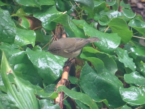
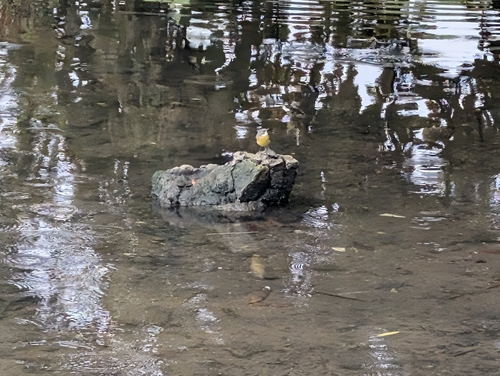

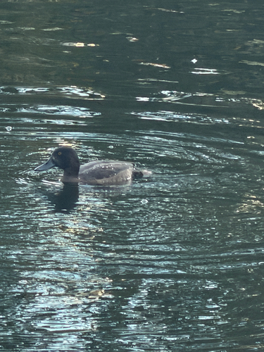
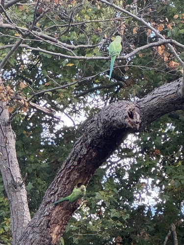
Research-grade observations from iNaturalist (within ~15 mi).
Events
Gallery
Official Identifiers
ONS — UK Office for National Statistics
- ONS code
- osgb4000000074552986
- Local type
- Other Settlement
- Region
- London
api.postcodes.io / OS Open Names
Sources
- • Wikipedia
- • Wikidata
- • USGS Earthquake Catalog (global feed)
- • GBIF (Global Biodiversity Information Facility)
- • iNaturalist
- • Open-Elevation
- • Open-Meteo / sunrise-sunset.org
- • Wikipedia Pageviews API
- • Open Library
- • ONS / OS Open Names — UK official place gazetteer, via api.postcodes.io (OS code, local type, county/unitary, district/borough, region)
- • ONS — UK Office for National Statistics — api.postcodes.io / OS Open Names