Browse / United Kingdom / England / Egham
Egham
Englandtown

Egham
Demographic figures from UK Office for National Statistics. Overview below cites Wikipedia and may reference a different year.
City facts
Facts from Wikidata (CC0).
Overview
Egham is a town in the Borough of Runnymede in Surrey, England, approximately 19 miles (31 km) west of central London. First settled in the Bronze Age, the town was under the control of Chertsey Abbey for much of the Middle Ages. In 1215, Magna Carta was sealed by King John at Runnymede, to the north of Egham, having been chosen for its proximity to the King's residence at Windsor. Under the Dissolution of the Monasteries in the early 16th Century, the major, formerly ecclesiastical, manorial freehold interests in the town and various market revenues passed to the Crown.
Read more on WikipediaHistory & geography
History
Egham predates 670 AD when Chertsey Abbey was founded; one of the earliest Chertsey charters mentions Egeham. The place-name means "Ecga's farm". Egham appears in the Domesday Book of 1086 as Egeham. It was held by Chertsey Abbey and kept by that institution after the conquest when its assets were: 15 hides; 12 ploughlands, of meadow, together with woodland, 'herbage and pannage' worth 75 hogs. It rendered one of the largest sums in Surrey to its feudal overlords per year, £30 10s 0d. The village of Egham was, before 19th-century losses, an ancient parish covering land totalling in the counties of Berkshire (briefly) and Surrey; incorporating Egham, Egham Hill, Cooper's Hill, Englefield Green, Virginia Water, Shrubs Hill, Runnymede, Egham Hythe, and a considerable portion of Windsor Great Park. In the medieval period it was divided into four roughly equal tythings: *Hythe (which was on fairly similar boundaries to Egham Hythe) *Town *Strode (later also known as Stroude), but which now denotes a much smaller, and inconsistent area *Englefield, which is partly Englefield Green, partly Virginia Water Magna Carta was sealed at nearby Runnymede in 1215, 'Kenwolde Court', 'Markwood', 'Kingswood' and 'Alderhurst' for a time home of Lord Thring. Parts of Egham have featured in national and international news in the 21st century. On 12 September 2007 a case of foot-and-mouth disease was found in Egham, from the previous outbreak found in early August 2007. Occasional flooding of Runnymede and parts of Egham Hythe have taken place following exceptional Thames Valley winter rainfall. Units of the army were deployed to assist with defences and dealing with damage from flooding in the 2013-14 winter storms.
Geography
Nearby are Staines-upon-Thames, Bagshot, Sunningdale, Englefield Green and Virginia Water, Windsor Great Park, Old Windsor and Windsor itself. The area between Egham and Staines town centres is known as Egham Hythe. North of Egham is Wraysbury, home of the British Disabled Waterski Association. South is Thorpe Park, a large theme park of rides and attractions. Also near Egham is Ascot Racecourse.
Excerpted from the corresponding Wikipedia article (CC BY-SA).
Geography
Coordinates & boundaries from the US Census TIGER/Line shapefiles.
Climate
Air quality
Walkability
Amenities nearby
Wildlife & biodiversity
Earthquake history
Photos
Sights & places nearby
Notable people from here


People born within ~10 km, from Wikidata (CC0). Click any name for their Wikipedia article.
Nearby places in England
Geography & sun
Elevation, sunrise/sunset and daylight from Open-Meteo. Solar climatology from NASA POWER.
Nearby airports
Public attention
Pageview totals from the Wikimedia Pageviews API.
Books about Egham


Search results from Open Library.
Recent natural events nearby
Ground air-quality sensors
Recently spotted species

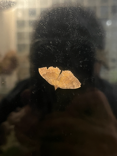



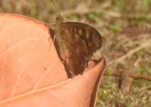
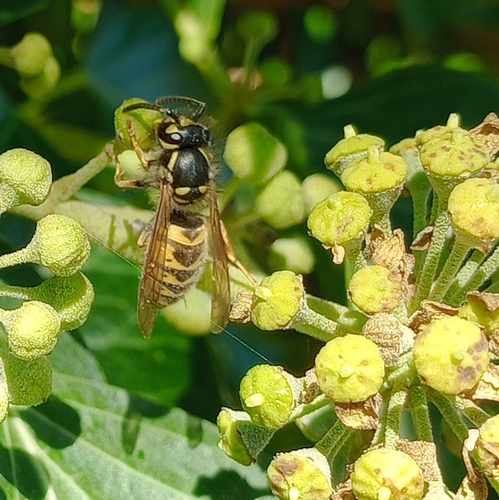
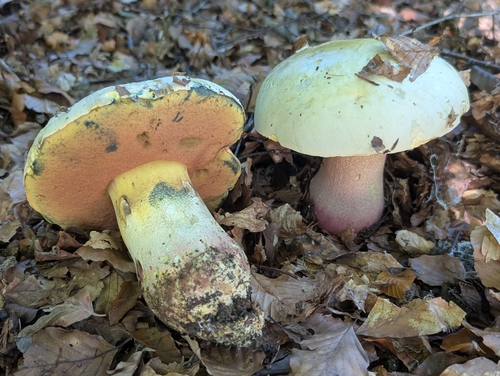
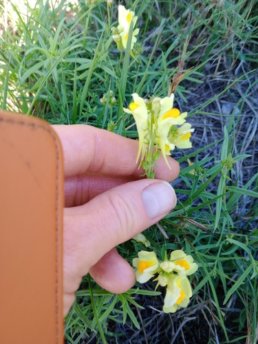
Research-grade observations from iNaturalist (within ~15 mi).
Events
Gallery
Official Identifiers
ONS — UK Office for National Statistics
- ONS code
- osgb4000000074550354
- Local type
- Town
- Region
- South East
api.postcodes.io / OS Open Names
Sources
- • Wikipedia
- • Wikidata
- • iNaturalist
- • Open-Meteo / sunrise-sunset.org
- • Wikipedia Pageviews API
- • Open Library
- • ONS / OS Open Names — UK official place gazetteer, via api.postcodes.io (OS code, local type, county/unitary, district/borough, region)
- • ONS — UK Office for National Statistics — api.postcodes.io / OS Open Names