Browse / United Kingdom / England / Tottenham
Tottenham
Englandtown

Tottenham
Demographic figures from UK Office for National Statistics. Overview below cites Wikipedia and may reference a different year.
City facts
Overview
Tottenham, is a district in north London, England, within the London Borough of Haringey. It is located in the ceremonial county of Greater London. Tottenham is centred 6 mi (10 km) north-northeast of Charing Cross, bordering Edmonton to the north, Walthamstow, across the River Lea, to the east, and Stamford Hill to the south, with Wood Green and Harringay to the west.
Read more on WikipediaHistory & geography
History
Tottenham is believed to have been named after Tota, a farmer, whose hamlet was mentioned in the Domesday Book. 'Tota's hamlet', it is thought, developed into 'Tottenham'. The settlement was recorded in the Domesday Book as Toteham, in the ancient hundred of Edmonton. It is not related to Tottenham Court Road in Central London, though the two names share a similar-sounding root. There has been a settlement at Tottenham for over a thousand years. It grew up along the old Roman road, Ermine Street (some of which is part of the present A10 road), and between High Cross and Tottenham Hale, the present Monument Way. When the Domesday Book was compiled in 1086, about 70 families lived within the area of the manor, mostly labourers working for the lord of the manor. A humorous poem entitled the Tournament of Tottenham, written around 1400, describes a mock battle between peasants vying for the reeve's daughter. The River Lea (or Lee) was the eastern boundary between the Municipal Boroughs of Tottenham and Walthamstow. It is the ancient boundary between Middlesex and Essex and also formed the western boundary of the Viking controlled Danelaw. Today it is the boundary between the London Boroughs of Haringey and Waltham Forest. A major tributary of the Lea, the River Moselle, also crosses the borough from west to east, and often caused serious flooding until it was mostly covered in the 19th century. From the Tudor period onwards, Tottenham became a popular recreation and leisure destination for wealthy Londoners. Henry VIII is known to have visited Bruce Castle and also hunted in Tottenham Wood. A rural Tottenham also featured in Izaak Walton's book The Compleat Angler, published in 1653. The area became noted for its large Quaker population and its schools (including…
Geography
Tottenham's elevation is approximately above sea level. Because of Tottenham's long history as a borough, the Tottenham name is used by some to this day to describe the whole of the area formerly covered by the old borough, incorporating the N17 postcode area and part of N15. However, there are differing views as to what constitutes the Tottenham neighbourhood in the present day. Many think of Tottenham today as most of the area covered by the N17 post code, sometimes using the phrase 'Tottenham Proper' to describe it and to distinguish it from the other parts of the old borough. *North: This area stretches along Tottenham High Road from the Edmonton border in the north to Lordship Lane in the south: districts include Little Russia and Northumberland Park. *Central: Continuing along the high road, the central area includes Tottenham Hale, as well as Tottenham Hale station and retail park. *West: To the west of the area are Broadwater Farm and the Tower Gardens Estate. *South: Further along the A10 road until St Ann's Road, including South Tottenham and Seven Sisters. *Edmonton *Harringay *Noel Park *Palmers Green *St Ann's *Tottenham Hale *Walthamstow *West Green *Wood Green *South Tottenham
Excerpted from the corresponding Wikipedia article (CC BY-SA).
Geography
Coordinates & boundaries from the US Census TIGER/Line shapefiles.
Climate
Air quality
Walkability
Amenities nearby
Wildlife & biodiversity
Most-observed species
- Common Wood-PigeonColumba palumbus Linnaeus, 1758 · Aves57,482
- Carrion CrowCorvus corone Linnaeus, 1758 · Aves55,866
- Eurasian MagpiePica pica (Linnaeus, 1758) · Aves54,665
- Rock PigeonColumba livia J.F.Gmelin, 1789 · Aves52,357
- European RobinErithacus rubecula (Linnaeus, 1758) · Aves49,427
- Rose-ringed ParakeetPsittacula krameri (Scopoli, 1769) · Aves46,557
- Eurasian CootFulica atra Linnaeus, 1758 · Aves42,465
- Great TitParus major Linnaeus, 1758 · Aves42,014
Citizen-science & research observations from the Global Biodiversity Information Facility (GBIF).
Earthquake history
Most recent
- M 3.1 — 2020-09-225 km N of Aylesbury, United Kingdom
- M 3.9 — 2020-09-082 km WSW of Pitstone, United Kingdom
- M 3.3 — 2019-02-273 km SE of Dorking, United Kingdom
- M 2.8 — 2018-07-051 km S of Ewhurst, United Kingdom
- M 2.6 — 2018-06-275 km W of Capel, United Kingdom
- M 2.7 — 2018-04-014 km E of Holmwood, United Kingdom
Events from the USGS Earthquake Catalog (global) (FDSN Event Web Service).
Photos
Sights & places nearby
Notable people from here


People born within ~10 km, from Wikidata (CC0). Click any name for their Wikipedia article.
Nearby places in England
Geography & sun
Nearby airports
Public attention
Books about this place
Recent natural events nearby
Ground air-quality sensors
Recently spotted species
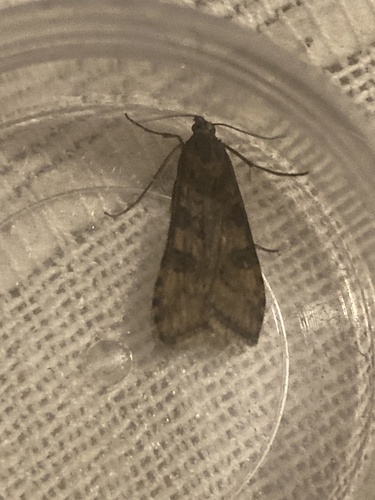
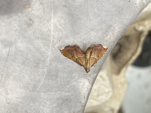
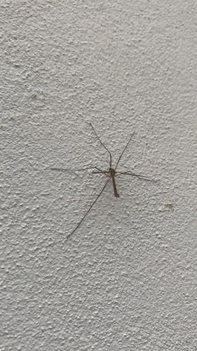
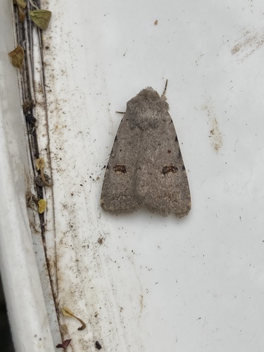

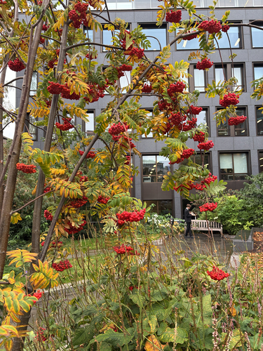
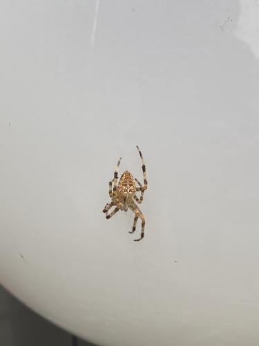
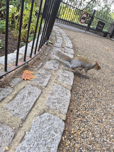
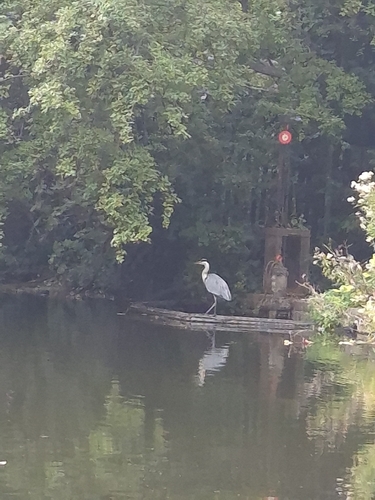
Research-grade observations from iNaturalist (within ~15 mi).
Events
Gallery
Official Identifiers
ONS — UK Office for National Statistics
- ONS code
- osgb4000000074574409
- Local type
- Other Settlement
- Region
- London
api.postcodes.io / OS Open Names
Sources
- • Wikipedia
- • Wikidata
- • USGS Earthquake Catalog (global feed)
- • GBIF (Global Biodiversity Information Facility)
- • iNaturalist
- • ONS / OS Open Names — UK official place gazetteer, via api.postcodes.io (OS code, local type, county/unitary, district/borough, region)
- • ONS — UK Office for National Statistics — api.postcodes.io / OS Open Names