Browse / United Kingdom / England / Walthamstow
Walthamstow
Englandtown

Walthamstow
Demographic figures from UK Office for National Statistics. Overview below cites Wikipedia and may reference a different year.
City facts
Overview
Walthamstow is a town within the London Borough of Waltham Forest in East London. The town borders Chingford to the north, Snaresbrook and South Woodford to the east, Leyton and Leytonstone to the south, and Tottenham to the west. At the 2011 census, Walthamstow had a population of approximately 109,424 and is around 7.5 miles (12 km) north-east of Central London.
Read more on WikipediaHistory & geography
History
Walthamstow is recorded as Wilcumestowe ("the Place of Welcome") and in the Domesday Book of 1086 as Wilcumestou. The Domesday Book describes Wilcumestou as a manor owned by the Anglo-Saxon nobleman Earl Waltheof of Huntingdon and Northumbria before the Norman conquest of 1066. After the execution of Earl Waltheof, the property of the land passed to his wife, Countess Judith, also known as Judith of Lens, a niece of William the Conqueror. The Domesday Book records 36 villeins, 25 bordars and 4 slaves living in the manor in 1086. Alice, daughter of Earl Waltheof and Countess Judith, inherited Walthamstow. She married the Norman nobleman Ralph de Tosny or Toeni (also known as Raoul IV de Conches) in 1103. When her husband died, , Alice gave the church of Walthamstow to the Priors of the Holy Trinity based in Aldgate, London. King John stayed in Walthamstow for two nights in February 1208. In the 1660s Sir William Batten, Surveyor of the Navy, and his wife Elizabeth Woodcocke had a house in Wood Street where, according to Samuel Pepys, Batten lived "like a prince" and cultivated a vineyard. The Vestry House, now the Vestry House Museum, was used as the first town hall. The influential textile designer and craftsman William Morris was born in Walthamstow in 1834. The Georgian mansion where he lived as a teenager houses the William Morris Gallery. By 1870 Walthamstow had grown to the size of a small suburb and a new town hall was built in Orford Road from which affairs of the village were run. A new town hall designed by architect Philip Dalton Hepworth in the Nordic Classical style was built between 1938 and 1942. Until the late 19th century Walthamstow was largely rural, with a small village centre (now Walthamstow Village) and a number of large estates. The main…
Excerpted from the corresponding Wikipedia article (CC BY-SA).
Geography
Coordinates & boundaries from the US Census TIGER/Line shapefiles.
Climate
Air quality
Walkability
Amenities nearby
Wildlife & biodiversity
Earthquake history
Photos
Sights & places nearby
Notable people from here
Nearby places in England
Geography & sun
Elevation, sunrise/sunset and daylight from Open-Meteo. Solar climatology from NASA POWER.
Nearby airports
Public attention
Pageview totals from the Wikimedia Pageviews API.
Books about Walthamstow

![[Report of the Medical Officer of Health for Walthamstow (London, England) UDC 1906]](https://covers.openlibrary.org/b/id/13386530-M.jpg)
Search results from Open Library.
Recent natural events nearby
Ground air-quality sensors
Recently spotted species
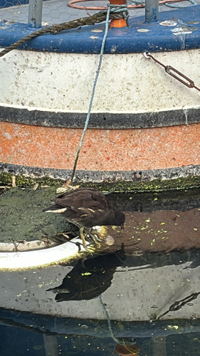
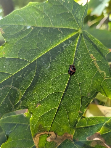
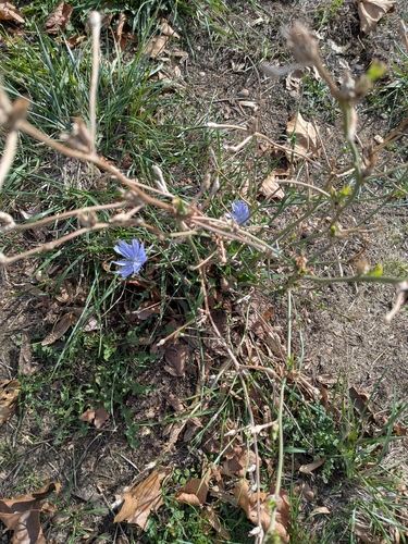
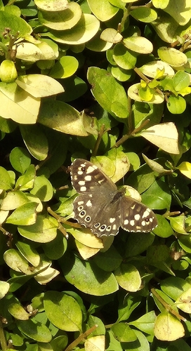
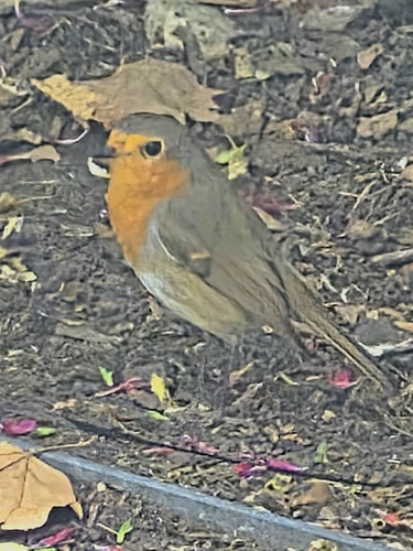
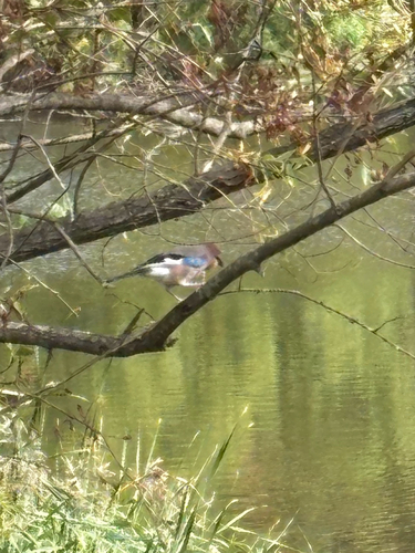
Research-grade observations from iNaturalist (within ~15 mi).
Events
Gallery
Official Identifiers
ONS — UK Office for National Statistics
- ONS code
- osgb4000000074578072
- Local type
- Other Settlement
- Region
- London
api.postcodes.io / OS Open Names
Sources
- • Wikipedia
- • iNaturalist
- • Open-Elevation
- • Open-Meteo / sunrise-sunset.org
- • Wikipedia Pageviews API
- • Open Library
- • ONS / OS Open Names — UK official place gazetteer, via api.postcodes.io (OS code, local type, county/unitary, district/borough, region)
- • ONS — UK Office for National Statistics — api.postcodes.io / OS Open Names