Browse / United Kingdom / England / Ingatestone
Ingatestone
Englandtown

Ingatestone
Demographic figures from UK Office for National Statistics. Overview below cites Wikipedia and may reference a different year.
City facts
Overview
Ingatestone is a village in the civil parish of Ingatestone and Fryerning in the Borough of Brentwood in Essex, England. It lies 5 miles (8 km) north-east of Brentwood and 25 miles (40 km) north-east of Charing Cross in central London. At the 2021 Census the built up area as defined by the Office for National Statistics, which also includes Mountnessing, had a population of 5,410.
Read more on WikipediaHistory & geography
History
Ingatestone is one of a number of villages on or near the river Wid to contain an old name, Ing. It is thought that this was the name of a large district that encompassed these places, found in the Domesday Book as Ginga or Inga, part of the Chelmsford Hundred. Its etymology is uncertain, but Eilert Ekwall has proposed the reconstructed Old English name *Gigingas or similar as the original name of the district. He connects this with OE gē (equivalent of Gothic gawi), meaning "district". Gawi is posited as the base of Gauingen in Germany, and is found in several personal names. Ekwall suggests *Gēga or *Giga as possible Essex-dialect personal names (derived from gē) from which *Gigingas (possibly "the people of Giga") may derive. The territory gradually fragmented into smaller manors and parishes, which took various prefixes and suffixes to distinguish them. it was recorded as Gynges atte Ston in 1283, and as Inge atte Stone in 1433. Fryerning was the Inga of the friars, referring to its ownership by the Knights Hospitallers. Mountnessing was the Inga owned by the Mounteney family, and Margaretting was the Inga with the church dedicated to St Margaret. Buttsbury to the east was historically also called Ginge. Ingatestone appeared in Saxon times on the Essex Great Road (now the A12) between the Roman towns of Londinium (London) and Camulodunum (Colchester). The village is built on boulder clay lands. The village stone, deposited by glacial action, is unusual for the area. A large Sarsen stone can still be seen, split into three, with one piece by the west door of the St Edmund and St Mary's parish church and one each side of the entrance to Fryerning Lane. Ingatestone belonged to Barking Abbey from about 950 AD until the Dissolution of the Monasteries, when it was…
Excerpted from the corresponding Wikipedia article (CC BY-SA).
Geography
Coordinates & boundaries from the US Census TIGER/Line shapefiles.
Climate
Air quality
Walkability
Amenities nearby
Wildlife & biodiversity
Earthquake history
Photos
Sights & places nearby
Notable people from here


People born within ~10 km, from Wikidata (CC0). Click any name for their Wikipedia article.
Nearby places in England
Geography & sun
Elevation, sunrise/sunset and daylight from Open-Meteo. Solar climatology from NASA POWER.
Nearby airports
Public attention
Pageview totals from the Wikimedia Pageviews API.
Books about Ingatestone
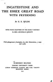


Search results from Open Library.
Recent natural events nearby
Ground air-quality sensors
Recently spotted species
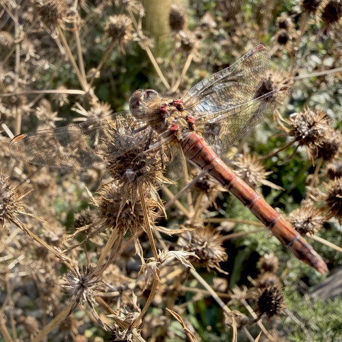
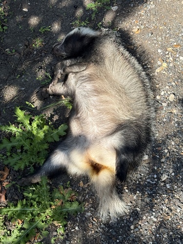
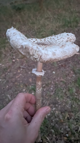
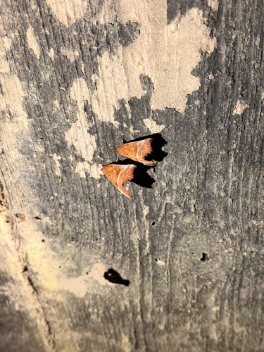
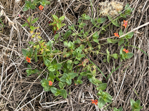
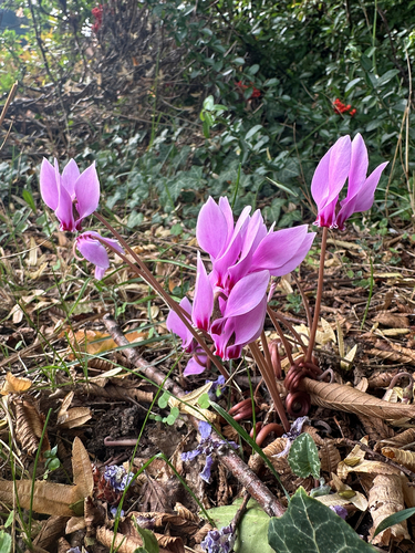
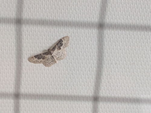
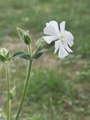
Research-grade observations from iNaturalist (within ~15 mi).
Events
Gallery
Sources
- • Wikipedia
- • Wikidata
- • iNaturalist
- • Open-Meteo / sunrise-sunset.org
- • Wikipedia Pageviews API
- • Open Library