Browse / United Kingdom / England / Guildford
Guildford
Englandtown

Guildford
Total population
66,773
Demographic figures from UK Office for National Statistics. Overview below cites Wikipedia and may reference a different year.
City facts
Sister cities
Facts from Wikidata (CC0).
Overview
Guildford is a town in west Surrey, England, around 27 mi (43 km) southwest of central London. As of the 2011 census, the town had a population of about 77,000; it is the seat of the wider Borough of Guildford, which had around 151,359 inhabitants in 2024. Its name is thought to derive from a crossing of the River Wey, a tributary of the River Thames, that flows through the town centre.
Read more on WikipediaHistory & geography
History
The earliest evidence of human activity in the Guildford area is from St Catherine's Hill, where Mesolithic flint tools have been found. There may also have been Bronze Age and Iron Age settlements on the hill. Traces of a 2nd-century villa were discovered at Broadstreet Common during an excavation in 1998. There is thought to have been an Anglo-Saxon settlement in the Guildford area by the early 6th century, although its precise location is unclear. Excavations in the 1930s revealed a Saxon cemetery at Guildown at the east end of the Hog's Back. Burials took place at the site up to the mid-11th century, but the oldest skeletons were buried in the late 6th century.{{refn|Thirty of the oldest skeletons excavated from Guildown were found with grave goods, including broo The first written record of Guildford is from the will of Alfred the Great, dated to around 880, in which the settlement was left to his nephew, Aethelwold. Although it does not appear in the Burghal Hidage, compiled , by the end of the 10th century the town was sufficiently important to be the location of a Royal Mint. Coins were struck at Guildford from 978 until at least 1099. Aetheling was arrested by Godwin, Earl of Wessex and his men were killed. Many of the skeletons showed evidence of a violent death and the skulls of two were between their legs, suggesting that they had been executed by decapitation. Aetheling was taken to Ely, where he was blinded, and he is thought to have died there in February 1036. Its location, on Quarry Street, may indicate that, at the time of its construction, the High Street had either not been laid out or was not the principal road. There is no significant archaeological evidence of human activity in the modern town centre before the 11th century and it is possible…
Geography
Charlotteville is one of the first planned suburbs in Britain. The estate was funded by a local doctor, Thomas Sells, and named after his wife, Charlotte. It was developed by the Guildford architect Henry Peak in 1862 and is loosely bound between Shalford Road and Sydenham Road, encompassing the beauty spot of Pewley Down. The area's roads were named after English doctors, including Addison Road, Cheselden Road, Harvey Road and Jenner Road. Public footpaths lead from the town through Charlotteville to the downs and towards St Martha's Hill and Albury. It houses a great many cottages and a few large, mostly privately owned properties. The official designation of the heart of Charlotteville as a conservation area means that Peak's work may survive. The development introduced institutions such as the Cork Club, the Charlotteville Cycling Club, founded in 1903 with the then mayor as its first president, and the Charlotteville Jubilee Trust charity, formed at the time of the Golden Jubilee. Two schools were established in the village - one infant and one junior school. merging to form the Holy Trinity Pewley Down School in the late 2000s. The last of the shops closed in 2006. Stoke next Guildford, the central northern area of the town, contains Stoke Park and the historic manor of Stoke at its centre, now the site of Guildford College. To the north of the park is the Guildford Spectrum leisure and sports centre. To the south of this mostly residential neighbourhood is London Road railway station, On Stoke Road there is a listed hotel, The Stoke. Burpham and Merrow are former villages that are now major suburbs of Guildford. Bellfields is a suburb in the north of Guildford lying adjacent to Slyfield Industrial Estate and Stoughton. The area includes private estates as…
Excerpted from the corresponding Wikipedia article (CC BY-SA).
Geography
Coordinates & boundaries from the US Census TIGER/Line shapefiles.
Climate
Air quality
Walkability
Amenities nearby
Wildlife & biodiversity
Earthquake history
Photos
Sights & places nearby
Notable people from here


People born within ~10 km, from Wikidata (CC0). Click any name for their Wikipedia article.
Nearby places in England
Geography & sun
Elevation, sunrise/sunset and daylight from Open-Meteo. Solar climatology from NASA POWER.
Nearby airports
Public attention
Pageview totals from the Wikimedia Pageviews API.
Books about Guildford
Search results from Open Library.
Recent natural events nearby
Ground air-quality sensors
Recently spotted species


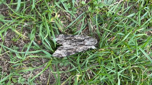
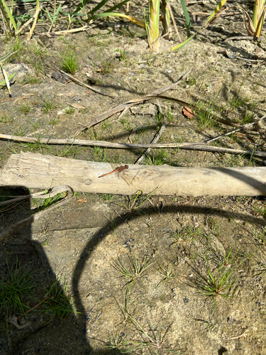
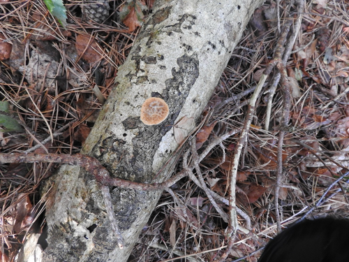

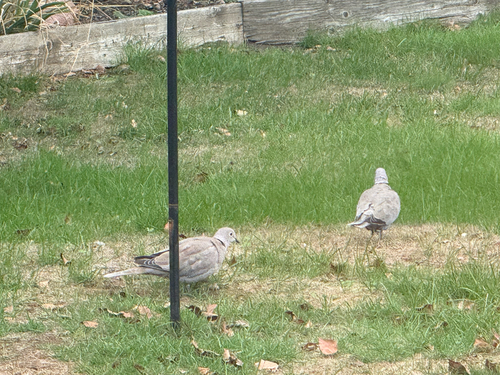
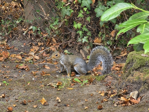

Research-grade observations from iNaturalist (within ~15 mi).
Events
Gallery
Official Identifiers
ONS — UK Office for National Statistics
- ONS code
- osgb4000000074568981
- Local type
- Town
- Region
- South East
api.postcodes.io / OS Open Names
Sources
- • Wikipedia
- • Wikidata
- • iNaturalist
- • Open-Meteo / sunrise-sunset.org
- • Wikipedia Pageviews API
- • Open Library
- • Wikidata SPARQL (CC0) — population, area, elevation, inception, head of government, Commons image
- • ONS / OS Open Names — UK official place gazetteer, via api.postcodes.io (OS code, local type, county/unitary, district/borough, region)
- • ONS — UK Office for National Statistics — api.postcodes.io / OS Open Names