Browse / United Kingdom / England / Hartford
Hartford
Englandvillage

Hartford
Total population
5,515
Demographic figures from UK Office for National Statistics. Overview below cites Wikipedia and may reference a different year.
City facts
Overview
Hartford is a village and civil parish in the unitary authority of Cheshire West and Chester and the ceremonial county of Cheshire, England. It lies in the Cheshire Plain, to the south-west of the town of Northwich, at the intersection of the A559 road and the West Coast Main Line. It is surrounded by the parishes of Weaverham to the north, Kingsmead and Davenham to the east, Whitegate and Marton to the south and Cuddington to the west.
Read more on WikipediaHistory & geography
History
Hartford was recorded in the Domesday Book of 1086, when the Manor was held by Gilbert de Venables as part of the Barony of Kinderton. Prior to the reign of Edward III, it was held by a family who assumed the local name, from which it passed to the Horton, Massey, Holcroft, Marbury and Davies families. In 1644, during the English Civil War, a battle was fought at Hartford Green when Royalists from Chester encountered the Parliamentary forces from Northwich. St John the Baptist Church was built in 1875, on the site of an earlier church that was consecrated in 1824. The original building was replaced because the village's population grew and the church became too small. The new building was designed by John Douglas. Hartford was formerly a township divided between two ancient parishes; the greater part belonged to Witton chapelry of Great Budworth ancient parish, and a much smaller part in Weaverham cum Milton ancient parish. It also formed part of Eddisbury Hundred and was placed in Northwich poor law union in 1836. It was constituted a civil parish in 1866 and, in 1875, was added to the newly formed Northwich rural sanitary district. Hartford railway station opened in 1837. A war memorial to those from the village who fought in World War I was erected in 1921 and stands in the centre of a path in the churchyard of St John's Church. From 1894 to 1974, the whole of Hartford was part of Northwich rural district and it was served by Vale Royal borough council. In April 2009, the latter ceased to exist and Hartford is now a civil parish within the unitary authority of Cheshire West and Chester.
Excerpted from the corresponding Wikipedia article (CC BY-SA).
Geography
Coordinates & boundaries from the US Census TIGER/Line shapefiles.
Climate
Air quality
Walkability
Amenities nearby
Wildlife & biodiversity
Earthquake history
Photos
Sights & places nearby
Notable people from here
Nearby places in England
Geography & sun
Elevation, sunrise/sunset and daylight from Open-Meteo. Solar climatology from NASA POWER.
Nearby airports
Public attention
Pageview totals from the Wikimedia Pageviews API.
Books about Hartford
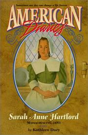


Search results from Open Library.
Recent natural events nearby
Ground air-quality sensors
Recently spotted species
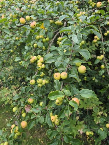



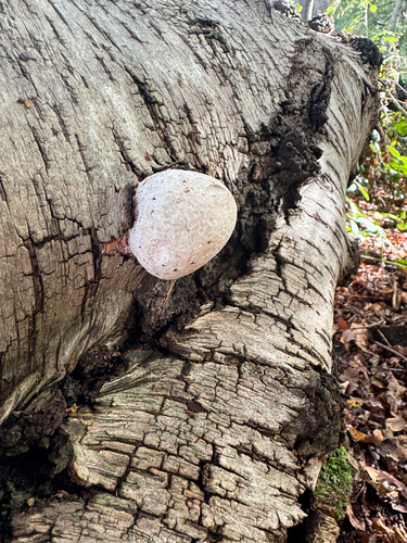




Research-grade observations from iNaturalist (within ~15 mi).
Events
Gallery
Geotagged photos within ~6 miles of Hartford, from Wikimedia Commons contributors.
 0.1 mi
 0.1 mi
 0.2 mi
 0.2 mi
 0.2 mi
.jpg) 0.2 mi
0.2 mi 0.2 mi
 0.2 mi
 0.2 mi
 0.2 mi
 0.2 mi
 0.2 mi
 0.2 mi
 0.2 mi
 0.2 mi
 0.3 mi
 0.3 mi
 0.3 mi
 0.3 mi
 0.3 mi
 0.3 mi
 0.3 mi
 0.3 mi
 0.3 mi
Photos via Wikimedia Commons — see each image page for license & attribution.
Official Identifiers
ONS — UK Office for National Statistics
- ONS code
- osgb4000000074562966
- Local type
- Village
- Region
- North West
api.postcodes.io / OS Open Names
Sources
- • Wikipedia
- • Wikimedia Commons
- • iNaturalist
- • Open-Meteo / sunrise-sunset.org
- • Wikipedia Pageviews API
- • Open Library
- • ONS / OS Open Names — UK official place gazetteer, via api.postcodes.io (OS code, local type, county/unitary, district/borough, region)
- • ONS — UK Office for National Statistics — api.postcodes.io / OS Open Names